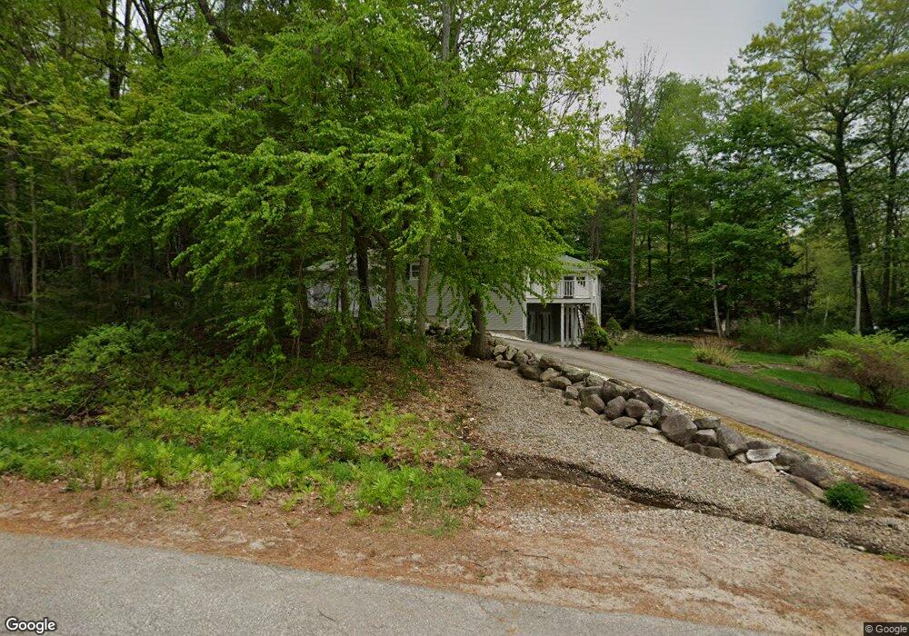
10 Baas Dr Unit 8 Wolfeboro, NH 03894
Estimated Value: $846,988 - $1,079,000
4
Beds
3
Baths
3,045
Sq Ft
$314/Sq Ft
Est. Value
About This Home
This home is located at 10 Baas Dr Unit 8, Wolfeboro, NH 03894 and is currently estimated at $956,497, approximately $314 per square foot. 10 Baas Dr Unit 8 is a home located in Carroll County with nearby schools including Carpenter Elementary School, Crescent Lake School, and Kingswood Regional Middle School.
Ownership History
Date
Name
Owned For
Owner Type
Purchase Details
Closed on
Aug 25, 2022
Sold by
Joanne K Lynch T
Bought by
Christopher Herrick Lt
Current Estimated Value
Home Financials for this Owner
Home Financials are based on the most recent Mortgage that was taken out on this home.
Original Mortgage
$634,000
Outstanding Balance
$602,576
Interest Rate
4.63%
Mortgage Type
Purchase Money Mortgage
Estimated Equity
$353,921
Create a Home Valuation Report for This Property
The Home Valuation Report is an in-depth analysis detailing your home's value as well as a comparison with similar homes in the area
Home Values in the Area
Average Home Value in this Area
Purchase History
| Date | Buyer | Sale Price | Title Company |
|---|---|---|---|
| Christopher Herrick Lt | $792,533 | None Available |
Source: Public Records
Mortgage History
| Date | Status | Borrower | Loan Amount |
|---|---|---|---|
| Open | Christopher Herrick Lt | $634,000 |
Source: Public Records
Tax History
| Year | Tax Paid | Tax Assessment Tax Assessment Total Assessment is a certain percentage of the fair market value that is determined by local assessors to be the total taxable value of land and additions on the property. | Land | Improvement |
|---|---|---|---|---|
| 2024 | $7,735 | $486,500 | $110,400 | $376,100 |
| 2023 | $7,000 | $476,500 | $110,400 | $366,100 |
| 2022 | $6,299 | $476,500 | $110,400 | $366,100 |
| 2021 | $6,503 | $475,700 | $110,400 | $365,300 |
| 2020 | $6,189 | $475,700 | $110,400 | $365,300 |
| 2019 | $6,460 | $407,800 | $110,400 | $297,400 |
| 2018 | $5,258 | $332,800 | $110,400 | $222,400 |
| 2017 | $4,985 | $332,800 | $110,400 | $222,400 |
| 2016 | $4,869 | $332,800 | $110,400 | $222,400 |
| 2015 | $4,643 | $332,800 | $110,400 | $222,400 |
| 2014 | $6,064 | $466,100 | $195,300 | $270,800 |
| 2013 | $5,980 | $466,100 | $195,300 | $270,800 |
Source: Public Records
Map
Nearby Homes
- 40 Harbor Way Unit 24
- 6 Governor Wentworth Hwy
- 19 Governor Wentworth Hwy
- 9 Hemlock Dr
- 2 Jordan Way
- 185 Ambrose Way
- 165 Ambrose Way
- 4 Mulberry Ct
- 86 Governor Wentworth Hwy
- 12 Laurel Cir
- 00 Basin Dr Unit 2
- 290 Pine Hill Rd
- 1 Barbers Pole Rd Unit 2
- 222 N Main St
- 00 Beach Pond Rd Unit 35
- 9 Umbrella Point
- 0 Varney Rd Unit 85
- 1 Ians Way
- 16 Varney Rd
- 35 Bay St
Your Personal Tour Guide
Ask me questions while you tour the home.