10 Brookhurst Ln E Meredith, NH 03253
Estimated Value: $770,000 - $874,000
3
Beds
2
Baths
1,068
Sq Ft
$756/Sq Ft
Est. Value
About This Home
This home is located at 10 Brookhurst Ln E, Meredith, NH 03253 and is currently estimated at $807,934, approximately $756 per square foot. 10 Brookhurst Ln E is a home located in Belknap County with nearby schools including Inter-Lakes Elementary School, Sandwich Central School, and Inter-Lakes Middle High School.
Ownership History
Date
Name
Owned For
Owner Type
Purchase Details
Closed on
Jan 20, 2017
Sold by
Quinn Francis J and Quinn Barbara J
Bought by
Francis J Quinn Ret
Current Estimated Value
Purchase Details
Closed on
Dec 14, 2004
Sold by
Baker Robert S and Baker Julie A
Bought by
Quinn Francis J and Quinn Barbara J
Home Financials for this Owner
Home Financials are based on the most recent Mortgage that was taken out on this home.
Original Mortgage
$150,000
Interest Rate
5.63%
Mortgage Type
Purchase Money Mortgage
Purchase Details
Closed on
Sep 18, 1998
Sold by
Sullivan Philip J and Sullivan Jeanne F
Bought by
Baker Robert S and Baker Julie A
Home Financials for this Owner
Home Financials are based on the most recent Mortgage that was taken out on this home.
Original Mortgage
$100,000
Interest Rate
6.9%
Mortgage Type
Purchase Money Mortgage
Create a Home Valuation Report for This Property
The Home Valuation Report is an in-depth analysis detailing your home's value as well as a comparison with similar homes in the area
Home Values in the Area
Average Home Value in this Area
Purchase History
| Date | Buyer | Sale Price | Title Company |
|---|---|---|---|
| Francis J Quinn Ret | -- | -- | |
| Quinn Francis J | $329,900 | -- | |
| Baker Robert S | $140,000 | -- |
Source: Public Records
Mortgage History
| Date | Status | Borrower | Loan Amount |
|---|---|---|---|
| Previous Owner | Baker Robert S | $150,000 | |
| Previous Owner | Baker Robert S | $100,000 |
Source: Public Records
Tax History
| Year | Tax Paid | Tax Assessment Tax Assessment Total Assessment is a certain percentage of the fair market value that is determined by local assessors to be the total taxable value of land and additions on the property. | Land | Improvement |
|---|---|---|---|---|
| 2024 | $7,276 | $709,200 | $551,900 | $157,300 |
| 2023 | $7,014 | $709,200 | $551,900 | $157,300 |
| 2022 | $5,221 | $373,700 | $259,000 | $114,700 |
| 2021 | $5,019 | $373,700 | $259,000 | $114,700 |
| 2020 | $5,315 | $379,100 | $259,000 | $120,100 |
| 2019 | $4,994 | $314,300 | $209,100 | $105,200 |
| 2018 | $4,772 | $305,500 | $209,100 | $96,400 |
| 2016 | $4,315 | $276,800 | $193,000 | $83,800 |
| 2015 | $4,207 | $276,800 | $193,000 | $83,800 |
| 2014 | $4,105 | $276,800 | $193,000 | $83,800 |
| 2013 | $3,989 | $276,800 | $193,000 | $83,800 |
Source: Public Records
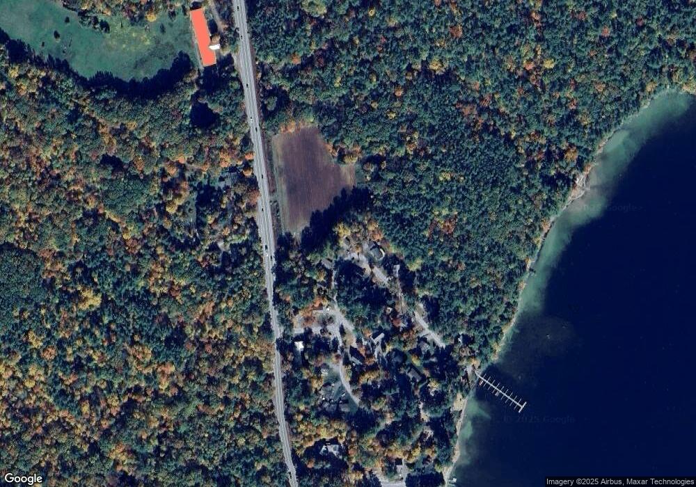
Map
Nearby Homes
- 56 Patrician Shores Cir
- 24 Dew Point Ln
- 320 Redding Ln
- 78 Lake Shore Dr Unit 14
- 9 Kelsea Ave
- 22 Tiger Trail
- 30 Leopards Leap
- 11 Birch Ledge Rd
- 20 True Rd Unit 52
- 20 True Rd Unit 101
- 20 True Rd Unit 22
- 20 True Rd Unit 73
- 20 True Rd Unit 94
- 20 True Rd Unit 93
- 214 Krainewood Dr
- 21 Barnard Ridge Rd
- 8 Oak Knoll Rd
- 53 Oak Knoll Rd
- 61 Wallace Point Rd
- 67 Kline Rd
- 12 Brookhurst Ln E
- 9 Brookhurst Ln E
- 14 Brookhurst Ln E
- 11 Brookhurst Ln E
- 2 Brookhurst Ln E
- 4 Brookhurst Ln E
- 15 Brookhurst Ln E
- 16 Brookhurst Ln E
- 17 Brookhurst Ln E
- 3 Brookhurst Ln W
- 18 Brookhurst Ln E
- 4 Beach Club Ln
- 9 Smith Farm Ln
- 1 Brookhurst Ln E
- 3 Beach Club Ln
- 5 Brookhurst Ln W
- 6 Beach Club Ln
- 19 Brookhurst Ln E
- Lot 22 Brookhurst Ln W
- 20 Brookhurst Ln E
Your Personal Tour Guide
Ask me questions while you tour the home.