10 Brookhurst Ln E Meredith, NH 03253
Estimated Value: $689,000 - $810,622
About This Home
This home is located at 10 Brookhurst Ln E, Meredith, NH 03253 and is currently estimated at $755,656, approximately $707 per square foot. 10 Brookhurst Ln E is a home located in Belknap County with nearby schools including Inter-Lakes Elementary School, Sandwich Central School, and Inter-Lakes Middle High School.
Ownership History
We collect this data history from publicly available records. To have your information removed, we recommend requesting removal directly through your county’s website.
Purchase Details
Purchase Details
Home Financials for this Owner
Home Financials are based on the most recent Mortgage that was taken out on this home.Purchase Details
Home Financials for this Owner
Home Financials are based on the most recent Mortgage that was taken out on this home.Home Values in the Area
Average Home Value in this Area
Purchase History
We collect this data history from publicly available records. To have your information removed, we recommend requesting removal directly through your county’s website.
| Date | Buyer | Sale Price | Title Company |
|---|---|---|---|
| -- | -- | ||
| $329,900 | -- | ||
| $140,000 | -- |
Mortgage History
We collect this data history from publicly available records. To have your information removed, we recommend requesting removal directly through your county’s website.
| Date | Status | Borrower | Loan Amount |
|---|---|---|---|
| Previous Owner | $150,000 | ||
| Previous Owner | $100,000 |
Tax History
We collect this data history from publicly available records. To have your information removed, we recommend requesting removal directly through your county’s website.
| Year | Tax Paid | Tax Assessment Tax Assessment Total Assessment is a certain percentage of the fair market value that is determined by local assessors to be the total taxable value of land and additions on the property. | Land | Improvement |
|---|---|---|---|---|
| 2025 | $7,532 | $709,200 | $551,900 | $157,300 |
| 2024 | $7,276 | $709,200 | $551,900 | $157,300 |
| 2023 | $7,014 | $709,200 | $551,900 | $157,300 |
| 2022 | $5,221 | $373,700 | $259,000 | $114,700 |
| 2021 | $5,019 | $373,700 | $259,000 | $114,700 |
| 2020 | $5,315 | $379,100 | $259,000 | $120,100 |
| 2019 | $4,994 | $314,300 | $209,100 | $105,200 |
| 2018 | $4,772 | $305,500 | $209,100 | $96,400 |
| 2016 | $4,315 | $276,800 | $193,000 | $83,800 |
| 2015 | $4,207 | $276,800 | $193,000 | $83,800 |
| 2014 | $4,105 | $276,800 | $193,000 | $83,800 |
| 2013 | $3,989 | $276,800 | $193,000 | $83,800 |
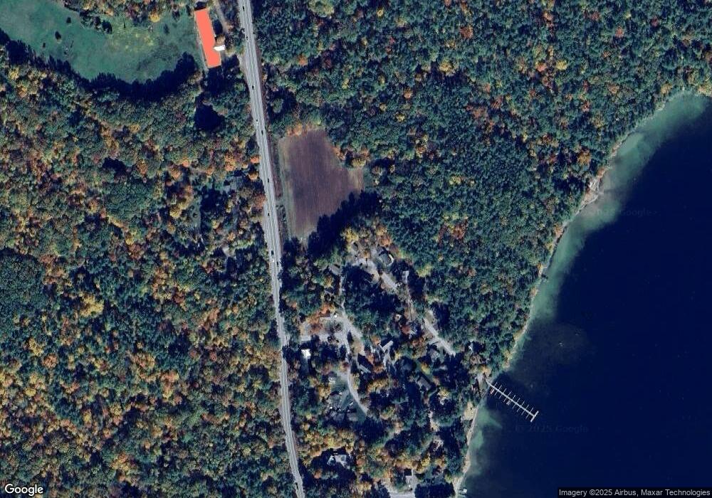
Map
- 28 Veasey Shore Rd
- 14 Lake Shore Dr
- 38 Lake Shore Dr Unit 10
- 60 Snell Rd
- 9 Kelsea Ave
- 29 Bean Rd
- 63 Black Cat Island Rd
- 70 Snell Rd
- 20 Fortsalong Rd
- 145 Hanson Dr
- 52 Little Rd
- 15 Merrivale Rd
- 307 Dane Rd
- 0 Merrivale Rd Unit 54
- 20 True Rd Unit 95
- 20 True Rd Unit 52
- 20 True Rd Unit 101
- 4 Birch Ledge Rd
- 60 Glidden Rd
- 21 Barnard Ridge Rd
- 9 Brookhurst Ln E
- 14 Brookhurst Ln E
- 11 Brookhurst Ln E
- 16 Brookhurst Ln E
- 15 Brookhurst Ln E
- 18 Brookhurst Ln E
- 4 Brookhurst Ln E
- 17 Brookhurst Ln E
- 4 Beach Club Ln
- 2 Brookhurst Ln E
- 20 Brookhurst Ln E
- 19 Brookhurst Ln E
- 3 Brookhurst Ln W
- 6 Beach Club Ln
- 3 Beach Club Ln
- 1 Brookhurst Ln E
- 22 Brookhurst Ln E
- 5 Brookhurst Ln W
- Lot 22 Brookhurst Ln W
- 5 Beach Club Ln
Ask me questions while you tour the home.