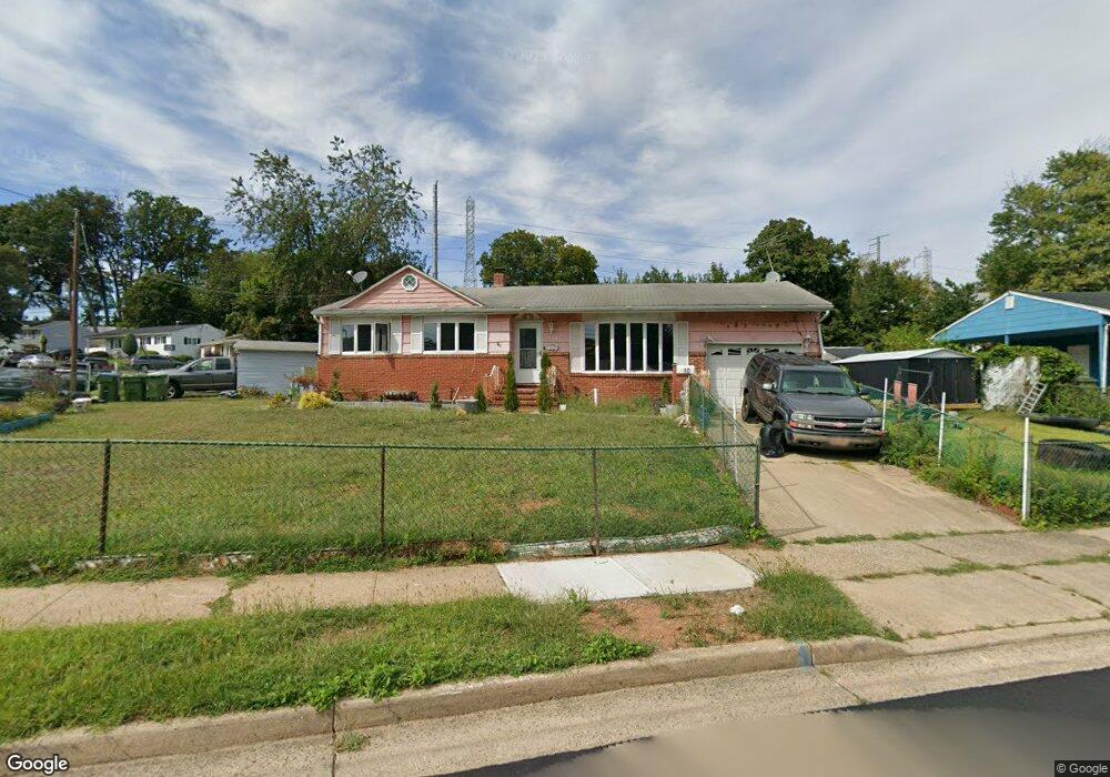
10 Brookside Rd Edison, NJ 08817
Estimated Value: $433,000 - $588,000
3
Beds
3
Baths
1,136
Sq Ft
$469/Sq Ft
Est. Value
About This Home
This home is located at 10 Brookside Rd, Edison, NJ 08817 and is currently estimated at $532,645, approximately $468 per square foot. 10 Brookside Rd is a home located in Middlesex County with nearby schools including Benjamin Franklin Elementary School, Herbert Hoover Middle School, and Edison High School.
Ownership History
Date
Name
Owned For
Owner Type
Purchase Details
Closed on
Dec 19, 2019
Sold by
Ahmed Mohsin A and Khan Sobia
Bought by
Urban Robert M
Current Estimated Value
Home Financials for this Owner
Home Financials are based on the most recent Mortgage that was taken out on this home.
Original Mortgage
$284,747
Outstanding Balance
$253,542
Interest Rate
4.12%
Mortgage Type
FHA
Estimated Equity
$279,103
Purchase Details
Closed on
Jun 29, 2004
Sold by
Argue Fergus
Bought by
Ahmed Mohsin A and Khan Sobia
Home Financials for this Owner
Home Financials are based on the most recent Mortgage that was taken out on this home.
Original Mortgage
$255,780
Interest Rate
6.33%
Mortgage Type
FHA
Create a Home Valuation Report for This Property
The Home Valuation Report is an in-depth analysis detailing your home's value as well as a comparison with similar homes in the area
Home Values in the Area
Average Home Value in this Area
Purchase History
| Date | Buyer | Sale Price | Title Company |
|---|---|---|---|
| Urban Robert M | $290,000 | Old Republic Natl Ttl Ins Co | |
| Ahmed Mohsin A | $280,000 | -- |
Source: Public Records
Mortgage History
| Date | Status | Borrower | Loan Amount |
|---|---|---|---|
| Open | Urban Robert M | $284,747 | |
| Previous Owner | Ahmed Mohsin A | $255,780 |
Source: Public Records
Tax History
| Year | Tax Paid | Tax Assessment Tax Assessment Total Assessment is a certain percentage of the fair market value that is determined by local assessors to be the total taxable value of land and additions on the property. | Land | Improvement |
|---|---|---|---|---|
| 2025 | $8,310 | $139,600 | $80,500 | $59,100 |
| 2024 | $8,266 | $139,600 | $80,500 | $59,100 |
| 2023 | $8,266 | $139,600 | $80,500 | $59,100 |
| 2022 | $8,269 | $139,600 | $80,500 | $59,100 |
| 2021 | $8,241 | $139,600 | $80,500 | $59,100 |
| 2020 | $8,165 | $139,600 | $80,500 | $59,100 |
| 2019 | $7,857 | $139,600 | $80,500 | $59,100 |
| 2018 | $7,571 | $139,600 | $80,500 | $59,100 |
| 2017 | $7,501 | $139,600 | $80,500 | $59,100 |
| 2016 | $7,365 | $139,600 | $80,500 | $59,100 |
| 2015 | $7,083 | $139,600 | $80,500 | $59,100 |
| 2014 | $6,877 | $139,600 | $80,500 | $59,100 |
Source: Public Records
Map
Nearby Homes
- 3 Brookside Rd
- 852 U S Route 1 Unit J-2
- 852 U S Route 1 Unit 4
- 9 Laurie Ln
- 7 Laurie Ln
- 6 Laurie Ln
- 7 Candy Ct
- 1 Laurie Ln
- 2 Laurie Ln
- 2573 Woodbridge Ave
- 5 Waverly Dr E
- 32 Waverly Dr W
- 484 Old Post Rd
- 2705 Woodbridge Ave
- 2707 Woodbridge Ave
- 2505 Woodbridge Ave Unit 19L
- 10 Magee Rd
- 17 Idlewild Rd
- 340 Old Post Rd
- 2318 Edward Stec Blvd Unit 2318
Your Personal Tour Guide
Ask me questions while you tour the home.