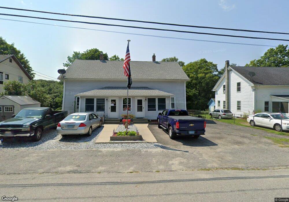
10 Brunswick Ave Unit 12 Moosup, CT 06354
Estimated Value: $286,681 - $365,000
6
Beds
2
Baths
2,553
Sq Ft
$134/Sq Ft
Est. Value
About This Home
This home is located at 10 Brunswick Ave Unit 12, Moosup, CT 06354 and is currently estimated at $342,170, approximately $134 per square foot. 10 Brunswick Ave Unit 12 is a home located in Windham County with nearby schools including Plainfield Memorial School, Plainfield Central Middle School, and Plainfield High School.
Ownership History
Date
Name
Owned For
Owner Type
Purchase Details
Closed on
Sep 17, 1993
Sold by
Moreau Arthur
Bought by
Deroko John A
Current Estimated Value
Home Financials for this Owner
Home Financials are based on the most recent Mortgage that was taken out on this home.
Original Mortgage
$40,000
Interest Rate
7.16%
Mortgage Type
Unknown
Create a Home Valuation Report for This Property
The Home Valuation Report is an in-depth analysis detailing your home's value as well as a comparison with similar homes in the area
Home Values in the Area
Average Home Value in this Area
Purchase History
| Date | Buyer | Sale Price | Title Company |
|---|---|---|---|
| Deroko John A | $31,500 | -- | |
| Deroko John A | $31,500 | -- |
Source: Public Records
Mortgage History
| Date | Status | Borrower | Loan Amount |
|---|---|---|---|
| Closed | Deroko John A | $10,000 | |
| Closed | Deroko John A | $40,000 |
Source: Public Records
Tax History Compared to Growth
Tax History
| Year | Tax Paid | Tax Assessment Tax Assessment Total Assessment is a certain percentage of the fair market value that is determined by local assessors to be the total taxable value of land and additions on the property. | Land | Improvement |
|---|---|---|---|---|
| 2025 | $3,461 | $146,580 | $23,950 | $122,630 |
| 2024 | $3,379 | $146,580 | $23,950 | $122,630 |
| 2023 | $3,363 | $146,580 | $23,950 | $122,630 |
| 2022 | $3,814 | $91,290 | $21,760 | $69,530 |
| 2021 | $2,805 | $91,290 | $21,760 | $69,530 |
| 2020 | $2,787 | $91,290 | $21,760 | $69,530 |
| 2019 | $2,787 | $91,290 | $21,760 | $69,530 |
| 2018 | $2,744 | $91,290 | $21,760 | $69,530 |
| 2017 | $3,005 | $93,850 | $21,760 | $72,090 |
| 2016 | $2,905 | $93,850 | $21,760 | $72,090 |
| 2015 | $2,831 | $93,850 | $21,760 | $72,090 |
| 2014 | $2,831 | $93,850 | $21,760 | $72,090 |
Source: Public Records
Map
Nearby Homes
- 143 Goshen Rd
- 50 High St
- 58 Milner Ave
- 11 Stone House Dr
- 6 Ward Ln
- 29 Union St
- 6 Grace Ln
- 12 Walas Rd
- 100 Squaw Rock Rd
- 181 Snake Meadow Rd
- 8 Juniper Ln
- 279 Moosup Pond Rd
- 277 Moosup Pond Rd
- 164 Starkweather Rd
- 24 River Rd
- 4 Johns Cir Unit Lot 31
- 7 Johns Cir Unit Lot 34
- 2 Johns Cir Unit Lot 30
- 1 John's Cir Unit Lot 37
- 8 John's Cir Unit Lot 33
- 6 Brunswick Ave
- 68 Brunswick Ave
- 14 Brunswick Ave Unit 16
- 14-16 Brunswick Ave
- 06354 Main St
- 517 N Main St
- 18 Brunswick Ave Unit 20
- 2 Parent Hill Rd
- 21 Brunswick Ave
- 503 N Main St
- 24 Brunswick Ave
- 543 N Main St
- 4 Barber Hill Rd
- 22 Brunswick Ave Unit 24
- 484 N Main St
- 549 N Main St
- 546 N Main St
- 31 Brunswick Ave Unit 33
- 10 Parent Hill Rd
- 7 Parent Hill Rd