10 Captain Collis Dr Buzzards Bay, MA 02532
Estimated Value: $779,000 - $1,250,705
5
Beds
2
Baths
1,707
Sq Ft
$600/Sq Ft
Est. Value
About This Home
This home is located at 10 Captain Collis Dr, Buzzards Bay, MA 02532 and is currently estimated at $1,023,568, approximately $599 per square foot. 10 Captain Collis Dr is a home.
Ownership History
Date
Name
Owned For
Owner Type
Purchase Details
Closed on
Oct 17, 2022
Sold by
Riva Randall J and Riva Diane M
Bought by
10 Captain Collis Dr Rt and Riva
Current Estimated Value
Purchase Details
Closed on
Jun 26, 2017
Sold by
Riva Ramo P
Bought by
Riva Randall J and Riva Diane M
Purchase Details
Closed on
Nov 2, 1976
Bought by
Riva Ramo F and Riva Lillian M
Create a Home Valuation Report for This Property
The Home Valuation Report is an in-depth analysis detailing your home's value as well as a comparison with similar homes in the area
Purchase History
| Date | Buyer | Sale Price | Title Company |
|---|---|---|---|
| 10 Captain Collis Dr Rt | -- | None Available | |
| 10 Captain Collis Dr Rt | -- | None Available | |
| Riva Randall J | -- | -- | |
| Riva Randall J | -- | -- | |
| Riva Ramo F | -- | -- |
Source: Public Records
Mortgage History
| Date | Status | Borrower | Loan Amount |
|---|---|---|---|
| Previous Owner | Riva Ramo F | $85,000 |
Source: Public Records
Tax History
| Year | Tax Paid | Tax Assessment Tax Assessment Total Assessment is a certain percentage of the fair market value that is determined by local assessors to be the total taxable value of land and additions on the property. | Land | Improvement |
|---|---|---|---|---|
| 2025 | $12,216 | $1,112,600 | $681,100 | $431,500 |
| 2024 | $11,334 | $970,400 | $528,500 | $441,900 |
| 2023 | $10,779 | $877,200 | $480,900 | $396,300 |
| 2022 | $10,779 | $791,400 | $480,900 | $310,500 |
| 2021 | $10,480 | $748,600 | $480,900 | $267,700 |
| 2020 | $10,108 | $737,300 | $480,900 | $256,400 |
| 2019 | $9,211 | $679,300 | $512,600 | $166,700 |
| 2018 | $9,195 | $654,900 | $512,600 | $142,300 |
| 2017 | $8,963 | $641,100 | $512,600 | $128,500 |
| 2016 | $8,006 | $568,200 | $453,400 | $114,800 |
| 2015 | $7,746 | $565,400 | $453,400 | $112,000 |
| 2014 | $7,650 | $575,600 | $461,500 | $114,100 |
Source: Public Records
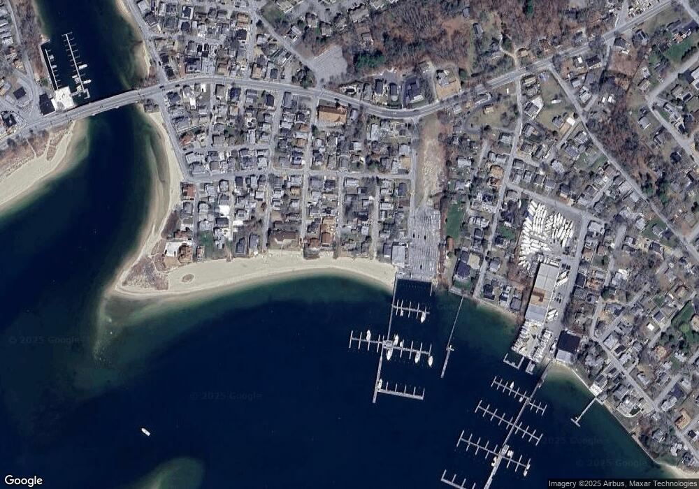
Map
Nearby Homes
- 3 Carleton St Unit 3
- 32 Carleton St Unit 32
- 20 Evergreen St
- 20 Evergreen St
- 3 Short Neck Rd
- 10 East Blvd
- 10 East Blvd
- 35 Locust St
- 35 Locust St
- 12 Mason Street Extension
- 36B Starboard Dr Unit 36E
- 36B Starboard Dr Unit 36G
- 36B Starboard Dr Unit 36C
- 36B Starboard Dr Unit 36A
- 36B Starboard Dr Unit 36D
- 36B Starboard Dr Unit 36B
- 36B Starboard Dr Unit 36F
- 36B Starboard Dr Unit 36H
- 23 Starboard Dr Unit Lot 50
- 0 Broad St Off Unit 72362523
- 9 Clearwater Dr
- 9 Captain Collis Dr
- 7 Captain Collis Dr
- 7 Clearwater Dr
- 20 Onset Bay Ln
- 5 Captain Collis Dr
- 14 Clearwater Dr
- 18 Onset Bay Ln
- 4 Captain Collis Dr
- 10 Clearwater Dr
- 14 Onset Bay Ln
- 3 Captain Collis Dr
- 16 Onset Bay Ln
- 8 Clearwater Dr
- 23 Hammond St
- 10 Captain Collis Dr Unit 1
- 12 Onset Bay Ln
- 13 Independence Ln
- 9 Independence Ln
- 21 Onset Bay Ln
Your Personal Tour Guide
Ask me questions while you tour the home.