10 Captain Collis Dr Buzzards Bay, MA 02532
Estimated Value: $690,000 - $1,295,077
About This Home
This home is located at 10 Captain Collis Dr, Buzzards Bay, MA 02532 and is currently estimated at $1,019,519, approximately $597 per square foot. 10 Captain Collis Dr is a home.
Ownership History
We collect this data history from publicly available records. To have your information removed, we recommend requesting removal directly through your county’s website.
Purchase Details
Purchase Details
Purchase Details
Purchase History
We collect this data history from publicly available records. To have your information removed, we recommend requesting removal directly through your county’s website.
| Date | Buyer | Sale Price | Title Company |
|---|---|---|---|
| -- | None Available | ||
| -- | None Available | ||
| -- | -- | ||
| -- | -- | ||
| -- | -- |
Mortgage History
We collect this data history from publicly available records. To have your information removed, we recommend requesting removal directly through your county’s website.
| Date | Status | Borrower | Loan Amount |
|---|---|---|---|
| Previous Owner | $85,000 |
Tax History
We collect this data history from publicly available records. To have your information removed, we recommend requesting removal directly through your county’s website.
| Year | Tax Paid | Tax Assessment Tax Assessment Total Assessment is a certain percentage of the fair market value that is determined by local assessors to be the total taxable value of land and additions on the property. | Land | Improvement |
|---|---|---|---|---|
| 2025 | $12,216 | $1,112,600 | $681,100 | $431,500 |
| 2024 | $11,334 | $970,400 | $528,500 | $441,900 |
| 2023 | $10,779 | $877,200 | $480,900 | $396,300 |
| 2022 | $10,779 | $791,400 | $480,900 | $310,500 |
| 2021 | $10,480 | $748,600 | $480,900 | $267,700 |
| 2020 | $10,108 | $737,300 | $480,900 | $256,400 |
| 2019 | $9,211 | $679,300 | $512,600 | $166,700 |
| 2018 | $9,195 | $654,900 | $512,600 | $142,300 |
| 2017 | $8,963 | $641,100 | $512,600 | $128,500 |
| 2016 | $8,006 | $568,200 | $453,400 | $114,800 |
| 2015 | $7,746 | $565,400 | $453,400 | $112,000 |
| 2014 | $7,650 | $575,600 | $461,500 | $114,100 |
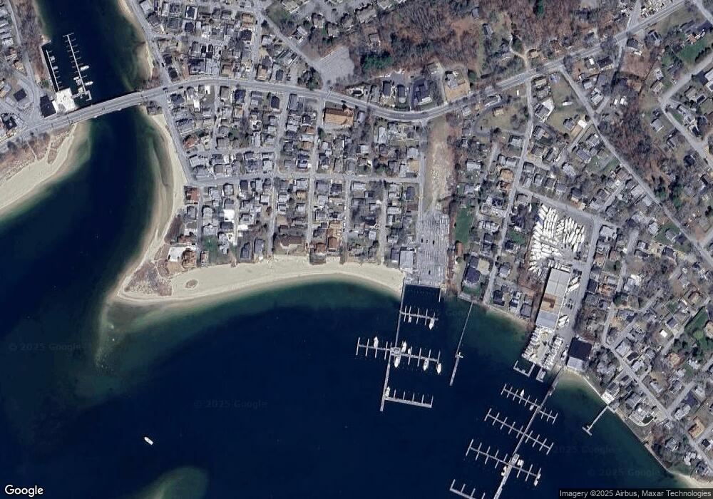
Map
- 22 Maple St
- 147 Onset Ave
- 147 /145 Onset Ave
- 3 Carleton St Unit 3
- 29 Carleton St Unit 29
- 15 Nanumett St
- 32 Carleton St Unit 32
- 7 Grove St
- 3 Short Neck Rd
- 2 Eddy St
- 10 East Blvd
- 10 East Blvd
- 36B Starboard Dr Unit C
- 36B Starboard Dr Unit A
- 36B Starboard Dr Unit B
- 23 Starboard Dr Unit Lot 50
- 5 Upland Rd
- 24 Cove St
- 47 Kins Ct
- 47 Nanumett St
- 7 Clearwater Dr
- 9 Clearwater Dr
- 10 Clearwater Dr
- 4 Captain Collis Dr
- 8 Clearwater Dr
- 23 Hammond St
- 4 Clearwater Dr
- 10 Captain Collis Dr Unit 1
- 7 Captain Collis Dr
- 2 Captain Collis Dr
- 5 Captain Collis Dr
- 3 Captain Collis Dr
- 13 Independence Ln
- 9 Independence Ln
- 14 Clearwater Dr
- 9 Captain Collis Dr
- 14 Onset Bay Ln
- 16 Onset Bay Ln
- 18 Onset Bay Ln
- 12 Onset Bay Ln
Ask me questions while you tour the home.