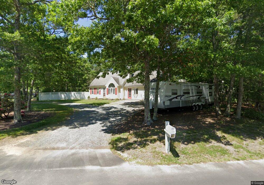
10 Carleton Dr Mashpee, MA 02649
Estimated Value: $738,000 - $772,979
4
Beds
2
Baths
1,500
Sq Ft
$503/Sq Ft
Est. Value
About This Home
This home is located at 10 Carleton Dr, Mashpee, MA 02649 and is currently estimated at $754,495, approximately $502 per square foot. 10 Carleton Dr is a home located in Barnstable County with nearby schools including Kenneth C. Coombs School, Quashnet School, and Mashpee Middle School.
Ownership History
Date
Name
Owned For
Owner Type
Purchase Details
Closed on
Jun 26, 2009
Sold by
Zaniewski Christopher
Bought by
Zaniewski Sandra A
Current Estimated Value
Purchase Details
Closed on
Aug 12, 2004
Sold by
Guillemette Robert P
Bought by
Zaniewski Christopher and Zaniewski Sandra A
Purchase Details
Closed on
Jun 6, 1994
Sold by
Mmm Rt and Dedecko Nancy A
Bought by
Guillemette Robert P
Home Financials for this Owner
Home Financials are based on the most recent Mortgage that was taken out on this home.
Original Mortgage
$50,000
Interest Rate
8.49%
Mortgage Type
Purchase Money Mortgage
Create a Home Valuation Report for This Property
The Home Valuation Report is an in-depth analysis detailing your home's value as well as a comparison with similar homes in the area
Purchase History
| Date | Buyer | Sale Price | Title Company |
|---|---|---|---|
| Zaniewski Sandra A | -- | -- | |
| Zaniewski Christopher | $372,000 | -- | |
| Guillemette Robert P | $94,900 | -- |
Source: Public Records
Mortgage History
| Date | Status | Borrower | Loan Amount |
|---|---|---|---|
| Previous Owner | Guillemette Robert P | $39,000 | |
| Previous Owner | Guillemette Robert P | $50,000 |
Source: Public Records
Tax History
| Year | Tax Paid | Tax Assessment Tax Assessment Total Assessment is a certain percentage of the fair market value that is determined by local assessors to be the total taxable value of land and additions on the property. | Land | Improvement |
|---|---|---|---|---|
| 2025 | $4,385 | $662,400 | $194,700 | $467,700 |
| 2024 | $4,042 | $628,600 | $177,000 | $451,600 |
| 2023 | $3,780 | $539,300 | $168,500 | $370,800 |
| 2022 | $3,600 | $440,600 | $137,000 | $303,600 |
| 2021 | $3,530 | $389,200 | $123,400 | $265,800 |
| 2020 | $3,405 | $374,600 | $118,700 | $255,900 |
| 2019 | $3,251 | $359,200 | $118,700 | $240,500 |
| 2018 | $3,097 | $347,200 | $118,700 | $228,500 |
| 2017 | $2,995 | $325,900 | $118,700 | $207,200 |
| 2016 | $2,900 | $313,800 | $118,700 | $195,100 |
| 2015 | $2,783 | $305,500 | $118,700 | $186,800 |
| 2014 | $2,851 | $303,600 | $117,300 | $186,300 |
Source: Public Records
Map
Nearby Homes
- 10 Butler Ln
- 195 Falmouth Rd Unit 19F
- 195 Falmouth Rd Unit 9F
- 195 Falmouth Rd Unit 9F
- 195 Falmouth Rd Unit 9D
- 195 Falmouth Rd Unit 19F
- 35 Claulise Ln
- 300 Falmouth Rd Unit 6B
- 300 Falmouth Rd Unit 20C
- 300 Falmouth Rd Unit 6B
- 300 Falmouth Rd Unit 21E
- 300 Falmouth Rd Unit 21E
- 300 Falmouth Rd Unit 51
- 300 Falmouth Rd Unit 16A
- 300 Falmouth Rd Unit 16A
- 16 Spring Brook Ln
- 22 Stratford Ridge Unit 22
- 11 Webquish Ln
- 4 Bishops Park
- 114 Orchard Rd
Your Personal Tour Guide
Ask me questions while you tour the home.