10 Chase Pond Ln Wilmot, NH 03287
Estimated Value: $548,366 - $671,000
3
Beds
2
Baths
2,028
Sq Ft
$300/Sq Ft
Est. Value
About This Home
This home is located at 10 Chase Pond Ln, Wilmot, NH 03287 and is currently estimated at $609,092, approximately $300 per square foot. 10 Chase Pond Ln is a home located in Merrimack County with nearby schools including Kearsarge Elementary School - New London, Kearsarge Regional Middle School, and Kearsarge Regional High School.
Ownership History
Date
Name
Owned For
Owner Type
Purchase Details
Closed on
Aug 26, 2011
Sold by
Gooding Douglas R and Gooding Miranda P
Bought by
Mitchell Darcy B
Current Estimated Value
Home Financials for this Owner
Home Financials are based on the most recent Mortgage that was taken out on this home.
Original Mortgage
$223,200
Outstanding Balance
$154,803
Interest Rate
4.53%
Mortgage Type
Purchase Money Mortgage
Estimated Equity
$454,289
Create a Home Valuation Report for This Property
The Home Valuation Report is an in-depth analysis detailing your home's value as well as a comparison with similar homes in the area
Home Values in the Area
Average Home Value in this Area
Purchase History
| Date | Buyer | Sale Price | Title Company |
|---|---|---|---|
| Mitchell Darcy B | $235,000 | -- |
Source: Public Records
Mortgage History
| Date | Status | Borrower | Loan Amount |
|---|---|---|---|
| Open | Mitchell Darcy B | $223,200 |
Source: Public Records
Tax History Compared to Growth
Tax History
| Year | Tax Paid | Tax Assessment Tax Assessment Total Assessment is a certain percentage of the fair market value that is determined by local assessors to be the total taxable value of land and additions on the property. | Land | Improvement |
|---|---|---|---|---|
| 2024 | $7,583 | $296,200 | $0 | $296,200 |
| 2023 | $7,159 | $296,200 | $0 | $296,200 |
| 2022 | $6,315 | $296,200 | $0 | $296,200 |
| 2021 | $6,262 | $296,200 | $0 | $296,200 |
| 2020 | $6,262 | $296,200 | $0 | $296,200 |
| 2019 | $5,990 | $244,600 | $0 | $244,600 |
| 2018 | $5,990 | $244,600 | $0 | $244,600 |
| 2017 | $5,995 | $244,600 | $0 | $244,600 |
| 2016 | $5,936 | $244,400 | $0 | $244,400 |
| 2015 | $5,787 | $244,400 | $0 | $244,400 |
| 2014 | $4,770 | $228,000 | $0 | $228,000 |
| 2013 | $4,844 | $233,000 | $0 | $233,000 |
Source: Public Records
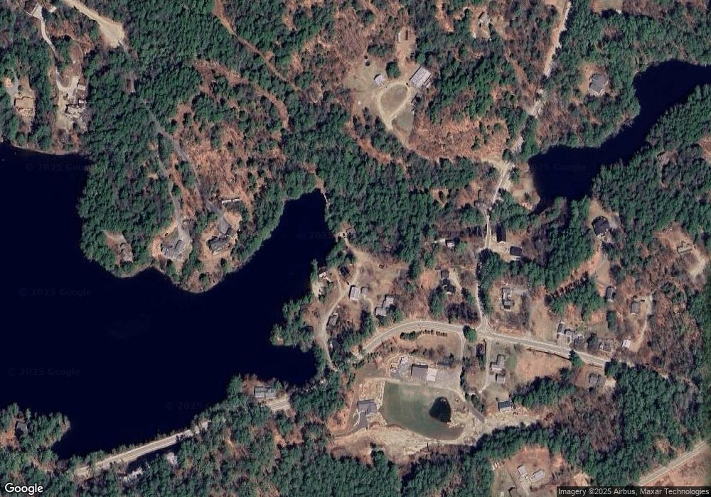
Map
Nearby Homes
- Lot 16 Granite Hill Rd
- 49 Pedrick Rd
- Lot 3 Kimpton Brook Rd
- 133 Nh Route 4a
- 62 Patterson Rd
- 0 Quiet Cove Way Unit 5
- 221 Campground Rd
- 303 Route 4a
- Lot 8 Stone Bridge Rd
- 24 Mountain Overlook
- 658 N Wilmot Rd
- 58 Kearsarge Rd
- 163 Quaker Path Rd
- 000 Shaker Rd Unit 288
- 155 Wilder Ln
- 295 Andover Rd
- 712 Sugarhouse Rd
- 27 Pipers Glen
- 0 Fairway Ln Unit 8
- 18 Cilleyville Rd
- 0 N Wilmot and Tewksbury Unit 4696076
- 10 Chase Pond Ln Unit 6
- 00 Lajoie Rd
- Lot 4 Kimpton Brook Rd
- 67 Grace Rd
- 102 Grace Rd
- NH Route 4a
- 0 Breezy Hill and North Wilmot Rd Unit 4747985
- LOT #5 Grace Rd
- 0 Grace Rd Unit Lot 2 4912796
- 0 N Wilmot Road & Richards Rd Unit 4069461
- 0 Grace Rd Unit 4928297
- 0 Camp Ground Rd Unit 4922925
- Lot 10 4a Route
- M9-L18 Grace Rd Unit Map 9 - Lot 18
- 18-16 Route 4-A
- 124 Grace Rd
- Map 9, Lot 18 Grace Rd
- 240 Us Route 4
- 78 Us Route 4