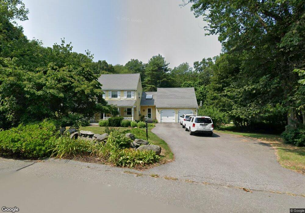
10 Crane Rd Littleton, MA 01460
Estimated Value: $786,095 - $910,000
4
Beds
4
Baths
2,025
Sq Ft
$413/Sq Ft
Est. Value
About This Home
This home is located at 10 Crane Rd, Littleton, MA 01460 and is currently estimated at $836,274, approximately $412 per square foot. 10 Crane Rd is a home located in Middlesex County with nearby schools including Shaker Lane Elementary School, Russell Street Elementary School, and Littleton Middle School.
Ownership History
Date
Name
Owned For
Owner Type
Purchase Details
Closed on
Aug 28, 1998
Sold by
Steele Robert B and Steele Roslyn K
Bought by
Bertolino Vincent and Bertolino Melissa H
Current Estimated Value
Home Financials for this Owner
Home Financials are based on the most recent Mortgage that was taken out on this home.
Original Mortgage
$218,000
Interest Rate
6.9%
Mortgage Type
Purchase Money Mortgage
Create a Home Valuation Report for This Property
The Home Valuation Report is an in-depth analysis detailing your home's value as well as a comparison with similar homes in the area
Purchase History
| Date | Buyer | Sale Price | Title Company |
|---|---|---|---|
| Bertolino Vincent | $272,500 | -- |
Source: Public Records
Mortgage History
| Date | Status | Borrower | Loan Amount |
|---|---|---|---|
| Open | Bertolino Vincent | $175,000 | |
| Closed | Bertolino Vincent | $218,000 | |
| Previous Owner | Bertolino Vincent | $80,000 |
Source: Public Records
Tax History
| Year | Tax Paid | Tax Assessment Tax Assessment Total Assessment is a certain percentage of the fair market value that is determined by local assessors to be the total taxable value of land and additions on the property. | Land | Improvement |
|---|---|---|---|---|
| 2025 | $10,778 | $725,300 | $248,500 | $476,800 |
| 2024 | $10,762 | $725,200 | $248,500 | $476,700 |
| 2023 | $10,293 | $633,400 | $228,900 | $404,500 |
| 2022 | $9,555 | $539,500 | $228,900 | $310,600 |
| 2021 | $8,942 | $505,200 | $220,200 | $285,000 |
| 2020 | $8,570 | $482,300 | $204,900 | $277,400 |
| 2019 | $8,376 | $459,200 | $178,800 | $280,400 |
| 2018 | $8,219 | $453,100 | $176,600 | $276,500 |
| 2017 | $8,224 | $453,100 | $176,600 | $276,500 |
| 2016 | $7,943 | $449,000 | $176,600 | $272,400 |
| 2015 | $7,745 | $427,900 | $152,700 | $275,200 |
Source: Public Records
Map
Nearby Homes
- 14 Leonard Rd
- 36 Leonard Rd
- 959 Hill Rd
- 305 Harwood Ave
- 146 Tahattawan Rd
- 27 Mill Ln
- 4 Littlefield Rd
- 3 Taylor St
- 15 Spencer Rd Unit 12E
- 4 Omega Way
- 60 Nashoba Rd
- 53 Swanson Ct Unit 24C
- 8 Algonquin Rd
- 220 Swanson Rd Unit 605
- 220 Swanson Rd Unit 606
- 220 Swanson Rd Unit 604
- 226 Swanson Rd Unit 617
- 20 Lyons Ln Unit 20
- 17 Hartwell Ave
- 176 Swanson Rd Unit 304
Your Personal Tour Guide
Ask me questions while you tour the home.