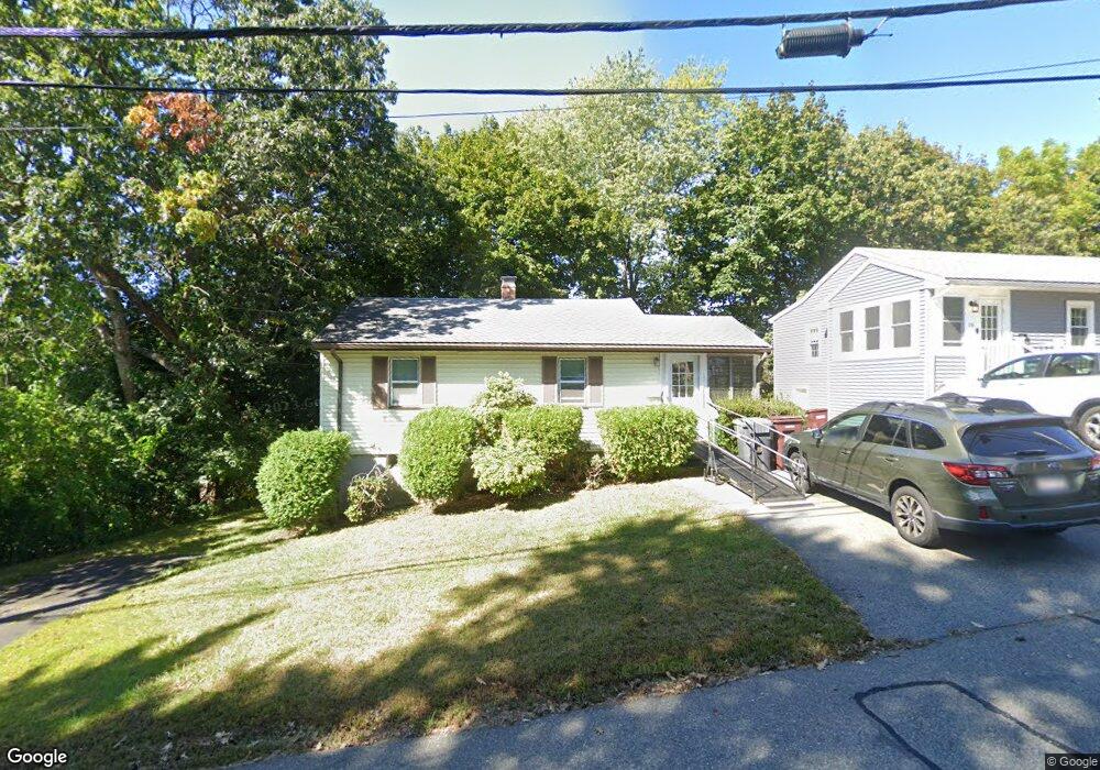
10 Crest Ave Dedham, MA 02026
Riverdale NeighborhoodEstimated Value: $482,000 - $531,404
2
Beds
1
Bath
636
Sq Ft
$799/Sq Ft
Est. Value
About This Home
This home is located at 10 Crest Ave, Dedham, MA 02026 and is currently estimated at $508,101, approximately $798 per square foot. 10 Crest Ave is a home located in Norfolk County with nearby schools including Riverdale Elementary School, Dedham Middle School, and Dedham High School.
Ownership History
Date
Name
Owned For
Owner Type
Purchase Details
Closed on
Oct 26, 2023
Sold by
Bennett Rhonda F
Bought by
Rhobda F Bebbett T F and Rhobda Bennett
Current Estimated Value
Purchase Details
Closed on
Jan 31, 2000
Sold by
Dixon Nancy E
Bought by
Forman Steven B
Home Financials for this Owner
Home Financials are based on the most recent Mortgage that was taken out on this home.
Original Mortgage
$122,500
Interest Rate
7.83%
Mortgage Type
Purchase Money Mortgage
Create a Home Valuation Report for This Property
The Home Valuation Report is an in-depth analysis detailing your home's value as well as a comparison with similar homes in the area
Home Values in the Area
Average Home Value in this Area
Purchase History
| Date | Buyer | Sale Price | Title Company |
|---|---|---|---|
| Rhobda F Bebbett T F | -- | None Available | |
| Bennett Rhonda F | -- | None Available | |
| Forman Steven B | $129,000 | -- |
Source: Public Records
Mortgage History
| Date | Status | Borrower | Loan Amount |
|---|---|---|---|
| Previous Owner | Forman Steven B | $122,500 |
Source: Public Records
Tax History
| Year | Tax Paid | Tax Assessment Tax Assessment Total Assessment is a certain percentage of the fair market value that is determined by local assessors to be the total taxable value of land and additions on the property. | Land | Improvement |
|---|---|---|---|---|
| 2025 | $6,200 | $491,300 | $327,200 | $164,100 |
| 2024 | $5,823 | $465,800 | $296,800 | $169,000 |
| 2023 | $5,466 | $425,700 | $268,800 | $156,900 |
| 2022 | $5,190 | $388,800 | $252,400 | $136,400 |
| 2021 | $4,920 | $359,900 | $233,700 | $126,200 |
| 2020 | $4,888 | $356,300 | $233,600 | $122,700 |
| 2019 | $4,607 | $325,600 | $203,200 | $122,400 |
| 2018 | $4,252 | $292,200 | $179,000 | $113,200 |
| 2017 | $4,148 | $281,000 | $167,800 | $113,200 |
| 2016 | $4,187 | $270,300 | $155,300 | $115,000 |
| 2015 | $3,999 | $252,000 | $150,900 | $101,100 |
| 2014 | $3,838 | $238,700 | $148,100 | $90,600 |
Source: Public Records
Map
Nearby Homes
- 27 Pine St
- 75 Bingham Ave
- 147 Pine St
- 45 Commonwealth Ave
- 570 Bridge St
- 56 Riverview St
- 1515 Vfw Pkwy Unit M19
- 63 Dixon Ave
- 92 Old River Place
- 41 Vogel St
- 47 Bemis Rd
- 47 Village Ave Unit 203
- 8 Sumner St
- 17 Vogel St
- 15 Vogel St
- 55 Church St Unit 1
- 44 Court St
- 46 Church St
- 42 Churchill Place
- 342 Needham St
Your Personal Tour Guide
Ask me questions while you tour the home.