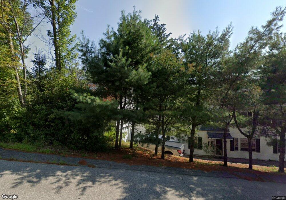
10 Cushing Corner Rd Freedom, NH 03836
Estimated Value: $366,000 - $412,000
4
Beds
2
Baths
2,380
Sq Ft
$164/Sq Ft
Est. Value
About This Home
This home is located at 10 Cushing Corner Rd, Freedom, NH 03836 and is currently estimated at $389,854, approximately $163 per square foot. 10 Cushing Corner Rd is a home with nearby schools including Freedom Elementary School.
Ownership History
Date
Name
Owned For
Owner Type
Purchase Details
Closed on
Feb 2, 2024
Sold by
Sandahi Joshua J and Sandahi Mirada M
Bought by
Sandahi Ft and Sandahi
Current Estimated Value
Purchase Details
Closed on
Jun 1, 2005
Sold by
Gauquier Brian
Bought by
Sandahl Joshua J and Sandahl Miranda M
Home Financials for this Owner
Home Financials are based on the most recent Mortgage that was taken out on this home.
Original Mortgage
$183,310
Interest Rate
5.83%
Mortgage Type
Purchase Money Mortgage
Purchase Details
Closed on
Jun 3, 2004
Sold by
Cate Dorothea W
Bought by
Gauquier Brian E
Home Financials for this Owner
Home Financials are based on the most recent Mortgage that was taken out on this home.
Original Mortgage
$140,000
Interest Rate
5.94%
Mortgage Type
Purchase Money Mortgage
Create a Home Valuation Report for This Property
The Home Valuation Report is an in-depth analysis detailing your home's value as well as a comparison with similar homes in the area
Purchase History
| Date | Buyer | Sale Price | Title Company |
|---|---|---|---|
| Sandahi Ft | -- | None Available | |
| Sandahl Joshua J | $177,000 | -- | |
| Gauquier Brian E | $160,000 | -- |
Source: Public Records
Mortgage History
| Date | Status | Borrower | Loan Amount |
|---|---|---|---|
| Previous Owner | Gauquier Brian E | $210,750 | |
| Previous Owner | Gauquier Brian E | $183,310 | |
| Previous Owner | Gauquier Brian E | $140,000 |
Source: Public Records
Tax History
| Year | Tax Paid | Tax Assessment Tax Assessment Total Assessment is a certain percentage of the fair market value that is determined by local assessors to be the total taxable value of land and additions on the property. | Land | Improvement |
|---|---|---|---|---|
| 2025 | $2,618 | $354,300 | $91,800 | $262,500 |
| 2024 | $2,544 | $354,300 | $91,800 | $262,500 |
| 2023 | $2,563 | $233,400 | $44,400 | $189,000 |
| 2022 | $2,388 | $233,400 | $44,400 | $189,000 |
| 2021 | $2,532 | $233,400 | $44,400 | $189,000 |
| 2020 | $1,798 | $233,400 | $44,400 | $189,000 |
| 2019 | $1,868 | $186,400 | $52,900 | $133,500 |
| 2018 | $1,990 | $186,400 | $52,900 | $133,500 |
| 2016 | $2,349 | $186,400 | $52,900 | $133,500 |
| 2015 | $2,485 | $205,400 | $62,400 | $143,000 |
| 2014 | $2,506 | $205,400 | $62,400 | $143,000 |
| 2013 | $2,539 | $205,400 | $62,400 | $143,000 |
Source: Public Records
Map
Nearby Homes
- 0 Moulton Rd Unit 24-2
- Lot 10 Friedman
- 118 Pound Round Rd
- 118 Round Pond Rd
- 78 School St
- Lot 4 Parsons Rd
- Lot 1 Parsons Rd
- 118 Washington Rd Unit 55
- 29 Milford Ave
- Lot 12 Friedman Ln
- 16 Channel Rd
- 5-11 Friedman Ln
- 164 Leavitt Rd
- 112 N Broadbay Rd
- TBD Towle Hill Rd
- 34 Abenaki Dr
- 00 Pratt Rd
- 2 Quail Rd
- 0 Burnham Rd Unit 35
- 00 Hobbs Rd Unit 65
Your Personal Tour Guide
Ask me questions while you tour the home.