10 David Ln Sandown, NH 03873
Estimated Value: $558,000 - $632,000
3
Beds
3
Baths
1,829
Sq Ft
$322/Sq Ft
Est. Value
About This Home
This home is located at 10 David Ln, Sandown, NH 03873 and is currently estimated at $588,341, approximately $321 per square foot. 10 David Ln is a home located in Rockingham County with nearby schools including Sandown North Elementary School, Timberlane Regional Middle School, and Timberlane Regional High School.
Ownership History
Date
Name
Owned For
Owner Type
Purchase Details
Closed on
Oct 17, 1997
Sold by
D&H Const/Plaistow Inc
Bought by
Gage Richard W and Gage Maureen A
Current Estimated Value
Home Financials for this Owner
Home Financials are based on the most recent Mortgage that was taken out on this home.
Original Mortgage
$117,900
Interest Rate
7.46%
Create a Home Valuation Report for This Property
The Home Valuation Report is an in-depth analysis detailing your home's value as well as a comparison with similar homes in the area
Home Values in the Area
Average Home Value in this Area
Purchase History
| Date | Buyer | Sale Price | Title Company |
|---|---|---|---|
| Gage Richard W | $157,900 | -- |
Source: Public Records
Mortgage History
| Date | Status | Borrower | Loan Amount |
|---|---|---|---|
| Open | Gage Richard W | $100,000 | |
| Closed | Gage Richard W | $60,892 | |
| Closed | Gage Richard W | $117,900 |
Source: Public Records
Tax History Compared to Growth
Tax History
| Year | Tax Paid | Tax Assessment Tax Assessment Total Assessment is a certain percentage of the fair market value that is determined by local assessors to be the total taxable value of land and additions on the property. | Land | Improvement |
|---|---|---|---|---|
| 2024 | $8,784 | $495,700 | $176,100 | $319,600 |
| 2023 | $10,360 | $495,700 | $176,100 | $319,600 |
| 2022 | $8,446 | $297,700 | $109,400 | $188,300 |
| 2021 | $8,627 | $297,700 | $109,400 | $188,300 |
| 2020 | $8,234 | $297,700 | $109,400 | $188,300 |
| 2019 | $8,026 | $297,700 | $109,400 | $188,300 |
| 2018 | $7,901 | $297,700 | $109,400 | $188,300 |
| 2017 | $7,427 | $241,300 | $87,700 | $153,600 |
| 2016 | $7,036 | $241,300 | $87,700 | $153,600 |
| 2015 | $6,468 | $242,800 | $87,700 | $155,100 |
| 2014 | $6,699 | $242,800 | $87,700 | $155,100 |
| 2013 | $6,575 | $242,800 | $87,700 | $155,100 |
Source: Public Records
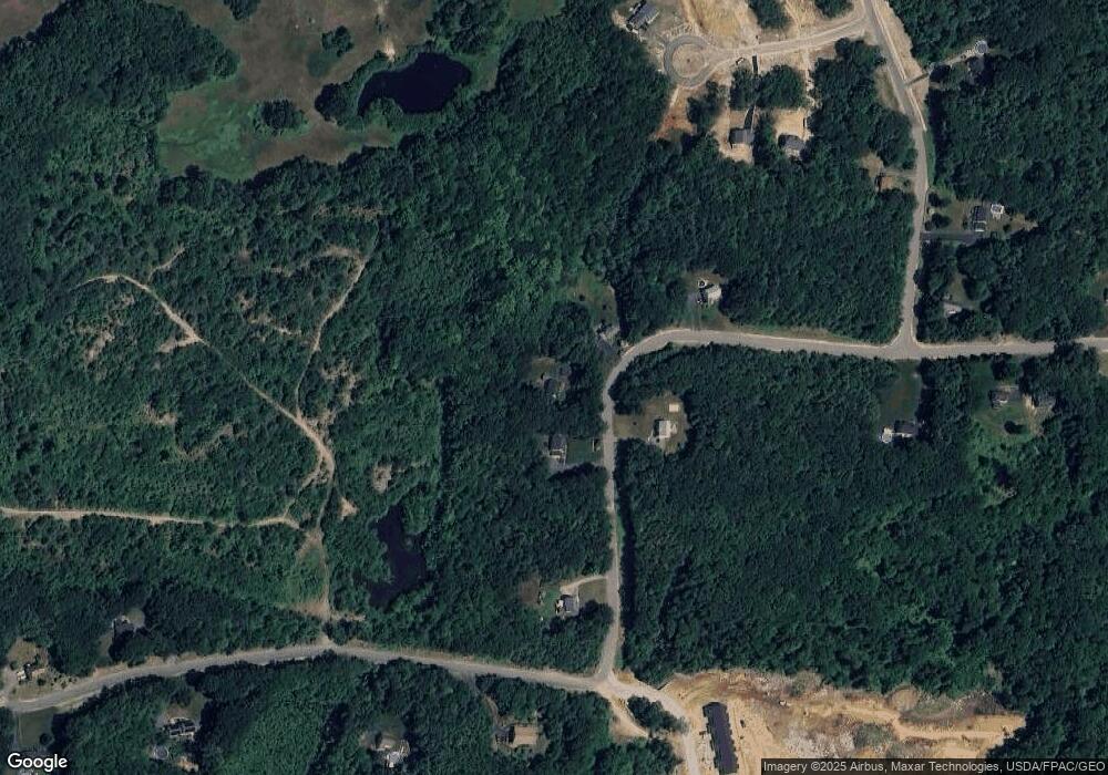
Map
Nearby Homes
- 63 Driftwood Cir Unit 24
- 59 Driftwood Cir Unit 22
- 65 Driftwood Cir Unit 25
- 209 Fremont Rd
- 15 Brightstone Way Unit 14
- 21 Brightstone Way Unit 17
- 70 Sandown Rd
- 61 Sargent Rd
- 16 Currier Ln
- Lot 7-2 Sanborn Meadow Unit 7-2
- Lot 7-0 Sanborn Meadow Unit 7-0
- 19 Diamond Dr
- 54 South Rd
- 18 Diamond Dr
- 118 Hall Rd Unit 3
- 91 Hall Rd
- 31 N Shore Rd
- 78 Back Rd
- 7 Trues Pkwy
- 9 Trues Pkwy
- 8 David Ln
- 14 David Ln
- 9 David Ln
- 20 David Ln
- 2 David Ln
- 21 Ferguson Ln
- 13 David Ln
- 10 Diane Ln
- 19 Ferguson Ln
- 30 David Ln
- 132 Driftwood Cir Unit 45
- 73 Driftwood Cir
- 61 Driftwood Cir Unit 23
- 31 David Ln
- 18 Diane Ln
- 20 Diane Ln
- 22 Diane Ln
- 134 Driftwood Cir Unit 46
- 46 Driftwood Cir
- 46 Driftwood Cir Unit 46