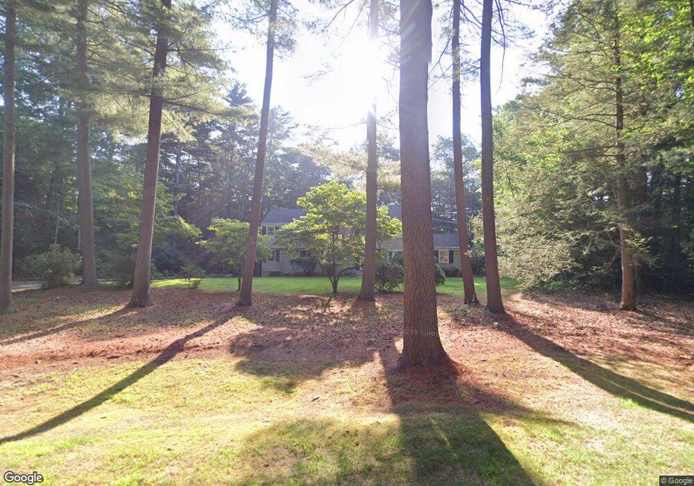
10 Drumlin Rd West Simsbury, CT 06092
Estimated Value: $666,000 - $730,000
5
Beds
3
Baths
2,972
Sq Ft
$234/Sq Ft
Est. Value
About This Home
This home is located at 10 Drumlin Rd, West Simsbury, CT 06092 and is currently estimated at $696,237, approximately $234 per square foot. 10 Drumlin Rd is a home located in Hartford County with nearby schools including Tootin' Hills School, Henry James Memorial School, and Simsbury High School.
Ownership History
Date
Name
Owned For
Owner Type
Purchase Details
Closed on
Mar 12, 2012
Sold by
Marques 3Rd Albert J and Marques Jane O
Bought by
Kerr Raymond S and Kerr Mary J
Current Estimated Value
Home Financials for this Owner
Home Financials are based on the most recent Mortgage that was taken out on this home.
Original Mortgage
$347,500
Outstanding Balance
$240,070
Interest Rate
3.99%
Estimated Equity
$456,167
Purchase Details
Closed on
Jul 1, 2004
Sold by
Palmer Robert K and Palmer Kathleen I
Bought by
Marques 3Rd Albert J and Marques Jane O
Home Financials for this Owner
Home Financials are based on the most recent Mortgage that was taken out on this home.
Original Mortgage
$350,000
Interest Rate
5%
Purchase Details
Closed on
Jul 30, 1996
Sold by
Connole Doris
Bought by
Stanton Duncan
Purchase Details
Closed on
Feb 27, 1987
Sold by
Brink William
Bought by
Palmer Robert
Create a Home Valuation Report for This Property
The Home Valuation Report is an in-depth analysis detailing your home's value as well as a comparison with similar homes in the area
Home Values in the Area
Average Home Value in this Area
Purchase History
| Date | Buyer | Sale Price | Title Company |
|---|---|---|---|
| Kerr Raymond S | $477,500 | -- | |
| Marques 3Rd Albert J | $499,900 | -- | |
| Stanton Duncan | $158,000 | -- | |
| Palmer Robert | $285,000 | -- |
Source: Public Records
Mortgage History
| Date | Status | Borrower | Loan Amount |
|---|---|---|---|
| Open | Palmer Robert | $347,500 | |
| Previous Owner | Palmer Robert | $60,000 | |
| Previous Owner | Palmer Robert | $350,000 |
Source: Public Records
Tax History Compared to Growth
Tax History
| Year | Tax Paid | Tax Assessment Tax Assessment Total Assessment is a certain percentage of the fair market value that is determined by local assessors to be the total taxable value of land and additions on the property. | Land | Improvement |
|---|---|---|---|---|
| 2025 | $11,860 | $347,200 | $98,980 | $248,220 |
| 2024 | $11,565 | $347,200 | $98,980 | $248,220 |
| 2023 | $11,048 | $347,200 | $98,980 | $248,220 |
| 2022 | $10,956 | $283,620 | $105,970 | $177,650 |
| 2021 | $10,956 | $283,620 | $105,970 | $177,650 |
| 2020 | $10,519 | $283,620 | $105,970 | $177,650 |
| 2019 | $10,585 | $283,620 | $105,970 | $177,650 |
| 2018 | $10,661 | $283,620 | $105,970 | $177,650 |
| 2017 | $10,239 | $264,170 | $110,310 | $153,860 |
| 2016 | $9,806 | $264,170 | $110,310 | $153,860 |
| 2015 | $9,806 | $264,170 | $110,310 | $153,860 |
| 2014 | $9,811 | $264,170 | $110,310 | $153,860 |
Source: Public Records
Map
Nearby Homes
- 24 Drumlin Rd
- 395 Bushy Hill Rd
- 370A W Mountain Rd
- 14 Nod Brook Dr
- 1 Alcima Dr
- 8 Crane Place
- 301 Bushy Hill Rd
- 302 Bushy Hill Rd
- 19 Glenbrook Dr
- 51 Pine Glen Rd
- 41 Applegate Ln
- 3 Applegate Ln Unit 3
- 31 Applegate Ln Unit 31
- 49 Applegate Ln Unit 49
- 25 Tall Wood Hollow
- 121 Gracey Rd
- 120 Climax Rd
- 4 Adams Rd
- 41 Secret Lake Rd
- 3 Minister Brook Dr