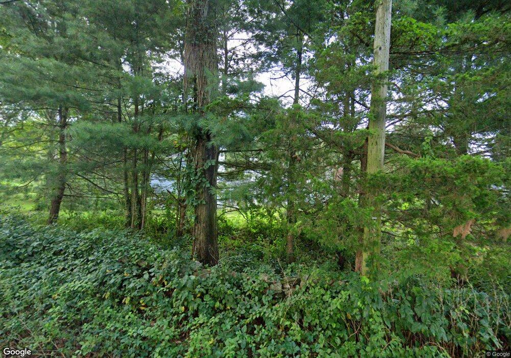
10 Elys Ferry Rd Old Lyme, CT 06371
Estimated Value: $770,000 - $1,769,000
Studio
5
Baths
--
Sq Ft
133,294
Sq Ft
About This Home
This home is located at 10 Elys Ferry Rd, Old Lyme, CT 06371 and is currently estimated at $1,387,208. 10 Elys Ferry Rd is a home located in New London County with nearby schools including Lyme Consolidated School, Lyme-Old Lyme Middle School, and Lyme-Old Lyme High School.
Ownership History
Date
Name
Owned For
Owner Type
Purchase Details
Closed on
Oct 23, 2000
Sold by
Mattson Steven E and Mattson Madeleine H
Bought by
Mooney Kieran G and Mooney Laura
Current Estimated Value
Purchase Details
Closed on
Oct 12, 1994
Sold by
Bacon Louis M
Bought by
Mattson Steven E and Mattson Madelaine H
Purchase Details
Closed on
Jun 17, 1994
Sold by
Harriman Eleanor F and Harriman Alden
Bought by
Bacon Louis M
Purchase Details
Closed on
Apr 12, 1994
Sold by
Est Feeny Willa B and Harriman Elinor F
Bought by
Bacon Louis M
Create a Home Valuation Report for This Property
The Home Valuation Report is an in-depth analysis detailing your home's value as well as a comparison with similar homes in the area
Home Values in the Area
Average Home Value in this Area
Purchase History
| Date | Buyer | Sale Price | Title Company |
|---|---|---|---|
| Mooney Kieran G | $89,500 | -- | |
| Mattson Steven E | $525,000 | -- | |
| Bacon Louis M | $190,000 | -- | |
| Bacon Louis M | $725,000 | -- |
Source: Public Records
Mortgage History
| Date | Status | Borrower | Loan Amount |
|---|---|---|---|
| Open | Bacon Louis M | $250,000 | |
| Closed | Bacon Louis M | $300,000 | |
| Previous Owner | Bacon Louis M | $225,000 |
Source: Public Records
Tax History
| Year | Tax Paid | Tax Assessment Tax Assessment Total Assessment is a certain percentage of the fair market value that is determined by local assessors to be the total taxable value of land and additions on the property. | Land | Improvement |
|---|---|---|---|---|
| 2025 | $12,873 | $887,800 | $252,000 | $635,800 |
| 2024 | $12,873 | $887,800 | $252,000 | $635,800 |
| 2023 | $17,610 | $683,000 | $180,500 | $502,500 |
| 2022 | $13,626 | $683,000 | $180,500 | $502,500 |
| 2021 | $13,626 | $683,000 | $180,500 | $502,500 |
| 2020 | $13,626 | $683,000 | $180,500 | $502,500 |
| 2019 | $13,626 | $683,000 | $180,500 | $502,500 |
| 2018 | $14,143 | $760,400 | $223,300 | $537,100 |
| 2017 | $13,877 | $760,400 | $223,300 | $537,100 |
| 2016 | $13,877 | $760,400 | $223,300 | $537,100 |
| 2015 | $13,497 | $760,400 | $223,300 | $537,100 |
| 2014 | $12,927 | $760,400 | $223,300 | $537,100 |
Source: Public Records
Map
Nearby Homes
- 1 Elys Ferry Rd
- 66 Ely Ferry (Tinker Lane) Rd
- 120 Hamburg Rd
- 108 Hamburg Rd Unit A
- 5 Elys Ferry Rd
- 101 Hamburg Rd
- 21 Elys Ferry Rd
- 3 Park Side Dr
- 00 Park Side Dr
- 5 Park Side Dr
- 27 Elys Ferry Rd
- Lot 4 Park Side Dr
- 144 Bill Hill Rd
- 9 Park Side Dr
- 139 Bill Hill Rd
- 13 Park Side Dr
- 139 Hamburg Rd
- 4 Park Side Dr
- 0 Park Side Dr
Your Personal Tour Guide
Ask me questions while you tour the home.
