10 Emerson Way Franklin, MA 02038
Estimated Value: $460,000 - $482,849
2
Beds
3
Baths
1,645
Sq Ft
$287/Sq Ft
Est. Value
About This Home
This home is located at 10 Emerson Way, Franklin, MA 02038 and is currently estimated at $472,462, approximately $287 per square foot. 10 Emerson Way is a home located in Norfolk County with nearby schools including Oak Street Elementary School, Horace Mann Middle School, and Franklin High School.
Ownership History
Date
Name
Owned For
Owner Type
Purchase Details
Closed on
Aug 31, 2004
Sold by
Nolan John L and Sweet Mary E
Bought by
Iaconis Gina M
Current Estimated Value
Home Financials for this Owner
Home Financials are based on the most recent Mortgage that was taken out on this home.
Original Mortgage
$146,000
Outstanding Balance
$71,982
Interest Rate
6.02%
Mortgage Type
Purchase Money Mortgage
Estimated Equity
$400,480
Purchase Details
Closed on
Sep 19, 1988
Sold by
Hibbert J H
Bought by
Bioty Richard A
Home Financials for this Owner
Home Financials are based on the most recent Mortgage that was taken out on this home.
Original Mortgage
$148,400
Interest Rate
10.43%
Mortgage Type
Purchase Money Mortgage
Create a Home Valuation Report for This Property
The Home Valuation Report is an in-depth analysis detailing your home's value as well as a comparison with similar homes in the area
Home Values in the Area
Average Home Value in this Area
Purchase History
| Date | Buyer | Sale Price | Title Company |
|---|---|---|---|
| Iaconis Gina M | $286,000 | -- | |
| Bioty Richard A | $164,900 | -- |
Source: Public Records
Mortgage History
| Date | Status | Borrower | Loan Amount |
|---|---|---|---|
| Open | Bioty Richard A | $146,000 | |
| Previous Owner | Bioty Richard A | $85,000 | |
| Previous Owner | Bioty Richard A | $148,400 |
Source: Public Records
Tax History Compared to Growth
Tax History
| Year | Tax Paid | Tax Assessment Tax Assessment Total Assessment is a certain percentage of the fair market value that is determined by local assessors to be the total taxable value of land and additions on the property. | Land | Improvement |
|---|---|---|---|---|
| 2025 | $4,905 | $422,100 | $0 | $422,100 |
| 2024 | $4,977 | $422,100 | $0 | $422,100 |
| 2023 | $4,507 | $358,300 | $0 | $358,300 |
| 2022 | $4,596 | $327,100 | $0 | $327,100 |
| 2021 | $4,648 | $317,300 | $0 | $317,300 |
| 2020 | $4,016 | $276,800 | $0 | $276,800 |
| 2019 | $3,737 | $254,900 | $0 | $254,900 |
| 2018 | $3,793 | $258,900 | $0 | $258,900 |
| 2017 | $3,127 | $214,500 | $0 | $214,500 |
| 2016 | $3,235 | $223,100 | $0 | $223,100 |
| 2015 | $3,177 | $214,100 | $0 | $214,100 |
| 2014 | $2,865 | $198,300 | $0 | $198,300 |
Source: Public Records
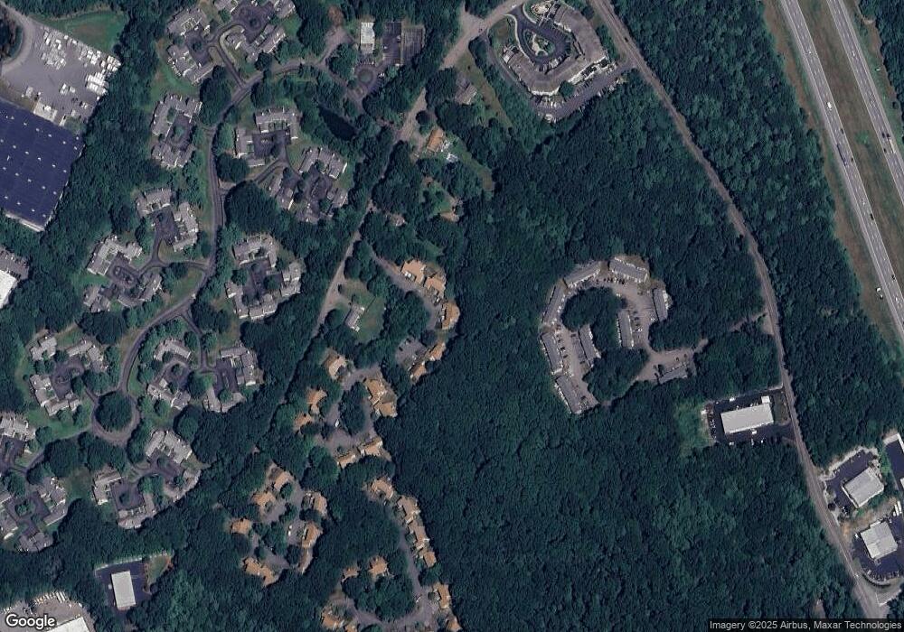
Map
Nearby Homes
- 109 Stone Ridge Rd Unit 109
- 16 Danforth Way
- 33 Stone Ridge Rd Unit 33
- 151 Stone Ridge Rd
- 605 Franklin Crossing Rd
- 1805 Franklin Crossing Rd
- 2211 Franklin Crossing Rd Unit 2211
- 159 Highwood Dr
- 31 Highwood Dr
- 57 Raymond St Unit 2
- 66 Highwood Dr
- 6 Buena Vista Dr
- 97 Fisher St
- 208 Irondequoit Rd
- 1 Joy St
- 120 Union St Unit 1
- 0 Upper Union St Unit 73230551
- 374-378 Union St
- 246 Washington St
- 1 Pond Place
- 12 Emerson Way
- 10 Emerson Way Unit 10,30A
- 12 Emerson Way Unit 30 B
- 8 Emerson Way
- 6 Emerson Way
- 16 Emerson Way
- 16 Emerson Way Unit B,29
- 16 Emerson Way Unit 29B
- 14 Emerson Way
- 4 Emerson Way
- 2 Emerson Way
- 20 Emerson Way
- 18 Emerson Way
- 16 Forge Hill Rd
- 37 Benjamin Landing Ln
- 37 Benjamin Landing Ln Unit 37
- 36 Benjamin Landing Ln
- 35 Benjamin Landing Ln
- 34 Benjamin Landing Ln
- 33 Benjamin Landing Ln