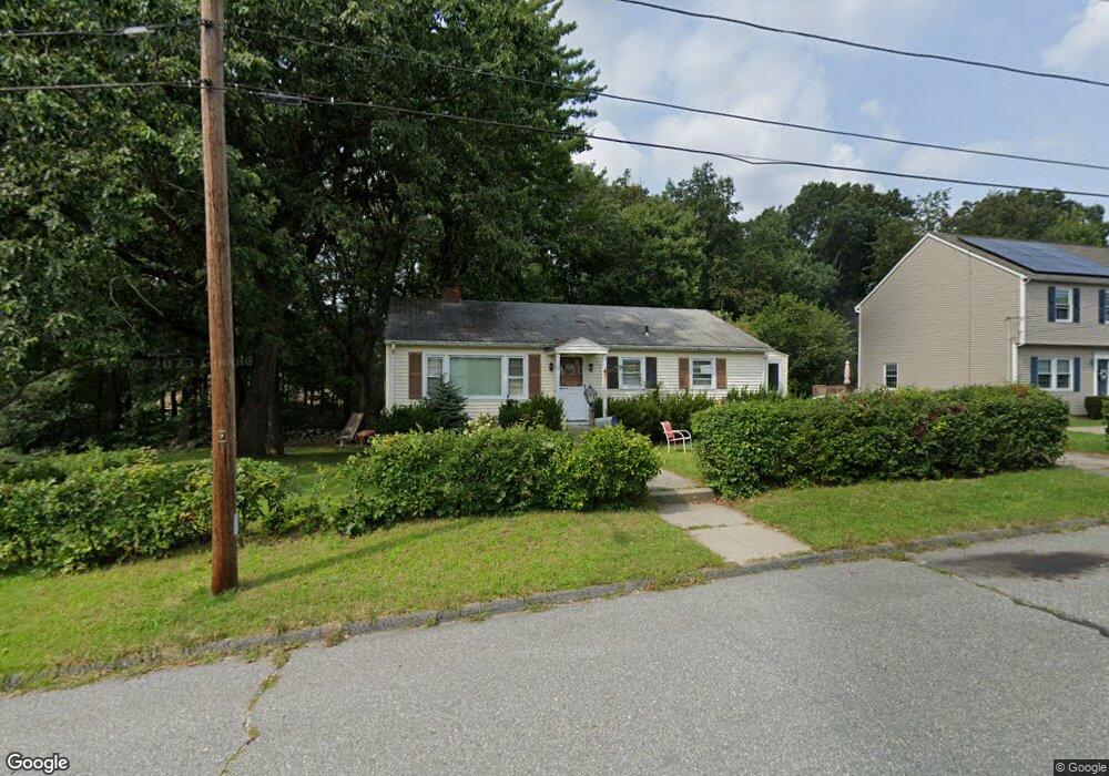
10 Eustis St Worcester, MA 01606
Burncoat NeighborhoodEstimated Value: $425,000 - $448,000
3
Beds
2
Baths
1,120
Sq Ft
$390/Sq Ft
Est. Value
About This Home
This home is located at 10 Eustis St, Worcester, MA 01606 and is currently estimated at $436,450, approximately $389 per square foot. 10 Eustis St is a home located in Worcester County with nearby schools including Norrback Avenue Elementary School, Jacob Hiatt Magnet School, and Chandler Magnet.
Create a Home Valuation Report for This Property
The Home Valuation Report is an in-depth analysis detailing your home's value as well as a comparison with similar homes in the area
Home Values in the Area
Average Home Value in this Area
Tax History Compared to Growth
Tax History
| Year | Tax Paid | Tax Assessment Tax Assessment Total Assessment is a certain percentage of the fair market value that is determined by local assessors to be the total taxable value of land and additions on the property. | Land | Improvement |
|---|---|---|---|---|
| 2025 | $4,813 | $364,900 | $118,800 | $246,100 |
| 2024 | $4,718 | $343,100 | $118,800 | $224,300 |
| 2023 | $4,559 | $317,900 | $103,300 | $214,600 |
| 2022 | $4,043 | $265,800 | $82,700 | $183,100 |
| 2021 | $3,603 | $221,300 | $66,200 | $155,100 |
| 2020 | $3,470 | $204,100 | $66,100 | $138,000 |
| 2019 | $3,263 | $181,300 | $59,600 | $121,700 |
| 2018 | $3,177 | $168,000 | $59,600 | $108,400 |
| 2017 | $3,216 | $167,300 | $59,600 | $107,700 |
| 2016 | $3,112 | $151,000 | $44,000 | $107,000 |
| 2015 | $3,031 | $151,000 | $44,000 | $107,000 |
| 2014 | $2,951 | $151,000 | $44,000 | $107,000 |
Source: Public Records
Map
Nearby Homes
- 740 Burncoat St Unit B
- 10 Beale St
- 1110 W Boylston St Unit A
- 1 Juneberry Ln Unit 82
- 12 Birchbrush Ln
- 32 Whispering Pine Cir Unit 32
- 33 Isleboro St
- 71 Hillside Village Dr
- 156 Hillside Village Dr
- 15 Cumberland St
- 31 Danielles Way
- 22 Danielles Way
- 26 Danielles Way
- 1 Highland Ave
- 9 Idalla Ave
- 87 Malden St
- 49 E Mountain St
- 39 Davidson Rd
- 38 Juniper Ln
- 93 Winfield Rd