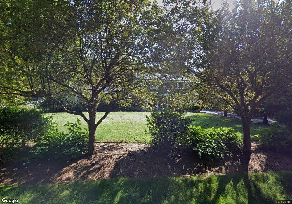
10 Farrell Rd Weston, CT 06883
Estimated Value: $1,586,000 - $2,013,000
6
Beds
5
Baths
3,978
Sq Ft
$455/Sq Ft
Est. Value
About This Home
This home is located at 10 Farrell Rd, Weston, CT 06883 and is currently estimated at $1,811,722, approximately $455 per square foot. 10 Farrell Rd is a home located in Fairfield County with nearby schools including Hurlbutt Elementary School, Weston Intermediate School, and Weston Middle School.
Ownership History
Date
Name
Owned For
Owner Type
Purchase Details
Closed on
Jan 12, 2021
Sold by
Hoffman Thomas G and Hoffman J M
Bought by
Hoffman Thomas G and Hoffman Janet M
Current Estimated Value
Home Financials for this Owner
Home Financials are based on the most recent Mortgage that was taken out on this home.
Original Mortgage
$518,500
Outstanding Balance
$378,796
Interest Rate
2.67%
Mortgage Type
Balloon
Estimated Equity
$1,432,926
Purchase Details
Closed on
Jun 27, 1991
Sold by
Guzzetti Lisa
Bought by
Hoffman Thomas and Mcmanemin Janet
Home Financials for this Owner
Home Financials are based on the most recent Mortgage that was taken out on this home.
Original Mortgage
$188,500
Interest Rate
9.44%
Mortgage Type
Unknown
Create a Home Valuation Report for This Property
The Home Valuation Report is an in-depth analysis detailing your home's value as well as a comparison with similar homes in the area
Home Values in the Area
Average Home Value in this Area
Purchase History
| Date | Buyer | Sale Price | Title Company |
|---|---|---|---|
| Hoffman Thomas G | -- | None Available | |
| Hoffman Thomas | $268,500 | -- |
Source: Public Records
Mortgage History
| Date | Status | Borrower | Loan Amount |
|---|---|---|---|
| Open | Hoffman Thomas G | $518,500 | |
| Previous Owner | Hoffman Thomas | $320,000 | |
| Previous Owner | Hoffman Thomas | $227,000 | |
| Previous Owner | Hoffman Thomas | $188,500 |
Source: Public Records
Tax History Compared to Growth
Tax History
| Year | Tax Paid | Tax Assessment Tax Assessment Total Assessment is a certain percentage of the fair market value that is determined by local assessors to be the total taxable value of land and additions on the property. | Land | Improvement |
|---|---|---|---|---|
| 2025 | $20,191 | $844,830 | $193,480 | $651,350 |
| 2024 | $19,828 | $844,830 | $193,480 | $651,350 |
| 2023 | $18,785 | $568,200 | $193,480 | $374,720 |
| 2022 | $18,734 | $568,200 | $193,480 | $374,720 |
| 2021 | $18,705 | $568,200 | $193,480 | $374,720 |
| 2020 | $18,393 | $568,200 | $193,480 | $374,720 |
| 2019 | $18,393 | $568,200 | $193,480 | $374,720 |
| 2018 | $18,692 | $636,000 | $214,500 | $421,500 |
| 2017 | $18,387 | $636,000 | $214,500 | $421,500 |
| 2016 | $18,164 | $636,000 | $214,500 | $421,500 |
| 2015 | $18,291 | $636,000 | $214,500 | $421,500 |
| 2014 | $17,961 | $636,000 | $214,500 | $421,500 |
Source: Public Records
Map
Nearby Homes
- 214 Good Hill Rd
- 225 Good Hill Rd
- 29 Salem Rd
- 8 Hedgerow Common
- 81 Norfield Rd
- 24 Nordholm Dr
- 260 Lyons Plain Rd
- 262 Lyons Plain Rd
- 76 Lords Hwy
- 145 Lyons Plain Rd
- 136 Lyons Plain Rd
- 193 Newtown Turnpike
- 32 Kettle Creek Rd
- 27 Rogues Ridge
- 5 Walker Ln
- 4 Colony Rd
- 18 Cardinal Rd
- 31 White Birch Rd
- 0 Old Easton Turnpike
- 191 Steep Hill Rd
- 12 Farrell Rd
- 7 Farrell Rd
- 11 Farrell Rd
- 39 Steep Hill Rd
- 15 Farrell Rd
- 49 Steep Hill Rd
- 16 Farrell Rd
- 14 Farrell Rd
- 230 Good Hill Rd
- 47 Steep Hill Rd
- 42 Steep Hill Rd
- 38 Steep Hill Rd
- 24 Farrell Rd
- 35 Steep Hill Rd
- 23 Farrell Rd
- 33 Steep Hill Rd
- 31 Steep Hill Rd
- 17 Steep Hill Rd
- 55 Steep Hill Rd
- 234 Good Hill Rd