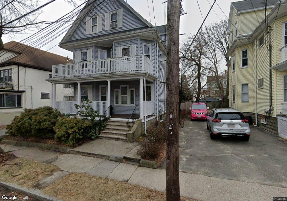
10 Freeman St Arlington, MA 02474
East Arlington NeighborhoodEstimated Value: $1,400,000 - $1,716,531
5
Beds
4
Baths
2,960
Sq Ft
$506/Sq Ft
Est. Value
About This Home
This home is located at 10 Freeman St, Arlington, MA 02474 and is currently estimated at $1,497,133, approximately $505 per square foot. 10 Freeman St is a home located in Middlesex County with nearby schools including Hardy Elementary School, Ottoson Middle School, and Arlington High School.
Ownership History
Date
Name
Owned For
Owner Type
Purchase Details
Closed on
Apr 30, 2004
Sold by
Reidy Frances C and Bourque Joanne M
Bought by
De-Carvalho Cristiana N and Wang Clarence J
Current Estimated Value
Home Financials for this Owner
Home Financials are based on the most recent Mortgage that was taken out on this home.
Original Mortgage
$427,150
Outstanding Balance
$198,298
Interest Rate
5.36%
Mortgage Type
Purchase Money Mortgage
Estimated Equity
$1,298,835
Create a Home Valuation Report for This Property
The Home Valuation Report is an in-depth analysis detailing your home's value as well as a comparison with similar homes in the area
Home Values in the Area
Average Home Value in this Area
Purchase History
| Date | Buyer | Sale Price | Title Company |
|---|---|---|---|
| De-Carvalho Cristiana N | $660,000 | -- |
Source: Public Records
Mortgage History
| Date | Status | Borrower | Loan Amount |
|---|---|---|---|
| Open | De-Carvalho Cristiana N | $427,150 |
Source: Public Records
Tax History Compared to Growth
Tax History
| Year | Tax Paid | Tax Assessment Tax Assessment Total Assessment is a certain percentage of the fair market value that is determined by local assessors to be the total taxable value of land and additions on the property. | Land | Improvement |
|---|---|---|---|---|
| 2025 | $15,322 | $1,422,700 | $592,800 | $829,900 |
| 2024 | $13,961 | $1,318,300 | $564,300 | $754,000 |
| 2023 | $14,307 | $1,276,300 | $473,100 | $803,200 |
| 2022 | $14,301 | $1,252,300 | $456,000 | $796,300 |
| 2021 | $13,813 | $1,218,100 | $456,000 | $762,100 |
| 2020 | $13,474 | $1,218,300 | $456,000 | $762,300 |
| 2019 | $11,886 | $1,055,600 | $484,500 | $571,100 |
| 2018 | $11,214 | $924,500 | $353,400 | $571,100 |
| 2017 | $10,623 | $845,800 | $307,800 | $538,000 |
| 2016 | $10,243 | $800,200 | $262,200 | $538,000 |
| 2015 | $9,921 | $732,200 | $256,500 | $475,700 |
Source: Public Records
Map
Nearby Homes
- 230 Massachusetts Ave Unit 6
- 215 Massachusetts Ave Unit 19 (34)
- 22 Hamilton Rd Unit 206
- 35 Windsor St Unit 1
- 18 Belknap St Unit 2
- 18 Belknap St Unit 1
- 25-27 Adams St
- 128 Thorndike St Unit 2
- 137-139 Thorndike St Unit 2
- 31 Mott St Unit 31A
- 42-44 Warren St Unit 42
- 3 Seagrave Rd
- 41 Palmer St Unit 43
- 77 Warren St Unit A
- 57 Garrison Ave
- 27 Dartmouth St Unit 29
- 23 Yale Rd
- 94 Rawson Rd Unit 94
- 23 Brookford St
- 23 Brookford St Unit 2
- 18 Freeman St
- 25 Lake St
- 20 Freeman St
- 20 Freeman St Unit 1
- 20 Freeman St Unit 2
- 7 Randolph St
- 7 Randolph St Unit 1
- 27 Lake St Unit 2
- 27 Lake St Unit 29
- 27-29 Lake St
- 27 Lake St
- 9 Randolph St Unit 11
- 22 Freeman St
- 9 Freeman St
- 57 Freeman St
- 5 Freeman St
- 5 Freeman St Unit 1
- 5 Freeman St Unit 7
- 9-11 Randolph St Unit 9
- 9-11 Randolph St Unit PH