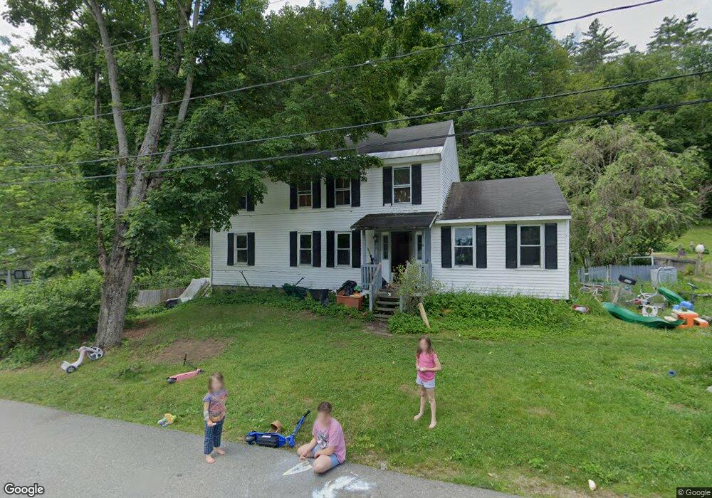
10 High St Gilsum, NH 03448
Estimated Value: $290,000 - $337,000
4
Beds
2
Baths
2,507
Sq Ft
$124/Sq Ft
Est. Value
About This Home
This home is located at 10 High St, Gilsum, NH 03448 and is currently estimated at $310,959, approximately $124 per square foot. 10 High St is a home with nearby schools including Gilsum STEAM Academy and Leaf Charter School.
Create a Home Valuation Report for This Property
The Home Valuation Report is an in-depth analysis detailing your home's value as well as a comparison with similar homes in the area
Home Values in the Area
Average Home Value in this Area
Tax History Compared to Growth
Tax History
| Year | Tax Paid | Tax Assessment Tax Assessment Total Assessment is a certain percentage of the fair market value that is determined by local assessors to be the total taxable value of land and additions on the property. | Land | Improvement |
|---|---|---|---|---|
| 2024 | $4,496 | $309,200 | $82,700 | $226,500 |
| 2023 | $3,754 | $144,200 | $39,000 | $105,200 |
| 2022 | $3,399 | $144,200 | $39,000 | $105,200 |
| 2021 | $3,345 | $144,200 | $39,000 | $105,200 |
| 2020 | $3,713 | $144,200 | $39,000 | $105,200 |
| 2019 | $4,101 | $146,400 | $39,000 | $107,400 |
| 2018 | $4,722 | $151,400 | $27,900 | $123,500 |
| 2017 | $3,908 | $151,400 | $27,900 | $123,500 |
| 2016 | $3,481 | $151,400 | $27,900 | $123,500 |
| 2015 | $4,034 | $151,200 | $27,900 | $123,300 |
| 2014 | $4,456 | $151,200 | $27,900 | $123,300 |
| 2013 | $3,984 | $147,900 | $37,300 | $110,600 |
Source: Public Records
Map
Nearby Homes
- 29&31 White Brook Rd
- 16 Nash Corner Rd
- 101 Gilsum Rd
- 225B Belvedere Rd Unit B
- Lot 4 Belvedere Rd
- 28 Village Rd
- 603 Route 12a
- 24 Village Rd
- Lot 53 Apple Hill Rd
- 24 White Brook Dr
- 105 South Rd
- 000 Old Gilsum Rd Unit 3
- 32 Blueberry Hill Ln
- 27 Shadowland Rd
- 258 Valley Rd
- 96 Maclean Rd
- 33 Maclean Rd
- 00 Alstead Center Rd
- 0 Old Gilsum Rd Unit 5034729
- 0 Old Walpole Rd Unit 1