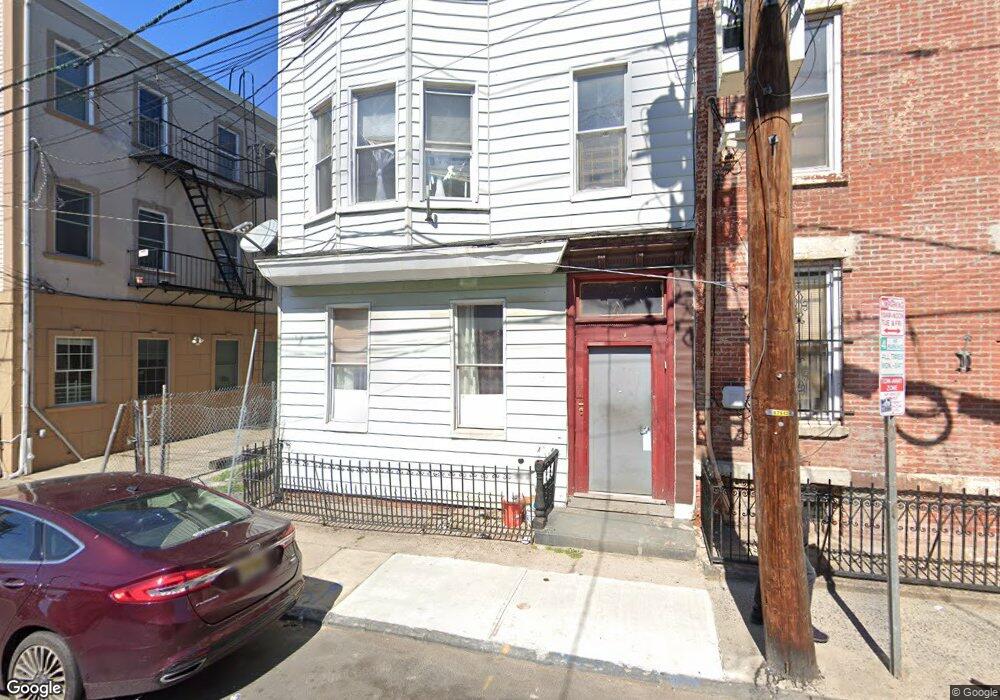
10 Hutton St Jersey City, NJ 07307
The Heights NeighborhoodEstimated Value: $935,000 - $1,247,000
--
Bed
--
Bath
2,936
Sq Ft
$363/Sq Ft
Est. Value
About This Home
This home is located at 10 Hutton St, Jersey City, NJ 07307 and is currently estimated at $1,066,667, approximately $363 per square foot. 10 Hutton St is a home located in Hudson County with nearby schools including Charles E. Trefurt School, William L. Dickinson High School, and Dr Ronald McNair High School.
Ownership History
Date
Name
Owned For
Owner Type
Purchase Details
Closed on
Jul 8, 1994
Sold by
Hojnowski Stanley
Bought by
Mathieu Pierre and Mthieu Marie
Current Estimated Value
Home Financials for this Owner
Home Financials are based on the most recent Mortgage that was taken out on this home.
Original Mortgage
$54,000
Interest Rate
8.19%
Create a Home Valuation Report for This Property
The Home Valuation Report is an in-depth analysis detailing your home's value as well as a comparison with similar homes in the area
Home Values in the Area
Average Home Value in this Area
Purchase History
| Date | Buyer | Sale Price | Title Company |
|---|---|---|---|
| Mathieu Pierre | $68,000 | -- |
Source: Public Records
Mortgage History
| Date | Status | Borrower | Loan Amount |
|---|---|---|---|
| Closed | Mathieu Pierre | $54,000 |
Source: Public Records
Tax History Compared to Growth
Tax History
| Year | Tax Paid | Tax Assessment Tax Assessment Total Assessment is a certain percentage of the fair market value that is determined by local assessors to be the total taxable value of land and additions on the property. | Land | Improvement |
|---|---|---|---|---|
| 2025 | $12,813 | $573,800 | $219,800 | $354,000 |
| 2024 | $12,893 | $573,800 | $219,800 | $354,000 |
| 2023 | $12,893 | $573,800 | $219,800 | $354,000 |
| 2022 | $12,153 | $573,800 | $219,800 | $354,000 |
| 2021 | $9,204 | $573,800 | $219,800 | $354,000 |
| 2020 | $9,238 | $573,800 | $219,800 | $354,000 |
| 2019 | $8,837 | $573,800 | $219,800 | $354,000 |
| 2018 | $1,147 | $573,800 | $219,800 | $354,000 |
| 2017 | $6,014 | $77,100 | $25,800 | $51,300 |
| 2016 | $5,937 | $77,100 | $25,800 | $51,300 |
| 2015 | $5,769 | $77,100 | $25,800 | $51,300 |
| 2014 | $5,732 | $77,100 | $25,800 | $51,300 |
Source: Public Records
Map
Nearby Homes
- 419 Palisade Ave Unit 2
- 391 Palisade Ave Unit 202
- 126 Webster Ave Unit 1G
- 245 Ogden Ave Unit 2
- 151 Webster Ave Unit 101
- 172 New York Ave Unit 1L
- 123 Webster Ave
- 274 Ogden Ave Unit 9
- 66 Sherman Ave
- 372 Palisade Ave
- 161 New York Ave
- 161 New York Ave Unit 3
- 161 New York Ave Unit 2
- 161 New York Ave Unit 1
- 84 Griffith St
- 368 Palisade Ave
- 100 Webster Ave Unit 2
- 100 Webster Ave Unit 1
- 181 Webster Ave
- 214 Ogden Ave
- 8 Hutton St
- 200 New York Ave
- 198 New York Ave
- 198 New York Ave
- 198 New York Ave
- 198 New York Ave
- 198 New York Ave
- 198 New York Ave Unit 1
- 198 New York Ave Unit 2L
- 198 New York Ave Unit 3R
- 198 New York Ave Unit 3L
- 202 New York Ave
- 202 New York Ave Unit 1
- 202 New York Ave Unit 2
- 409 Palisade Ave Unit 1
- 409 Palisade Ave Unit 4
- 409 Palisade Ave
- 409 Palisade Ave Unit 6
- 204 New York Ave
- 204 New York Ave Unit 3