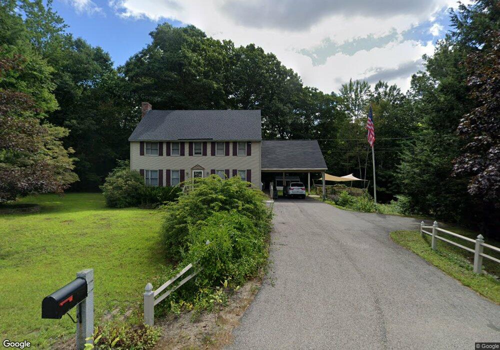
10 Ironwood Dr Epping, NH 03042
Estimated Value: $568,000 - $636,000
3
Beds
2
Baths
1,872
Sq Ft
$325/Sq Ft
Est. Value
About This Home
This home is located at 10 Ironwood Dr, Epping, NH 03042 and is currently estimated at $608,229, approximately $324 per square foot. 10 Ironwood Dr is a home located in Rockingham County with nearby schools including Epping Elementary School, Epping Middle School, and Epping High School.
Ownership History
Date
Name
Owned For
Owner Type
Purchase Details
Closed on
Jan 14, 2021
Sold by
Markowski Philip J
Bought by
Markowski Philip J
Current Estimated Value
Create a Home Valuation Report for This Property
The Home Valuation Report is an in-depth analysis detailing your home's value as well as a comparison with similar homes in the area
Home Values in the Area
Average Home Value in this Area
Purchase History
| Date | Buyer | Sale Price | Title Company |
|---|---|---|---|
| Markowski Philip J | -- | None Available |
Source: Public Records
Tax History
| Year | Tax Paid | Tax Assessment Tax Assessment Total Assessment is a certain percentage of the fair market value that is determined by local assessors to be the total taxable value of land and additions on the property. | Land | Improvement |
|---|---|---|---|---|
| 2024 | $8,457 | $335,200 | $123,900 | $211,300 |
| 2023 | $7,844 | $335,200 | $123,900 | $211,300 |
| 2022 | $7,539 | $335,200 | $123,900 | $211,300 |
| 2021 | $7,410 | $330,500 | $123,900 | $206,600 |
| 2020 | $6,859 | $330,500 | $123,900 | $206,600 |
| 2019 | $7,266 | $262,300 | $110,100 | $152,200 |
| 2018 | $3,362 | $262,300 | $110,100 | $152,200 |
| 2017 | $3,088 | $262,300 | $110,100 | $152,200 |
| 2016 | $6,804 | $262,300 | $110,100 | $152,200 |
| 2015 | $6,804 | $262,300 | $110,100 | $152,200 |
| 2014 | $6,283 | $257,300 | $110,100 | $147,200 |
| 2013 | $6,245 | $257,300 | $110,100 | $147,200 |
Source: Public Records
Map
Nearby Homes
- 104 Olde Bridge Ln
- 16 Molly Way
- 1 Olde Bridge Ln
- 27 Old State Rd
- 8 Megans Way Unit 95
- lot 103 Megans Way Unit 103
- 101 Megans Way Unit 101
- 96 Megans Way
- 97 Megans Way Unit 97
- 11 Gable Dr
- 3B Connor Ct Unit 3B
- 55 Sunset Ridge Rd Unit 55A
- 55 Sunset Ridge Rd Unit 55B
- 54 Sunset Ridge Rd Unit 54B
- 3A Connor Ct Unit 3A
- 1A Connor Ct Unit 1A
- 9A Connor Ct Unit 9A
- 1B Connor Ct Unit 1B
- 65 Sunset Ridge Rd Unit 65A
- 65 Sunset Ridge Rd Unit 65B
- 6 Ironwood Dr
- 9 Ironwood Dr
- 17 Ironwood Dr
- 274 Prescott Rd
- 286 Prescott Rd
- 270 Prescott Rd
- 14 Ironwood Dr
- 285 Prescott Rd
- 18 Ironwood Dr
- 268 Prescott Rd
- 292 Prescott Rd
- 269 Prescott Rd
- 25 Ironwood Dr
- 14 Rosewood Ct
- 296 Prescott Rd
- 21 Ironwood Dr
- 14 Debbi Ln
- 14 Debbi Ln Unit 34
- 295 Prescott Rd
- 65 Olde Bridge Ln
Your Personal Tour Guide
Ask me questions while you tour the home.