10 Karen Rd Dunbarton, NH 03046
Estimated Value: $306,000 - $390,000
2
Beds
1
Bath
940
Sq Ft
$356/Sq Ft
Est. Value
About This Home
This home is located at 10 Karen Rd, Dunbarton, NH 03046 and is currently estimated at $334,758, approximately $356 per square foot. 10 Karen Rd is a home located in Merrimack County with nearby schools including Dunbarton Elementary School, Bow Memorial School, and Bow High School.
Ownership History
Date
Name
Owned For
Owner Type
Purchase Details
Closed on
Mar 26, 2021
Sold by
Marquis Joseph and Marquis Karyn
Bought by
Marquis Ft 2021
Current Estimated Value
Purchase Details
Closed on
Oct 1, 2015
Sold by
Marquis Karyn A
Bought by
Marquis Joseph and Marquis Karyn A
Home Financials for this Owner
Home Financials are based on the most recent Mortgage that was taken out on this home.
Original Mortgage
$120,871
Interest Rate
3.95%
Mortgage Type
FHA
Purchase Details
Closed on
Oct 9, 2008
Sold by
Bank Of New York
Bought by
Merritt Karyn A
Home Financials for this Owner
Home Financials are based on the most recent Mortgage that was taken out on this home.
Original Mortgage
$131,625
Interest Rate
6.43%
Mortgage Type
Purchase Money Mortgage
Purchase Details
Closed on
Jul 3, 2008
Sold by
Santana Jaimy
Bought by
Bank Of New York
Purchase Details
Closed on
Aug 18, 2005
Sold by
Peter T Pacik T
Bought by
Santana Jason O and Santana Jaimy A
Home Financials for this Owner
Home Financials are based on the most recent Mortgage that was taken out on this home.
Original Mortgage
$197,000
Interest Rate
7%
Mortgage Type
Adjustable Rate Mortgage/ARM
Purchase Details
Closed on
Oct 1, 1998
Sold by
Maynard Jeanne T
Bought by
Pacik Md Peter T
Home Financials for this Owner
Home Financials are based on the most recent Mortgage that was taken out on this home.
Original Mortgage
$65,200
Interest Rate
6.89%
Create a Home Valuation Report for This Property
The Home Valuation Report is an in-depth analysis detailing your home's value as well as a comparison with similar homes in the area
Home Values in the Area
Average Home Value in this Area
Purchase History
| Date | Buyer | Sale Price | Title Company |
|---|---|---|---|
| Marquis Ft 2021 | -- | None Available | |
| Marquis Joseph | -- | -- | |
| Merritt Karyn A | $117,700 | -- | |
| Bank Of New York | $114,800 | -- | |
| Santana Jason O | $197,000 | -- | |
| Santana Jaimy | $197,000 | -- | |
| Pacik Md Peter T | $81,500 | -- |
Source: Public Records
Mortgage History
| Date | Status | Borrower | Loan Amount |
|---|---|---|---|
| Previous Owner | Marquis Joseph | $120,871 | |
| Previous Owner | Pacik Md Peter T | $131,625 | |
| Previous Owner | Santana Jaimy | $197,000 | |
| Previous Owner | Pacik Md Peter T | $65,200 |
Source: Public Records
Tax History Compared to Growth
Tax History
| Year | Tax Paid | Tax Assessment Tax Assessment Total Assessment is a certain percentage of the fair market value that is determined by local assessors to be the total taxable value of land and additions on the property. | Land | Improvement |
|---|---|---|---|---|
| 2024 | $4,445 | $168,500 | $80,900 | $87,600 |
| 2023 | $4,309 | $168,500 | $80,900 | $87,600 |
| 2022 | $3,872 | $168,500 | $80,900 | $87,600 |
| 2021 | $3,945 | $168,500 | $80,900 | $87,600 |
| 2020 | $3,754 | $168,500 | $80,900 | $87,600 |
| 2018 | $2,568 | $114,000 | $53,200 | $60,800 |
| 2017 | $2,920 | $114,000 | $53,200 | $60,800 |
| 2016 | $2,734 | $114,000 | $53,200 | $60,800 |
| 2015 | $2,689 | $114,000 | $53,200 | $60,800 |
| 2014 | $2,296 | $108,600 | $45,900 | $62,700 |
| 2013 | $2,282 | $108,600 | $45,900 | $62,700 |
Source: Public Records
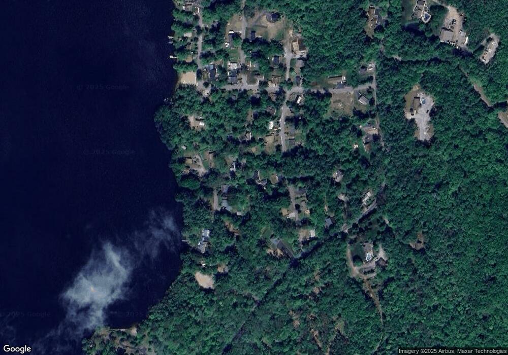
Map
Nearby Homes
- 3 Stephanie Rd
- 22 Fairway Dr
- 0 Fairway Dr Unit 11
- 15 Robert Rogers Rd
- 1003 School St
- 78 Rangeway Rd
- 88 Saunders Rd
- 174 S Stark Hwy Unit 13
- 174 S Stark Hwy Unit 1
- 174 S Stark Hwy Unit 23
- 849 River Rd
- 0 Huntington Hill Rd Unit 69
- 93 Daniels Rd
- 602 Black Brook Rd
- 77 Gould Rd
- 103 Renshaw Rd
- 624 S Stark Hwy
- 45 Range Rd
- 16 Palmer Rd
- 99 Elm St