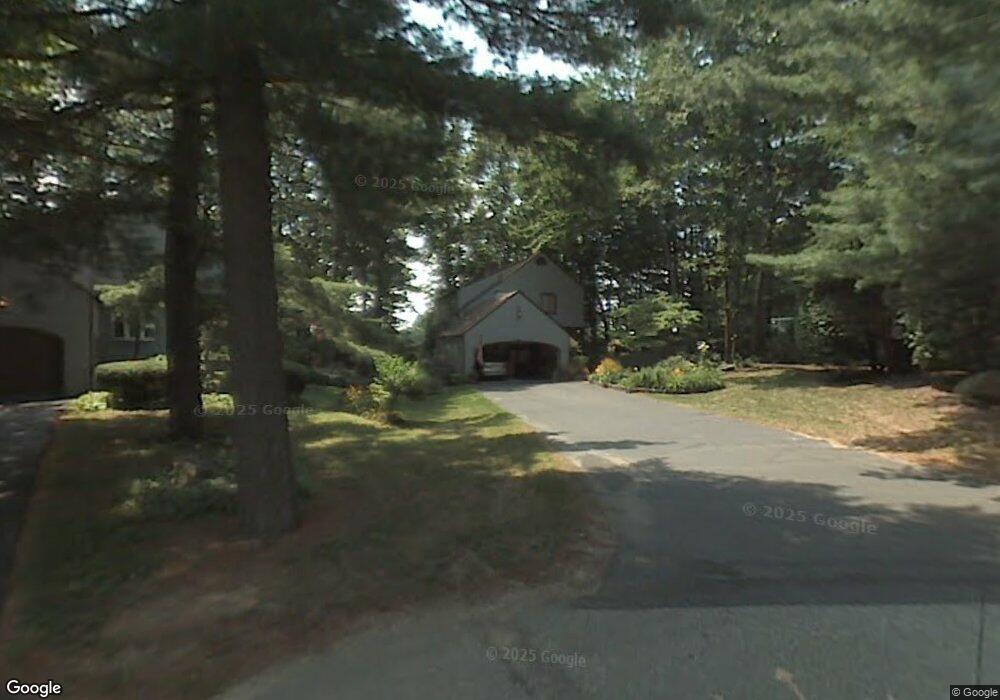
10 Kipford Way Unit U46 Nashua, NH 03063
Northwest Nashua NeighborhoodEstimated Value: $412,000 - $498,000
2
Beds
2
Baths
1,680
Sq Ft
$268/Sq Ft
Est. Value
About This Home
This home is located at 10 Kipford Way Unit U46, Nashua, NH 03063 and is currently estimated at $450,744, approximately $268 per square foot. 10 Kipford Way Unit U46 is a home located in Hillsborough County with nearby schools including Broad Street Elementary School, Pennichuck Middle School, and Nashua High School North.
Ownership History
Date
Name
Owned For
Owner Type
Purchase Details
Closed on
Jul 20, 2017
Sold by
Phillips William K and Phillips B O
Bought by
Barbara O Phillips Ret
Current Estimated Value
Purchase Details
Closed on
Sep 10, 2015
Sold by
Phillips Barbara O
Bought by
Phillips William K and Phillips O Phillips B
Purchase Details
Closed on
Apr 1, 1988
Bought by
W K & B O Phillips Ret
Create a Home Valuation Report for This Property
The Home Valuation Report is an in-depth analysis detailing your home's value as well as a comparison with similar homes in the area
Home Values in the Area
Average Home Value in this Area
Purchase History
| Date | Buyer | Sale Price | Title Company |
|---|---|---|---|
| Barbara O Phillips Ret | -- | -- | |
| Phillips William K | -- | -- | |
| W K & B O Phillips Ret | -- | -- |
Source: Public Records
Tax History Compared to Growth
Tax History
| Year | Tax Paid | Tax Assessment Tax Assessment Total Assessment is a certain percentage of the fair market value that is determined by local assessors to be the total taxable value of land and additions on the property. | Land | Improvement |
|---|---|---|---|---|
| 2024 | $8,448 | $531,300 | $0 | $531,300 |
| 2023 | $7,268 | $398,700 | $0 | $398,700 |
| 2022 | $7,205 | $398,700 | $0 | $398,700 |
| 2021 | $6,355 | $273,700 | $0 | $273,700 |
| 2020 | $6,188 | $273,700 | $0 | $273,700 |
| 2019 | $5,956 | $273,700 | $0 | $273,700 |
| 2018 | $5,805 | $273,700 | $0 | $273,700 |
| 2017 | $5,498 | $213,200 | $0 | $213,200 |
| 2016 | $5,345 | $213,200 | $0 | $213,200 |
| 2015 | $5,230 | $213,200 | $0 | $213,200 |
| 2014 | $5,127 | $213,200 | $0 | $213,200 |
Source: Public Records
Map
Nearby Homes
- 26 Andover Down Unit 276
- 75 Deerwood Dr Unit B
- 77 Deerwood Dr Unit E
- 5 Dumaine Ave Unit B
- 5 Dumaine Ave Unit N
- 38 Highbridge Hill Rd Unit 186
- 218 Millwright Dr Unit 218
- 201 Millwright Dr
- 123 Cannongate III
- 3 Roedean Dr Unit C-207
- 2 New Haven Dr Unit E303
- 66 Tinker Rd
- 58 Profile Cir
- 74 Profile Cir
- 5 Chatfield Dr Unit U18
- 4 Jared Cir Unit U21
- 7 Robert Dr
- 19 Dunloggin Rd
- 8 Pilgrim Cir
- 10 Pilgrim Cir
- 9 Kipford Way Unit U45
- 8 Kipford Way Unit U47
- 7 Kipford Way Unit U44
- 6 Kipford Way Unit U48
- 449 Amherst St
- 449 Amherst St Unit F
- 449 Amherst St Unit E
- 449 Amherst St Unit C-D
- 449 Amherst St Unit C-D,E,F
- 449 449 Amherst St
- 5 Kipford Way Unit U43
- 3 Saxford Ln Unit U35
- 3 Kipford Way Unit U42
- 3 Kipford Way Unit 3
- 4 Kipford Way Unit U49
- 3 Pitford Way Unit U30
- 5 Saxford Ln Unit U36
- 4 Saxford Ln Unit U41
- 6 Pitford Way Unit U33
- 7 Pitford Way Unit U32