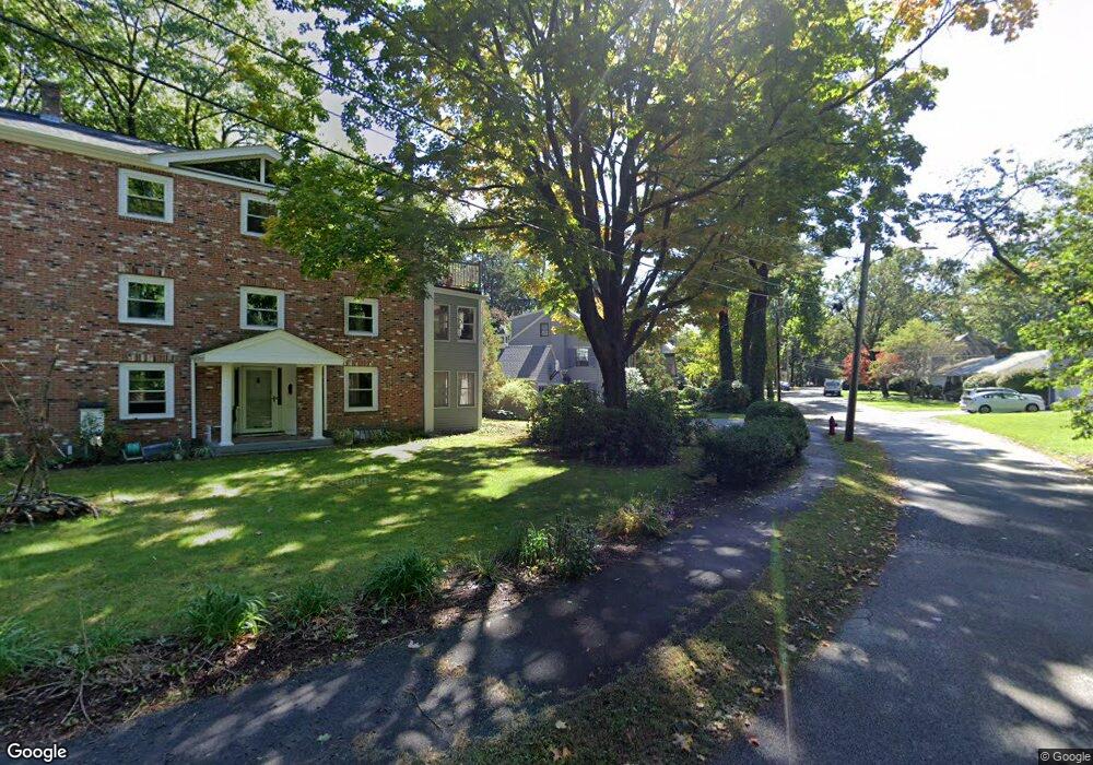
10 Lafayette Rd Newton Lower Falls, MA 02462
Newton Lower Falls NeighborhoodEstimated Value: $1,869,000 - $2,129,000
5
Beds
4
Baths
3,357
Sq Ft
$595/Sq Ft
Est. Value
About This Home
This home is located at 10 Lafayette Rd, Newton Lower Falls, MA 02462 and is currently estimated at $1,998,546, approximately $595 per square foot. 10 Lafayette Rd is a home located in Middlesex County with nearby schools including Angier Elementary School, Charles E Brown Middle School, and Newton South High School.
Ownership History
Date
Name
Owned For
Owner Type
Purchase Details
Closed on
Jan 2, 1997
Sold by
Lowey Kenneth M and Lowey Anne E
Bought by
Eberman Brian S and Covert Margaret J
Current Estimated Value
Home Financials for this Owner
Home Financials are based on the most recent Mortgage that was taken out on this home.
Original Mortgage
$350,000
Outstanding Balance
$37,084
Interest Rate
7.48%
Mortgage Type
Purchase Money Mortgage
Estimated Equity
$1,961,462
Create a Home Valuation Report for This Property
The Home Valuation Report is an in-depth analysis detailing your home's value as well as a comparison with similar homes in the area
Home Values in the Area
Average Home Value in this Area
Purchase History
| Date | Buyer | Sale Price | Title Company |
|---|---|---|---|
| Eberman Brian S | $456,000 | -- |
Source: Public Records
Mortgage History
| Date | Status | Borrower | Loan Amount |
|---|---|---|---|
| Open | Eberman Brian S | $350,000 | |
| Previous Owner | Eberman Brian S | $95,000 | |
| Previous Owner | Eberman Brian S | $202,300 |
Source: Public Records
Tax History Compared to Growth
Tax History
| Year | Tax Paid | Tax Assessment Tax Assessment Total Assessment is a certain percentage of the fair market value that is determined by local assessors to be the total taxable value of land and additions on the property. | Land | Improvement |
|---|---|---|---|---|
| 2025 | $17,719 | $1,808,100 | $862,100 | $946,000 |
| 2024 | $17,133 | $1,755,400 | $837,000 | $918,400 |
| 2023 | $16,479 | $1,618,800 | $649,900 | $968,900 |
| 2022 | $15,768 | $1,498,900 | $601,800 | $897,100 |
| 2021 | $15,396 | $1,430,900 | $567,700 | $863,200 |
| 2020 | $14,939 | $1,430,900 | $567,700 | $863,200 |
| 2019 | $14,517 | $1,389,200 | $551,200 | $838,000 |
| 2018 | $14,131 | $1,306,000 | $494,000 | $812,000 |
| 2017 | $13,701 | $1,232,100 | $466,000 | $766,100 |
| 2016 | $13,104 | $1,151,500 | $435,500 | $716,000 |
| 2015 | $12,495 | $1,076,200 | $407,000 | $669,200 |
Source: Public Records
Map
Nearby Homes
- 25 Columbia St
- 17 Deforest Rd
- 45 Moulton St
- 7 Crescent St
- 8 Old Town Rd
- 135 Orchard Ave
- 41 Orchard Ave
- 2084 Washington St
- 2 Longfellow Rd
- 45 E Quinobequin Rd
- 12 Bird Hill Ave
- 27 Oakwood Rd
- 34 Palmer Rd
- 177 Varick Rd
- 54 Colburn Rd
- 20 Oakland Street Front
- 52 Valley Rd
- 10 Lorraine Cir
- 17 Lasell St
- 23 Stonecroft Cir
- 16 Lafayette Rd
- 16 Lafayette Rd Unit 10A
- 16 Lafayette Rd Unit 11A
- 142 Pine Grove Ave
- 136 Pine Grove Ave
- 31 Saint Marys St
- 22 Lafayette Rd
- 37 Saint Marys St
- 160 Pine Grove Ave
- 25 Saint Marys St
- 17 Lafayette Rd
- 45 Saint Marys St
- 19 Saint Marys St
- 28 Lafayette Rd
- 25 Lafayette Rd
- 49 Saint Marys St
- 168 Pine Grove Ave
- 122 Pine Grove Ave
- 34 Lafayette Rd
- 31 Lafayette Rd