10 Loon Cove Way Edgartown, MA 02539
Edgartown NeighborhoodEstimated Value: $4,274,000 - $7,682,000
4
Beds
5
Baths
3,814
Sq Ft
$1,475/Sq Ft
Est. Value
About This Home
This home is located at 10 Loon Cove Way, Edgartown, MA 02539 and is currently estimated at $5,624,405, approximately $1,474 per square foot. 10 Loon Cove Way is a home located in Dukes County with nearby schools including Edgartown Elementary School and Martha's Vineyard Regional High School.
Ownership History
Date
Name
Owned For
Owner Type
Purchase Details
Closed on
Feb 27, 2024
Sold by
Sohn Francine B
Bought by
Sohn Gift Rt and Sohnt
Current Estimated Value
Purchase Details
Closed on
Jan 22, 2001
Sold by
Blueberry Rt and Daniele Carolyn
Bought by
Francis Sohn Pers Rs T and Sohn Roger S
Home Financials for this Owner
Home Financials are based on the most recent Mortgage that was taken out on this home.
Original Mortgage
$500,000
Interest Rate
7.52%
Mortgage Type
Purchase Money Mortgage
Create a Home Valuation Report for This Property
The Home Valuation Report is an in-depth analysis detailing your home's value as well as a comparison with similar homes in the area
Home Values in the Area
Average Home Value in this Area
Purchase History
| Date | Buyer | Sale Price | Title Company |
|---|---|---|---|
| Sohn Gift Rt | -- | None Available | |
| Sohn Gift Rt | -- | None Available | |
| Francis Sohn Pers Rs T | $1,600,000 | -- | |
| Francis Sohn Pers Rs T | $1,600,000 | -- |
Source: Public Records
Mortgage History
| Date | Status | Borrower | Loan Amount |
|---|---|---|---|
| Previous Owner | Francis Sohn Pers Rs T | $500,000 |
Source: Public Records
Tax History Compared to Growth
Tax History
| Year | Tax Paid | Tax Assessment Tax Assessment Total Assessment is a certain percentage of the fair market value that is determined by local assessors to be the total taxable value of land and additions on the property. | Land | Improvement |
|---|---|---|---|---|
| 2025 | $12,164 | $4,590,000 | $1,525,700 | $3,064,300 |
| 2024 | $11,292 | $4,428,400 | $1,525,700 | $2,902,700 |
| 2023 | $10,965 | $4,351,100 | $1,545,400 | $2,805,700 |
| 2022 | $9,997 | $3,299,400 | $1,495,900 | $1,803,500 |
| 2021 | $10,894 | $3,321,200 | $1,323,800 | $1,997,400 |
| 2020 | $11,712 | $3,496,000 | $1,498,600 | $1,997,400 |
| 2019 | $11,812 | $3,052,300 | $1,248,800 | $1,803,500 |
| 2018 | $17,829 | $4,607,100 | $2,810,000 | $1,797,100 |
| 2017 | $15,440 | $4,349,400 | $2,731,300 | $1,618,100 |
| 2016 | $14,750 | $4,074,600 | $2,471,000 | $1,603,600 |
| 2015 | $13,951 | $4,020,600 | $2,363,500 | $1,657,100 |
Source: Public Records
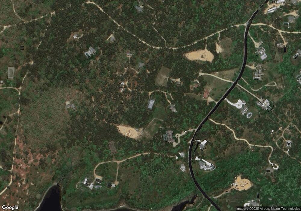
Map
Nearby Homes
- 29 Slough Cove Rd
- 39 Slough Cove Rd Unit 12.2 (part of)
- 39 Slough Cove Rd
- 31 Butlers Cove Rd
- 23 Thaxter Ln
- 8 Old Dunhams Corner Way
- 8 Court St
- 58 Road To the Plains
- 1 Wilsons Ln
- 12 Duarte Cir
- 61 Butlers Cove Rd
- 11A Duarte Cir
- 42 Road To the Plains
- 2 Farmers Rd
- 10 Duende Ln
- 63 Division Rd Unit 46
- 63 Division Rd
- 16 Schoolhouse Rd
- 36 Crocker Dr
- 42 Slough Cove Rd
- 12 Loon Cove Way
- 30 Slough Cove Rd
- 43 Slough Cove Rd
- 9 Loon Cove Way
- 52 Slough Cove Rd
- 7 Turkeyland Cove Rd
- 45 Slough Cove Rd
- 31 Slough Cove Rd
- 19 Turkeyland Cove Rd
- 11 Loon Cove Way
- 25 Slough Cove Rd
- 16 Turkeyland Cove Rd
- 39 Slough Cove Road - Part of (Lot 38)
- 55 Slough Cove Rd
- 46 Slough Cove Rd
- 23 Slough Cove Rd
- 59 Slough Cove Rd
- 23 Turkeyland Cove Rd
- 27 Slough Cove Rd