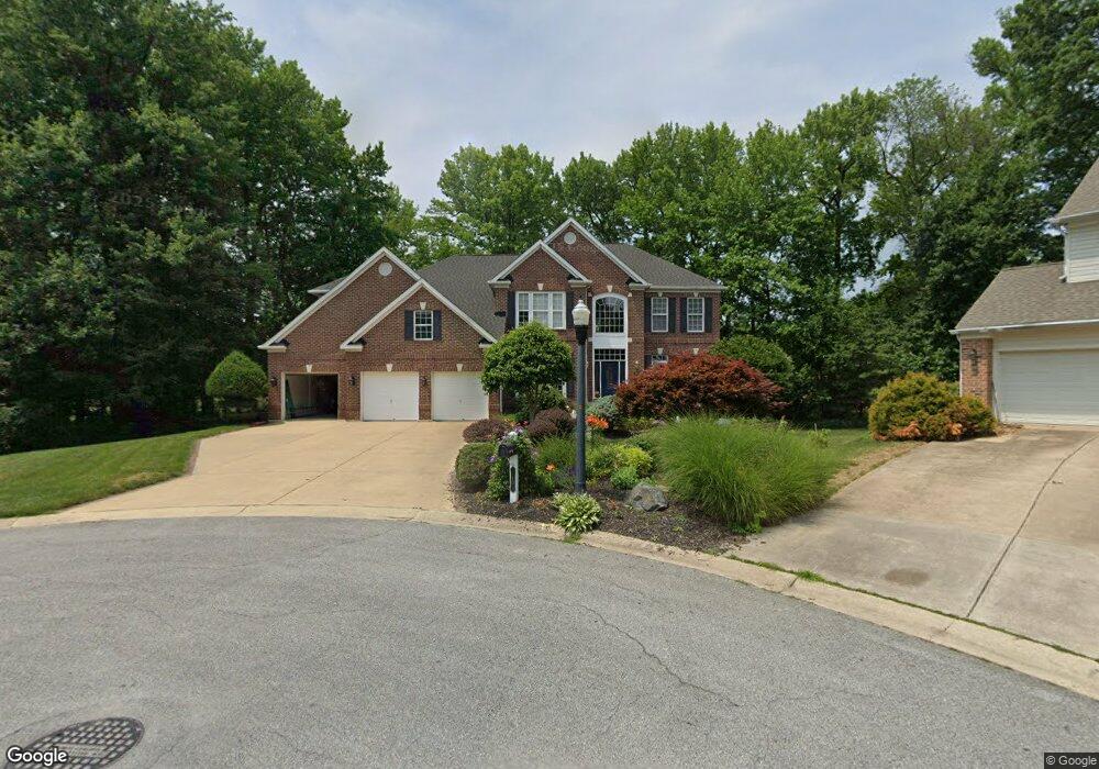
10 Matson Ct Wilmington, DE 19803
Carrcroft NeighborhoodEstimated Value: $830,000 - $1,021,000
4
Beds
3
Baths
3,170
Sq Ft
$287/Sq Ft
Est. Value
About This Home
This home is located at 10 Matson Ct, Wilmington, DE 19803 and is currently estimated at $911,317, approximately $287 per square foot. 10 Matson Ct is a home located in New Castle County with nearby schools including Lombardy Elementary School, Springer Middle School, and Brandywine High School.
Ownership History
Date
Name
Owned For
Owner Type
Purchase Details
Closed on
Sep 30, 2005
Sold by
Carter Albert F and Carter Elizabeth A
Bought by
Tao Darong and Wan Ying
Current Estimated Value
Home Financials for this Owner
Home Financials are based on the most recent Mortgage that was taken out on this home.
Original Mortgage
$359,650
Interest Rate
5.81%
Mortgage Type
Fannie Mae Freddie Mac
Create a Home Valuation Report for This Property
The Home Valuation Report is an in-depth analysis detailing your home's value as well as a comparison with similar homes in the area
Home Values in the Area
Average Home Value in this Area
Purchase History
| Date | Buyer | Sale Price | Title Company |
|---|---|---|---|
| Tao Darong | $705,000 | -- |
Source: Public Records
Mortgage History
| Date | Status | Borrower | Loan Amount |
|---|---|---|---|
| Closed | Tao Darong | $359,650 |
Source: Public Records
Tax History Compared to Growth
Tax History
| Year | Tax Paid | Tax Assessment Tax Assessment Total Assessment is a certain percentage of the fair market value that is determined by local assessors to be the total taxable value of land and additions on the property. | Land | Improvement |
|---|---|---|---|---|
| 2024 | $5,500 | $139,300 | $22,500 | $116,800 |
| 2023 | $5,062 | $139,300 | $22,500 | $116,800 |
| 2022 | $5,123 | $139,300 | $22,500 | $116,800 |
| 2021 | $5,120 | $139,300 | $22,500 | $116,800 |
| 2020 | $5,121 | $139,300 | $22,500 | $116,800 |
| 2019 | $5,435 | $139,300 | $22,500 | $116,800 |
| 2018 | $4,919 | $139,300 | $22,500 | $116,800 |
| 2017 | $4,846 | $139,300 | $22,500 | $116,800 |
| 2016 | $4,809 | $139,300 | $22,500 | $116,800 |
| 2015 | $4,439 | $139,300 | $22,500 | $116,800 |
| 2014 | $4,455 | $139,300 | $22,500 | $116,800 |
Source: Public Records
Map
Nearby Homes
- 1509 Turkey Run Rd
- 4314 Miller Rd
- 4404 Miller Rd
- 4316 Miller Rd
- 4318 Miller Rd
- 4559 Simon Rd
- 1 Rock Manor Ave
- 714 W 38th St
- 601 Coverly Rd
- 804 W Matson Run Pkwy
- 707 W 38th St
- 22 Bradley Dr
- 508 W 39th St
- 214 Waverly Rd
- 3601 N Madison St
- 504 W 34th St
- 3107 N Monroe St
- 215 Potomac Rd
- 250 Potomac Rd
- 310 W 37th St
- 9 Matson Ct
- 20 Weldin Park Dr
- 100 Weldin Park Dr
- 18 Weldin Park Dr
- 7 Matson Ct
- 102 Weldin Park Dr
- 250 Weldin Ridge Rd
- 10 Alfred Ct
- 16 Weldin Park Dr
- 8 Alfred Ct
- 5 Matson Ct
- 104 Weldin Park Dr
- 6 Matson Ct
- 13 Weldin Park Dr
- 1401 William Penn Ln
- 248 Weldin Ridge Rd
- 14 Weldin Park Dr
- 6 Alfred Ct
- 3 Matson Ct
- 247 Weldin Ridge Rd