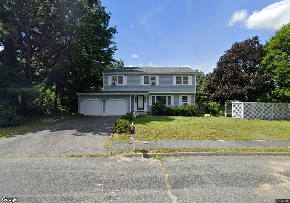
10 Maxwell Cir Hudson, MA 01749
Estimated Value: $685,000 - $820,000
4
Beds
3
Baths
2,130
Sq Ft
$352/Sq Ft
Est. Value
About This Home
This home is located at 10 Maxwell Cir, Hudson, MA 01749 and is currently estimated at $750,146, approximately $352 per square foot. 10 Maxwell Cir is a home located in Middlesex County with nearby schools including David J. Quinn Middle School, Hudson High School, and First Steps Children's Center.
Ownership History
Date
Name
Owned For
Owner Type
Purchase Details
Closed on
Mar 30, 2023
Sold by
Roberts Robert N and Roberts Jean M
Bought by
10 Max Ret
Current Estimated Value
Purchase Details
Closed on
Oct 20, 1995
Sold by
Ferreira Luis M and Ferreira Edilene R
Bought by
Roberts Robert N and Roberts Jean M
Purchase Details
Closed on
Feb 13, 1991
Sold by
Davis Johnny B and Thompson-Davis Joy
Bought by
Ferreira Luis M and Ferreira Edilene
Purchase Details
Closed on
Sep 29, 1987
Sold by
Lanes Homes Inc
Bought by
Davis Johnny B
Create a Home Valuation Report for This Property
The Home Valuation Report is an in-depth analysis detailing your home's value as well as a comparison with similar homes in the area
Home Values in the Area
Average Home Value in this Area
Purchase History
| Date | Buyer | Sale Price | Title Company |
|---|---|---|---|
| 10 Max Ret | -- | None Available | |
| 10 Max Ret | -- | None Available | |
| Roberts Robert N | $178,000 | -- | |
| Ferreira Luis M | $180,000 | -- | |
| Davis Johnny B | $238,730 | -- |
Source: Public Records
Mortgage History
| Date | Status | Borrower | Loan Amount |
|---|---|---|---|
| Previous Owner | Davis Johnny B | $23,000 | |
| Previous Owner | Davis Johnny B | $228,800 | |
| Previous Owner | Davis Johnny B | $166,700 |
Source: Public Records
Tax History Compared to Growth
Tax History
| Year | Tax Paid | Tax Assessment Tax Assessment Total Assessment is a certain percentage of the fair market value that is determined by local assessors to be the total taxable value of land and additions on the property. | Land | Improvement |
|---|---|---|---|---|
| 2025 | $9,336 | $672,600 | $212,100 | $460,500 |
| 2024 | $9,090 | $649,300 | $192,800 | $456,500 |
| 2023 | $8,304 | $568,800 | $185,800 | $383,000 |
| 2022 | $7,986 | $503,500 | $168,600 | $334,900 |
| 2021 | $6,857 | $458,100 | $160,900 | $297,200 |
| 2020 | $7,445 | $448,200 | $157,600 | $290,600 |
| 2019 | $7,044 | $413,600 | $157,600 | $256,000 |
| 2018 | $9,056 | $409,900 | $159,600 | $250,300 |
| 2017 | $7,212 | $412,100 | $157,900 | $254,200 |
| 2016 | $6,728 | $389,100 | $157,900 | $231,200 |
| 2015 | $6,532 | $378,200 | $157,900 | $220,300 |
| 2014 | $6,249 | $358,700 | $138,600 | $220,100 |
Source: Public Records
Map
Nearby Homes
- 107 Washington St
- 56 Park St
- 243 Washington St
- 17 School St Unit C
- 17 School St Unit A
- 0 Washington St
- 168 River Rd E Unit Lot 15A
- 168 River Rd E Unit Lot 5
- 168 River Rd E Unit Lot 3
- 168 River Rd E Unit Lot 11
- 168 River Rd E Unit Lot 2
- 168 River Rd E Unit Lot 6
- 16 Houghton St
- 65 Main St
- 243 Gates Pond Rd
- 123 Chapin Rd Unit 1A4
- 21 Gates Ave
- 18-24 River St Unit 1
- 4 Linden St
- 196 Chapin Rd