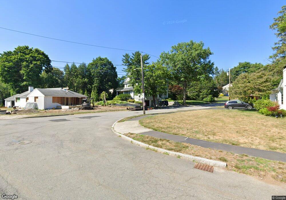
10 Mignon Rd West Newton, MA 02465
West Newton NeighborhoodEstimated Value: $2,327,000 - $4,804,000
3
Beds
2
Baths
1,836
Sq Ft
$2,006/Sq Ft
Est. Value
About This Home
This home is located at 10 Mignon Rd, West Newton, MA 02465 and is currently estimated at $3,683,347, approximately $2,006 per square foot. 10 Mignon Rd is a home located in Middlesex County with nearby schools including Peirce Elementary School, F.A. Day Middle School, and Newton North High School.
Ownership History
Date
Name
Owned For
Owner Type
Purchase Details
Closed on
Jun 28, 2007
Sold by
Lutton Beverly Anne
Bought by
Ciarimboli Dina M and Gordon Kenneth J
Current Estimated Value
Home Financials for this Owner
Home Financials are based on the most recent Mortgage that was taken out on this home.
Original Mortgage
$700,000
Interest Rate
6.24%
Mortgage Type
Purchase Money Mortgage
Purchase Details
Closed on
Jul 29, 1997
Sold by
Megerian Valentine J
Bought by
Lutton Monty J and Lutton Beverly A
Create a Home Valuation Report for This Property
The Home Valuation Report is an in-depth analysis detailing your home's value as well as a comparison with similar homes in the area
Home Values in the Area
Average Home Value in this Area
Purchase History
| Date | Buyer | Sale Price | Title Company |
|---|---|---|---|
| Ciarimboli Dina M | $875,000 | -- | |
| Lutton Monty J | $375,000 | -- |
Source: Public Records
Mortgage History
| Date | Status | Borrower | Loan Amount |
|---|---|---|---|
| Open | Lutton Monty J | $350,000 | |
| Open | Lutton Monty J | $523,750 | |
| Closed | Ciarimboli Dina M | $700,000 | |
| Previous Owner | Lutton Monty J | $25,000 |
Source: Public Records
Tax History
| Year | Tax Paid | Tax Assessment Tax Assessment Total Assessment is a certain percentage of the fair market value that is determined by local assessors to be the total taxable value of land and additions on the property. | Land | Improvement |
|---|---|---|---|---|
| 2025 | $29,938 | $3,054,900 | $1,313,400 | $1,741,500 |
| 2024 | $28,947 | $2,965,900 | $1,275,100 | $1,690,800 |
| 2023 | $28,257 | $2,775,700 | $995,300 | $1,780,400 |
| 2022 | $27,037 | $2,570,100 | $921,600 | $1,648,500 |
| 2021 | $26,089 | $2,424,600 | $869,400 | $1,555,200 |
| 2020 | $25,313 | $2,424,600 | $869,400 | $1,555,200 |
| 2019 | $30,239 | $2,893,700 | $844,100 | $2,049,600 |
| 2018 | $29,456 | $2,722,400 | $762,800 | $1,959,600 |
| 2017 | $28,559 | $2,568,300 | $719,600 | $1,848,700 |
| 2016 | $27,315 | $2,400,300 | $672,500 | $1,727,800 |
| 2015 | $26,045 | $2,243,300 | $628,500 | $1,614,800 |
Source: Public Records
Map
Nearby Homes
- 40 Sewall St
- 26 Sewall St
- 27 Tennyson Rd
- 81 Fuller St
- 19 Gordon Rd
- 0 Duncan Rd Unit 72925240
- 1754 Washington St
- 97 Valentine St
- 18 Moffat Rd
- 15 Gammons Rd
- 20 Risley Rd
- 7 Sharon Ave Unit 7
- 115 Windsor Rd
- 1230 Commonwealth Ave
- 1917 Commonwealth Ave Unit 1917
- 1919 Commonwealth Ave Unit 1919
- 29 Montclair Rd
- 55 Evelyn Rd
- 155 Paulson Rd
- 1151 Commonwealth Ave
- 24 Ruane Rd
- 18 Mignon Rd
- 1555 Commonwealth Ave
- 1551 Commonwealth Ave
- 40 Ruane Rd
- 1569 Commonwealth Ave
- 15 Mignon Rd
- 28 Mignon Rd
- 33 Ruane Rd
- 25 Mignon Rd
- 25 Mignon Rd Unit 25
- 25 Mignon Rd Unit 1
- 1575 Commonwealth Ave
- 56 Ruane Rd
- 43 Ruane Rd
- 19 Ruane Rd
- 11 Ruane Rd
- 11 Ruane Rd Unit 1
- 35 Mignon Rd
- 74 Ruane Rd
Your Personal Tour Guide
Ask me questions while you tour the home.