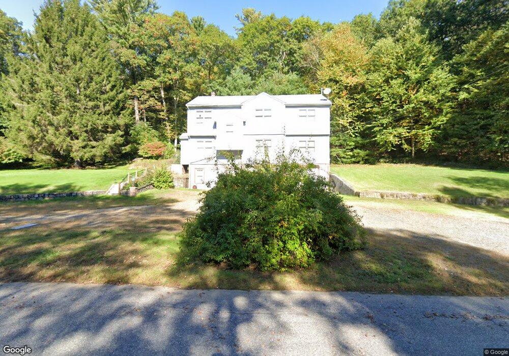
10 Old River Rd Willington, CT 06279
Estimated Value: $351,000 - $420,214
3
Beds
2
Baths
2,498
Sq Ft
$154/Sq Ft
Est. Value
About This Home
This home is located at 10 Old River Rd, Willington, CT 06279 and is currently estimated at $384,804, approximately $154 per square foot. 10 Old River Rd is a home located in Tolland County with nearby schools including Center Elementary School, Hall Memorial School, and E.O. Smith High School.
Ownership History
Date
Name
Owned For
Owner Type
Purchase Details
Closed on
Jun 28, 2002
Sold by
Mccaughey Barbara
Bought by
Colvin Margaret and Moss Cynthia
Current Estimated Value
Home Financials for this Owner
Home Financials are based on the most recent Mortgage that was taken out on this home.
Original Mortgage
$96,000
Interest Rate
6.5%
Purchase Details
Closed on
Sep 27, 1999
Sold by
Arsenault James
Bought by
Mccaughey Barbara
Create a Home Valuation Report for This Property
The Home Valuation Report is an in-depth analysis detailing your home's value as well as a comparison with similar homes in the area
Home Values in the Area
Average Home Value in this Area
Purchase History
| Date | Buyer | Sale Price | Title Company |
|---|---|---|---|
| Colvin Margaret | $156,000 | -- | |
| Colvin Margaret | $156,000 | -- | |
| Mccaughey Barbara | $15,000 | -- | |
| Mccaughey Barbara | $15,000 | -- |
Source: Public Records
Mortgage History
| Date | Status | Borrower | Loan Amount |
|---|---|---|---|
| Closed | Mccaughey Barbara | $30,000 | |
| Closed | Mccaughey Barbara | $100,000 | |
| Closed | Mccaughey Barbara | $96,000 |
Source: Public Records
Tax History
| Year | Tax Paid | Tax Assessment Tax Assessment Total Assessment is a certain percentage of the fair market value that is determined by local assessors to be the total taxable value of land and additions on the property. | Land | Improvement |
|---|---|---|---|---|
| 2025 | $6,090 | $239,580 | $47,140 | $192,440 |
| 2024 | $5,501 | $162,310 | $33,520 | $128,790 |
| 2023 | $5,220 | $162,310 | $33,520 | $128,790 |
| 2022 | $5,075 | $162,310 | $33,520 | $128,790 |
| 2021 | $19,843 | $162,310 | $33,520 | $128,790 |
| 2020 | $4,868 | $162,310 | $33,520 | $128,790 |
| 2019 | $199 | $162,310 | $33,520 | $128,790 |
| 2018 | $201 | $146,220 | $40,730 | $105,490 |
| 2017 | $4,400 | $146,220 | $40,730 | $105,490 |
| 2015 | $3,998 | $146,220 | $40,730 | $105,490 |
| 2014 | $3,998 | $146,220 | $40,730 | $105,490 |
Source: Public Records
Map
Nearby Homes
- 0 River Rd Unit 24120753
- 21 Ashley Ln
- 280 Village Hill Rd
- 28 Cemetery Rd
- 0 Lohse Rd Unit map 42 block 21
- 0 Tolland Stage Rd Unit 24101836
- 487 Buff Cap Rd
- 0 Jared Sparks Rd
- 0 Tolland Turnpike
- 645 Buff Cap Rd
- 8 Neff Hill Rd
- 41 Neff Hill Rd
- 15 Usher Ridge
- 68 Usher Ridge
- 36 Usher Ridge
- 110 Neff Hill Rd
- 105 Neff Hill Rd
- 137 Neff Hill Rd
- 77 Neff Hill Rd
- 100 Neff Hill Rd
- 32 Old River Rd
- 7 Schofield Rd
- 21 Schofield Rd
- 16 Old River Rd
- 5 Schofield Rd
- -- Old River Rd
- 0 Old River Rd
- 22 Old River Rd
- 549 River Rd
- 29 Schofield Rd
- 28 Old River Rd
- 30 Schofield Rd
- 32 Schofield Rd
- 38 Schofield Rd
- 535 River Rd
- 34 Old River Rd
- 42 Schofield Rd
- 41 Schofield Rd
- 31 Saint Moritz Cir
- 36 Old River Rd
Your Personal Tour Guide
Ask me questions while you tour the home.