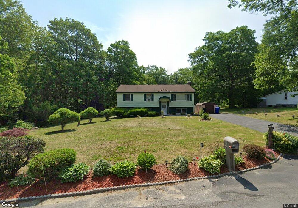
10 Pine Rd Hudson, NH 03051
Estimated Value: $477,621 - $572,000
3
Beds
2
Baths
1,276
Sq Ft
$410/Sq Ft
Est. Value
About This Home
This home is located at 10 Pine Rd, Hudson, NH 03051 and is currently estimated at $523,655, approximately $410 per square foot. 10 Pine Rd is a home with nearby schools including Nottingham West Elementary School, Hudson Memorial School, and Alvirne High School.
Ownership History
Date
Name
Owned For
Owner Type
Purchase Details
Closed on
Mar 13, 2013
Sold by
Carey Mary J
Bought by
First M J Carey Ft and Carey Maryjane
Current Estimated Value
Purchase Details
Closed on
Feb 25, 2013
Sold by
First Mj Carey Ft and Carey Maryjane
Bought by
Carey Maryjane
Create a Home Valuation Report for This Property
The Home Valuation Report is an in-depth analysis detailing your home's value as well as a comparison with similar homes in the area
Home Values in the Area
Average Home Value in this Area
Purchase History
| Date | Buyer | Sale Price | Title Company |
|---|---|---|---|
| First M J Carey Ft | -- | -- | |
| Carey Maryjane | -- | -- |
Source: Public Records
Tax History
| Year | Tax Paid | Tax Assessment Tax Assessment Total Assessment is a certain percentage of the fair market value that is determined by local assessors to be the total taxable value of land and additions on the property. | Land | Improvement |
|---|---|---|---|---|
| 2025 | $6,507 | $380,300 | $163,000 | $217,300 |
| 2024 | $6,256 | $380,300 | $163,000 | $217,300 |
| 2023 | $5,963 | $380,300 | $163,000 | $217,300 |
| 2022 | $5,587 | $380,300 | $163,000 | $217,300 |
| 2021 | $5,387 | $248,600 | $105,900 | $142,700 |
| 2020 | $5,313 | $248,600 | $105,900 | $142,700 |
| 2019 | $5,042 | $248,600 | $105,900 | $142,700 |
| 2018 | $5,029 | $250,200 | $105,900 | $144,300 |
| 2017 | $4,934 | $250,200 | $105,900 | $144,300 |
| 2016 | $4,983 | $226,800 | $101,600 | $125,200 |
| 2015 | $4,820 | $226,800 | $101,600 | $125,200 |
| 2014 | $4,724 | $226,800 | $101,600 | $125,200 |
| 2013 | $4,663 | $226,800 | $101,600 | $125,200 |
Source: Public Records
Map
Nearby Homes
- 48 Dracut Rd
- 17 Descheneaux Ln
- 104 Long Pond Rd
- 78 Gowing Rd
- 25 Rock Rd
- 75 Frost Rd
- 2 Aspen Dr
- 2 Aspen Dr Unit Lot 146-17
- 56 Frost Rd
- 33 Spit Brook Rd Unit A-2
- 5 Louisburg Square Unit 11
- 3 Louisburg Square Unit 1
- 160 Daniel Webster Hwy Unit 201
- 160 Daniel Webster Hwy Unit 319
- 31 Bluestone Dr
- 179 Lakeview Ave
- 27 Beech St
- 6 Roy Ave
- 30 Tamarack Way Unit 30
- 310 Brook Village Rd Unit U33
Your Personal Tour Guide
Ask me questions while you tour the home.