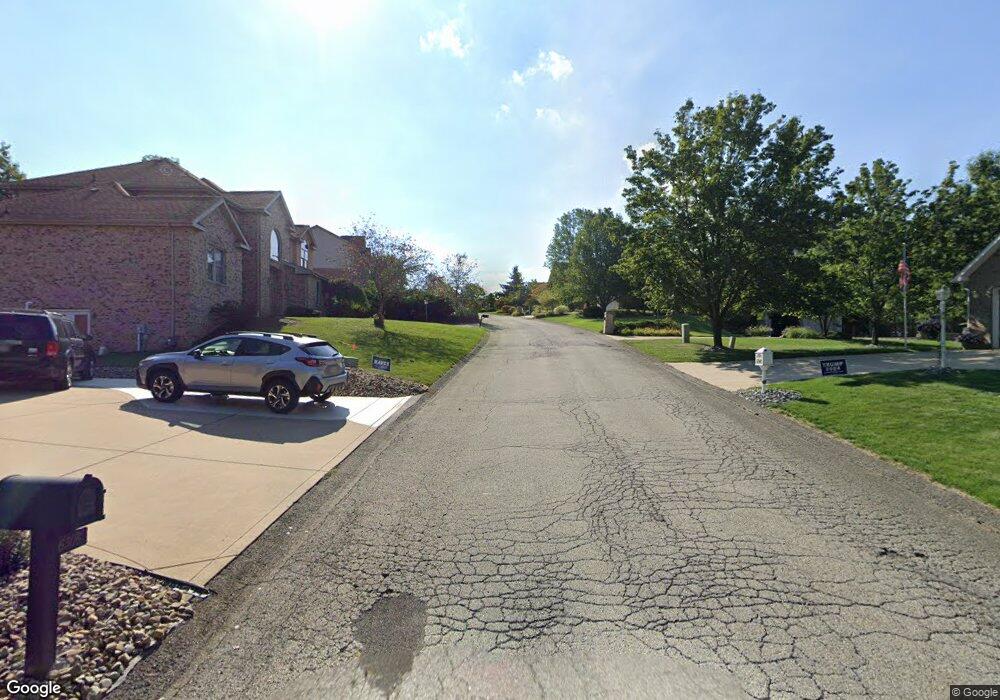
10 Point Cir Trafford, PA 15085
Penn Township NeighborhoodEstimated Value: $95,618 - $509,000
--
Bed
--
Bath
2,688
Sq Ft
$145/Sq Ft
Est. Value
About This Home
This home is located at 10 Point Cir, Trafford, PA 15085 and is currently estimated at $390,155, approximately $145 per square foot. 10 Point Cir is a home with nearby schools including Penn Trafford High School.
Ownership History
Date
Name
Owned For
Owner Type
Purchase Details
Closed on
Jun 11, 2001
Sold by
Brentzel Dennis M and Brentzel Karen
Bought by
Paliscak Christopher G and Paliscak Jennifer
Current Estimated Value
Home Financials for this Owner
Home Financials are based on the most recent Mortgage that was taken out on this home.
Original Mortgage
$211,200
Outstanding Balance
$80,098
Interest Rate
7.08%
Mortgage Type
Purchase Money Mortgage
Estimated Equity
$310,057
Create a Home Valuation Report for This Property
The Home Valuation Report is an in-depth analysis detailing your home's value as well as a comparison with similar homes in the area
Home Values in the Area
Average Home Value in this Area
Purchase History
| Date | Buyer | Sale Price | Title Company |
|---|---|---|---|
| Paliscak Christopher G | $264,000 | -- |
Source: Public Records
Mortgage History
| Date | Status | Borrower | Loan Amount |
|---|---|---|---|
| Open | Paliscak Christopher G | $211,200 |
Source: Public Records
Tax History Compared to Growth
Tax History
| Year | Tax Paid | Tax Assessment Tax Assessment Total Assessment is a certain percentage of the fair market value that is determined by local assessors to be the total taxable value of land and additions on the property. | Land | Improvement |
|---|---|---|---|---|
| 2025 | $5,592 | $40,840 | $3,120 | $37,720 |
| 2024 | $5,551 | $40,840 | $3,120 | $37,720 |
| 2023 | $5,266 | $40,840 | $3,120 | $37,720 |
| 2022 | $5,205 | $40,840 | $3,120 | $37,720 |
| 2021 | $5,164 | $40,840 | $3,120 | $37,720 |
| 2020 | $5,123 | $40,840 | $3,120 | $37,720 |
| 2019 | $5,000 | $40,840 | $3,120 | $37,720 |
| 2018 | $4,858 | $40,840 | $3,120 | $37,720 |
| 2017 | $4,735 | $40,840 | $3,120 | $37,720 |
| 2016 | $4,596 | $40,840 | $3,120 | $37,720 |
| 2015 | $4,596 | $40,840 | $3,120 | $37,720 |
| 2014 | $4,514 | $40,840 | $3,120 | $37,720 |
Source: Public Records
Map
Nearby Homes
- 6411 Ten Point Cir
- 6178 Baker School Rd
- 1004 Blueridge Ct
- 1015 Noble Pine Ct
- 611 & 611 1/2 Sixth St
- 0 Evergreen (Lot 21-22) Unit 1711486
- 729 State Route 130
- 1004 Christina Ct
- 708 State Route 130
- 301 Pine Hollow Rd
- 632 Penn Dr
- 674 Meadowbrook Rd
- 1010 1st St
- 0 Pine Hollow Road Extension
- 4073 Route 130
- 129 Fern Dr
- 117 Plum Dr
- 160 Sunrise Dr
- 233 Saunders Station Rd
- 204 Ridgecrest Ct
- 6526 Ten Point Cir
- 6522 Ten Point Cir
- 6525 Ten Point Cir
- 6527 Ten Point Cir
- 6528 Ten Point Cir
- 6523 Ten Point Cir
- 6518 Ten Point Cir
- 6521 Ten Point Cir
- 6529 Ten Point Cir
- 6514 Ten Point Cir
- 6530 Ten Point Cir
- 6307 Doe Cir
- 6519 Ten Point Cir
- 6531 Ten Point Cir
- 6308 Doe Cir
- 6512 Ten Point Cir
- 6532 Ten Point Cir
- 6510 Ten Point Cir
- 6517 Ten Point Cir
- 6515 Ten Point Cir
