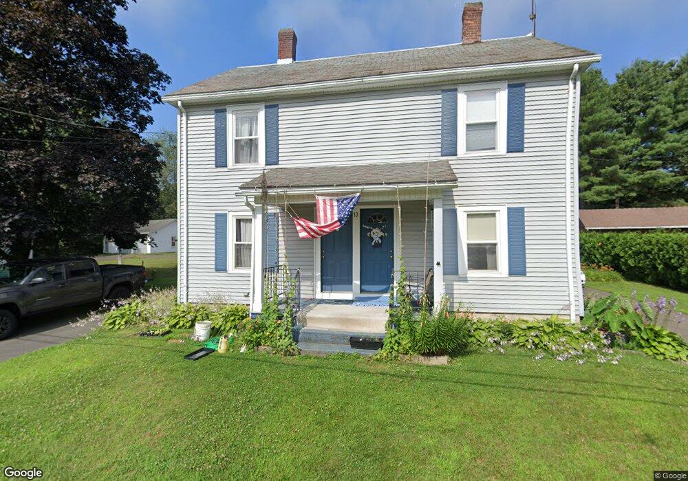
10 Porter Ave Hatfield, MA 01038
Estimated Value: $415,000 - $593,000
8
Beds
4
Baths
1,920
Sq Ft
$257/Sq Ft
Est. Value
About This Home
This home is located at 10 Porter Ave, Hatfield, MA 01038 and is currently estimated at $493,586, approximately $257 per square foot. 10 Porter Ave is a home located in Hampshire County with nearby schools including Hatfield Elementary School, Smith Academy, and The Montessori School of Northampton.
Create a Home Valuation Report for This Property
The Home Valuation Report is an in-depth analysis detailing your home's value as well as a comparison with similar homes in the area
Home Values in the Area
Average Home Value in this Area
Tax History
| Year | Tax Paid | Tax Assessment Tax Assessment Total Assessment is a certain percentage of the fair market value that is determined by local assessors to be the total taxable value of land and additions on the property. | Land | Improvement |
|---|---|---|---|---|
| 2025 | $5,940 | $429,200 | $130,500 | $298,700 |
| 2024 | $6,251 | $408,300 | $113,700 | $294,600 |
| 2023 | $5,159 | $382,700 | $108,100 | $274,600 |
| 2022 | $4,908 | $359,000 | $102,500 | $256,500 |
| 2021 | $4,860 | $342,500 | $93,200 | $249,300 |
| 2020 | $4,634 | $342,500 | $93,200 | $249,300 |
| 2019 | $4,271 | $307,500 | $91,300 | $216,200 |
| 2018 | $4,077 | $300,200 | $91,300 | $208,900 |
| 2017 | $3,901 | $295,100 | $91,300 | $203,800 |
| 2016 | $3,866 | $293,300 | $91,300 | $202,000 |
| 2015 | $3,589 | $272,500 | $82,000 | $190,500 |
| 2014 | $3,441 | $271,600 | $82,000 | $189,600 |
Source: Public Records
Map
Nearby Homes
- 18 Elm St
- 58 Main St Unit 4
- 58 Main St Unit 3
- 71 Chestnut St
- 149 Prospect St
- 0 Straits Rd
- 27 River Dr
- 11 West St
- 0 N Branch Rd
- 59 N Hatfield Rd
- 43 Laurel Park Unit 43
- 26 Russell St Unit A-B
- 32 Stonewall Dr
- 128 West St
- 211 Russell St
- 80 Damon Rd Unit 8201
- 80 Damon Rd Unit 5104
- 80 Damon Rd Unit 4302
- 133 Middle St
- 14 Hawley Rd
Your Personal Tour Guide
Ask me questions while you tour the home.