10 Pullman Dr Unit 10 Hollis, NH 03049
West Hollis NeighborhoodEstimated Value: $486,541 - $532,000
2
Beds
2
Baths
1,851
Sq Ft
$273/Sq Ft
Est. Value
About This Home
This home is located at 10 Pullman Dr Unit 10, Hollis, NH 03049 and is currently estimated at $504,635, approximately $272 per square foot. 10 Pullman Dr Unit 10 is a home located in Hillsborough County with nearby schools including Hollis Primary School, Hollis Upper Elementary School, and Hollis-Brookline Middle School.
Ownership History
Date
Name
Owned For
Owner Type
Purchase Details
Closed on
May 5, 2020
Sold by
Barbara D Philpsen Ret
Bought by
Kobs Arthur A and Kobs Donna T
Current Estimated Value
Home Financials for this Owner
Home Financials are based on the most recent Mortgage that was taken out on this home.
Original Mortgage
$249,600
Outstanding Balance
$221,180
Interest Rate
3.3%
Mortgage Type
Purchase Money Mortgage
Estimated Equity
$283,455
Purchase Details
Closed on
Apr 26, 2013
Sold by
Philipsen Barbara
Bought by
Barbara D Philipsen Re and Philipsen Barbara
Purchase Details
Closed on
Feb 15, 2011
Sold by
Trudi Luthi Ret
Bought by
Philipsen Barbara
Create a Home Valuation Report for This Property
The Home Valuation Report is an in-depth analysis detailing your home's value as well as a comparison with similar homes in the area
Home Values in the Area
Average Home Value in this Area
Purchase History
| Date | Buyer | Sale Price | Title Company |
|---|---|---|---|
| Kobs Arthur A | $312,000 | None Available | |
| Barbara D Philipsen Re | -- | -- | |
| Philipsen Barbara | $208,000 | -- |
Source: Public Records
Mortgage History
| Date | Status | Borrower | Loan Amount |
|---|---|---|---|
| Open | Kobs Arthur A | $249,600 |
Source: Public Records
Tax History Compared to Growth
Tax History
| Year | Tax Paid | Tax Assessment Tax Assessment Total Assessment is a certain percentage of the fair market value that is determined by local assessors to be the total taxable value of land and additions on the property. | Land | Improvement |
|---|---|---|---|---|
| 2024 | $7,365 | $415,400 | $0 | $415,400 |
| 2023 | $6,921 | $415,400 | $0 | $415,400 |
| 2022 | $9,376 | $415,400 | $0 | $415,400 |
| 2021 | $5,729 | $252,400 | $0 | $252,400 |
| 2020 | $5,851 | $252,400 | $0 | $252,400 |
| 2019 | $5,830 | $252,400 | $0 | $252,400 |
| 2018 | $5,470 | $252,400 | $0 | $252,400 |
| 2017 | $4,880 | $210,800 | $0 | $210,800 |
| 2016 | $4,939 | $210,800 | $0 | $210,800 |
| 2015 | $4,853 | $210,800 | $0 | $210,800 |
| 2014 | $4,876 | $210,800 | $0 | $210,800 |
| 2013 | $4,810 | $210,800 | $0 | $210,800 |
Source: Public Records
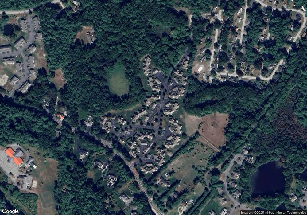
Map
Nearby Homes
- 18 Rail Way
- 49 Rail Way Unit 49
- 2 Cross Rd
- 1 Rail Way
- 33 Rail Way
- 16 Rail Way
- 19 Rail Way Unit 19
- 12 Cross Rd
- 57 Rail Way Unit 32B
- 2 Pullman Dr
- 29 Rail Way
- 57 Rail Way Unit 57
- 6 Cross Rd Unit 6
- 6 Cross Rd Unit C
- 1 Rail Way Unit 1
- 1 Rail Way Unit H
- 57 Rail Way
- 19 Rail Way
- 6 Cross Rd
- 29 Rail Way Unit 29