Estimated Value: $938,180 - $1,231,000
3
Beds
3
Baths
2,250
Sq Ft
$480/Sq Ft
Est. Value
About This Home
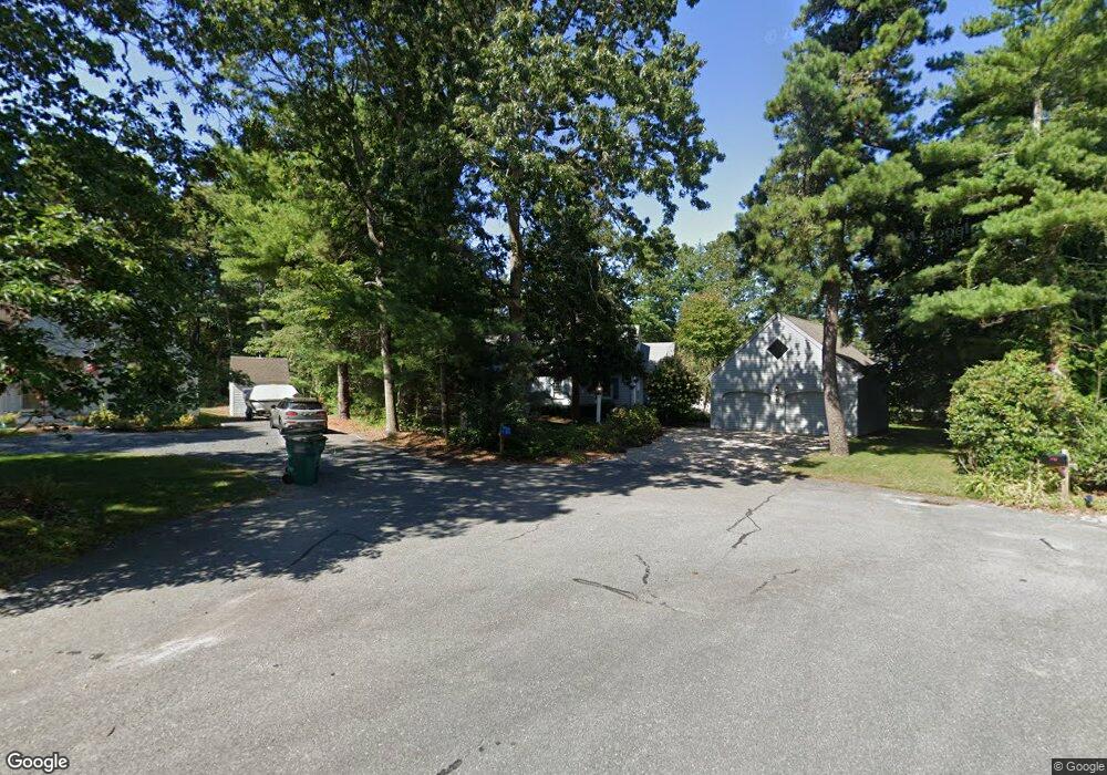
This home is located at 10 Red Fin, Mashpee, MA 02649 and is currently estimated at $1,079,295, approximately $479 per square foot. 10 Red Fin is a home located in Barnstable County with nearby schools including Kenneth C. Coombs School, Quashnet School, and Mashpee Middle School.
Ownership History
Date
Name
Owned For
Owner Type
Purchase Details
Closed on
Sep 21, 2010
Sold by
Sullivan Robert P and Sullivan Linda E
Bought by
Reardon 3Rd Thomas L and Reardon Susan P
Current Estimated Value
Home Financials for this Owner
Home Financials are based on the most recent Mortgage that was taken out on this home.
Original Mortgage
$375,750
Outstanding Balance
$249,000
Interest Rate
4.51%
Mortgage Type
Purchase Money Mortgage
Estimated Equity
$830,295
Purchase Details
Closed on
Jun 1, 2004
Sold by
Sharkey Edna L and Sharkey Raymond L
Bought by
Sullivan Linda E and Sullivan Robert P
Home Financials for this Owner
Home Financials are based on the most recent Mortgage that was taken out on this home.
Original Mortgage
$354,800
Interest Rate
5.88%
Mortgage Type
Purchase Money Mortgage
Create a Home Valuation Report for This Property
The Home Valuation Report is an in-depth analysis detailing your home's value as well as a comparison with similar homes in the area
Home Values in the Area
Average Home Value in this Area
Purchase History
| Date | Buyer | Sale Price | Title Company |
|---|---|---|---|
| Reardon 3Rd Thomas L | $417,500 | -- | |
| Sullivan Linda E | $443,500 | -- |
Source: Public Records
Mortgage History
| Date | Status | Borrower | Loan Amount |
|---|---|---|---|
| Open | Reardon 3Rd Thomas L | $375,750 | |
| Previous Owner | Sullivan Linda E | $354,800 |
Source: Public Records
Tax History
| Year | Tax Paid | Tax Assessment Tax Assessment Total Assessment is a certain percentage of the fair market value that is determined by local assessors to be the total taxable value of land and additions on the property. | Land | Improvement |
|---|---|---|---|---|
| 2025 | $5,601 | $846,000 | $362,000 | $484,000 |
| 2024 | $5,120 | $796,300 | $329,100 | $467,200 |
| 2023 | $4,716 | $672,700 | $289,300 | $383,400 |
| 2022 | $4,509 | $551,900 | $235,200 | $316,700 |
| 2021 | $4,469 | $492,700 | $211,900 | $280,800 |
| 2020 | $4,471 | $491,900 | $220,700 | $271,200 |
| 2019 | $4,291 | $474,100 | $220,700 | $253,400 |
| 2018 | $4,103 | $460,000 | $220,700 | $239,300 |
| 2017 | $4,049 | $440,600 | $220,700 | $219,900 |
| 2016 | $3,937 | $426,100 | $220,700 | $205,400 |
| 2015 | $3,794 | $416,500 | $220,700 | $195,800 |
| 2014 | $3,878 | $413,000 | $217,400 | $195,600 |
Source: Public Records
Map
Nearby Homes
- 7 Blue Fin
- 42 Fells Pond Rd
- 97 Walton Heath Way
- 16 Slice Way
- 72 Walton Heath Way
- 51 Walton Heath Way
- 36 Rosewood Cir
- 21 Saltwater Cir
- 101 Greensward Rd
- 381 Great Oak Rd Unit 9
- 46 Greensward Cir
- 22 Mid Iron Way Unit 7511
- 37 The Hunt Cir
- 15 Brant Rock Rd Unit 765
- 6 Hammock Pond Rd
- 6 Hammock Pond Rd Unit 6
- 3 Hyannis Point Rd Unit 790
- 3 Hyannis Point Rd
- 21 Milestone Way Unit 620
- 33 Landmark Ave
Your Personal Tour Guide
Ask me questions while you tour the home.