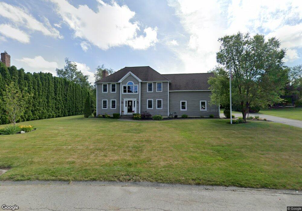
10 Rice Rd Auburn, MA 01501
Pakachoag NeighborhoodEstimated Value: $678,373 - $844,000
4
Beds
3
Baths
2,497
Sq Ft
$309/Sq Ft
Est. Value
About This Home
This home is located at 10 Rice Rd, Auburn, MA 01501 and is currently estimated at $770,843, approximately $308 per square foot. 10 Rice Rd is a home located in Worcester County with nearby schools including Auburn Senior High School, Canterbury Street School, and Shrewsbury Montessori School - Auburn Campus.
Create a Home Valuation Report for This Property
The Home Valuation Report is an in-depth analysis detailing your home's value as well as a comparison with similar homes in the area
Home Values in the Area
Average Home Value in this Area
Tax History Compared to Growth
Tax History
| Year | Tax Paid | Tax Assessment Tax Assessment Total Assessment is a certain percentage of the fair market value that is determined by local assessors to be the total taxable value of land and additions on the property. | Land | Improvement |
|---|---|---|---|---|
| 2025 | $87 | $611,200 | $142,500 | $468,700 |
| 2024 | $9,049 | $606,100 | $137,200 | $468,900 |
| 2023 | $8,628 | $543,300 | $124,700 | $418,600 |
| 2022 | $7,922 | $471,000 | $124,700 | $346,300 |
| 2021 | $7,662 | $422,400 | $110,200 | $312,200 |
| 2020 | $7,595 | $422,400 | $110,200 | $312,200 |
| 2019 | $7,657 | $415,700 | $109,100 | $306,600 |
| 2018 | $4,611 | $407,200 | $102,100 | $305,100 |
| 2017 | $7,215 | $393,400 | $92,500 | $300,900 |
| 2016 | $7,033 | $388,800 | $95,400 | $293,400 |
| 2015 | $6,731 | $390,000 | $95,400 | $294,600 |
| 2014 | $6,579 | $380,500 | $90,900 | $289,600 |
Source: Public Records
Map
Nearby Homes
- 801 Forest Park Dr Unit 801
- 52 Harrison Ave
- 104 Elmwood St
- 31 Walsh Ave
- 31-33 Walsh Ave
- 33 Walsh Ave
- 216-220 Hampton St
- 204-212 Hampton St
- 1 Amesbury St
- 113 Washington St Unit 9
- 24 Central St
- 148 Hampton St
- 61 Elmwood St
- 47 Washington St Unit 26
- 34 Rockland Rd
- 115 Pakachoag St
- 10 Meadowbrook Rd
- 6 Renaud Dr
- 16 Pinrock Rd
- 32 Field St