10 Rivers Edge Place Methuen, MA 01844
The East End NeighborhoodEstimated Value: $661,000 - $732,000
4
Beds
2
Baths
1,986
Sq Ft
$345/Sq Ft
Est. Value
About This Home
This home is located at 10 Rivers Edge Place, Methuen, MA 01844 and is currently estimated at $685,935, approximately $345 per square foot. 10 Rivers Edge Place is a home located in Essex County with nearby schools including Timony Grammar School, South Point Elementary School, and Methuen High School.
Ownership History
Date
Name
Owned For
Owner Type
Purchase Details
Closed on
May 15, 1998
Sold by
Rivers Edge Land Dev
Bought by
Albrecht Christopher W
Current Estimated Value
Home Financials for this Owner
Home Financials are based on the most recent Mortgage that was taken out on this home.
Original Mortgage
$140,000
Interest Rate
7.08%
Mortgage Type
Purchase Money Mortgage
Create a Home Valuation Report for This Property
The Home Valuation Report is an in-depth analysis detailing your home's value as well as a comparison with similar homes in the area
Home Values in the Area
Average Home Value in this Area
Purchase History
| Date | Buyer | Sale Price | Title Company |
|---|---|---|---|
| Albrecht Christopher W | $175,500 | -- | |
| Albrecht Christopher W | $175,500 | -- |
Source: Public Records
Mortgage History
| Date | Status | Borrower | Loan Amount |
|---|---|---|---|
| Open | Albrecht Christopher W | $240,000 | |
| Closed | Albrecht Christopher W | $140,000 |
Source: Public Records
Tax History Compared to Growth
Tax History
| Year | Tax Paid | Tax Assessment Tax Assessment Total Assessment is a certain percentage of the fair market value that is determined by local assessors to be the total taxable value of land and additions on the property. | Land | Improvement |
|---|---|---|---|---|
| 2025 | $5,896 | $557,300 | $214,100 | $343,200 |
| 2024 | $5,875 | $541,000 | $195,300 | $345,700 |
| 2023 | $5,662 | $483,900 | $173,600 | $310,300 |
| 2022 | $5,401 | $413,900 | $144,700 | $269,200 |
| 2021 | $5,102 | $386,800 | $137,400 | $249,400 |
| 2020 | $5,067 | $377,000 | $137,400 | $239,600 |
| 2019 | $4,793 | $337,800 | $123,000 | $214,800 |
| 2018 | $4,682 | $328,100 | $123,000 | $205,100 |
| 2017 | $4,565 | $311,600 | $123,000 | $188,600 |
| 2016 | $4,458 | $301,000 | $115,700 | $185,300 |
| 2015 | $4,222 | $289,200 | $115,700 | $173,500 |
Source: Public Records
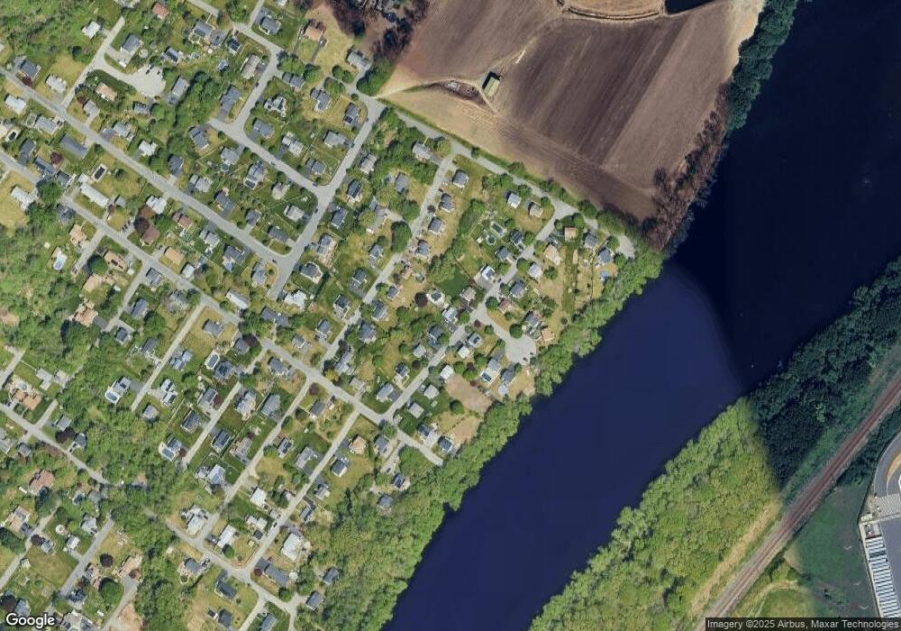
Map
Nearby Homes
- 49 Golf Ave
- 2 Goodrich Ave
- 29 Wallace St
- 45 Christopher Dr Unit 101
- 6 Aberdeen Rd
- 115 Merrimack Rd
- 17 Ferry Rd
- 86 Comet Rd
- 1 Riverview Blvd Unit 3-8
- 1 Riverview Blvd Unit 2-203
- 23 Constitution Way Unit 23
- 23 Constitution Way
- 95 Pilgrim Cir Unit 95
- 3 Thissell St
- 128 Bradford St
- 369 Farrwood Dr
- 406 Farrwood Dr Unit 406
- 414 Farrwood Dr Unit 414
- 27 Russell Farm Dr
- 68 Sterling Ln
- 2-209 Riverview Unit 209 2
- 8 Rivers Edge Place
- 12 Rivers Edge Place
- 131 Armstrong Ave
- 127 Armstrong Ave
- 6 Rivers Edge Place
- 9 Rivers Edge Place
- 123 Armstrong Ave
- 14 Rivers Edge Place
- 7 Rivers Edge Place
- 137 Armstrong Ave
- 135 Armstrong Ave Unit 137
- 135 Armstrong Ave
- 135 Armstrong Ave Unit 135
- 5 Rivers Edge Place
- 2 Riverview Blvd Unit 2-004
- 11 Rivers Edge Place
- 4 Rivers Edge Place
- 119 Armstrong Ave
- 3 Riverview Cir