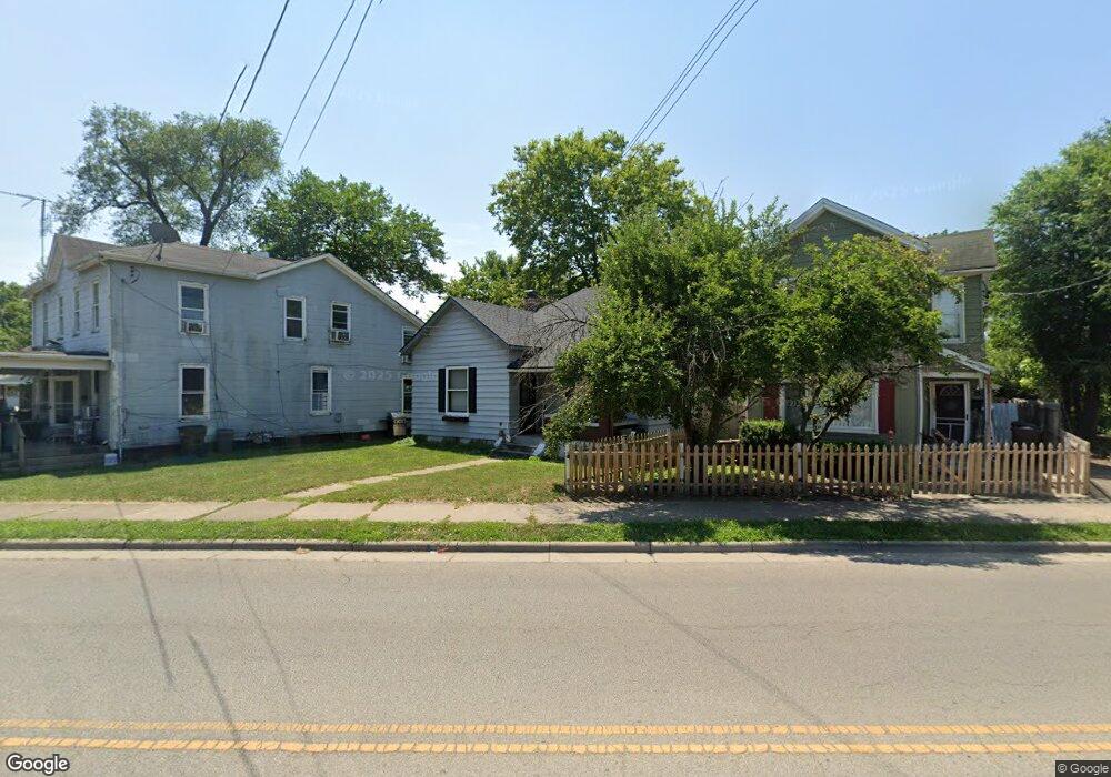
10 S Sutphin St Middletown, OH 45044
Sherman NeighborhoodEstimated Value: $92,000 - $148,000
3
Beds
1
Bath
976
Sq Ft
$124/Sq Ft
Est. Value
About This Home
This home is located at 10 S Sutphin St, Middletown, OH 45044 and is currently estimated at $121,436, approximately $124 per square foot. 10 S Sutphin St is a home located in Butler County with nearby schools including Amanda Elementary School, Highview 6th Grade Center, and Middletown Middle School.
Ownership History
Date
Name
Owned For
Owner Type
Purchase Details
Closed on
Jul 1, 2019
Sold by
Freya Enterprise Llc
Bought by
House On Hudson Llc
Current Estimated Value
Purchase Details
Closed on
Oct 17, 2017
Sold by
Netherly Joann and Netherly Barbara Joann
Bought by
Freya Enterprise Llc
Purchase Details
Closed on
Nov 28, 2016
Sold by
Netherly Wayne
Bought by
Joann Netherly
Purchase Details
Closed on
May 1, 1993
Bought by
Netherly Wayne
Create a Home Valuation Report for This Property
The Home Valuation Report is an in-depth analysis detailing your home's value as well as a comparison with similar homes in the area
Home Values in the Area
Average Home Value in this Area
Purchase History
| Date | Buyer | Sale Price | Title Company |
|---|---|---|---|
| House On Hudson Llc | -- | None Available | |
| Freya Enterprise Llc | $17,300 | American Homeland Title | |
| Joann Netherly | -- | -- | |
| Netherly Wayne | $29,000 | -- |
Source: Public Records
Tax History Compared to Growth
Tax History
| Year | Tax Paid | Tax Assessment Tax Assessment Total Assessment is a certain percentage of the fair market value that is determined by local assessors to be the total taxable value of land and additions on the property. | Land | Improvement |
|---|---|---|---|---|
| 2024 | $1,583 | $19,310 | $3,920 | $15,390 |
| 2023 | $1,017 | $19,460 | $3,920 | $15,540 |
| 2022 | $832 | $13,950 | $3,920 | $10,030 |
| 2021 | $800 | $13,950 | $3,920 | $10,030 |
| 2020 | $834 | $13,950 | $3,920 | $10,030 |
| 2019 | $526 | $8,310 | $3,760 | $4,550 |
| 2018 | $538 | $8,310 | $3,760 | $4,550 |
| 2017 | $539 | $8,310 | $3,760 | $4,550 |
| 2016 | $491 | $7,250 | $3,760 | $3,490 |
| 2015 | $484 | $7,250 | $3,760 | $3,490 |
| 2014 | $954 | $7,250 | $3,760 | $3,490 |
| 2013 | $954 | $15,530 | $3,760 | $11,770 |
Source: Public Records
Map
Nearby Homes
- 2016 Linden Ave
- 2007 Central Ave
- 2112 Central Ave
- 2113 Central Ave
- 2115 Central Ave
- 2119 Central Ave
- 319 Moore St
- 113 N Sutphin St
- 1814.5 Logan Ave
- 2208 Superior Ave
- 408 Moore St
- 410 Moore St
- 19 Mckinley St
- 401 S Sutphin St
- 206 N Sutphin St
- 407 S Sutphin St
- 211 Harrison St
- 2124 Sherman Ave
- 1814 Logan Ave
- 6800 Fielders Way
- 8 S Sutphin St
- 12 S Sutphin St
- 2015 Linden Ave
- 16 S Sutphin St
- 2011 Linden Ave
- 2009 Linden Ave
- 2020 Central Ave
- 2018 Central Ave
- 9 S Sutphin St
- 2007 Linden Ave
- 2024 Central Ave
- 11 S Sutphin St
- 11 S Sutphin St Unit 2
- 101 S Sutphin St
- 2018 Linden Ave
- 2101 Linden Ave
- 2010 Linden Ave
- 2010 Linden Ave
- 2028 Central Ave
- 2012 Linden Ave