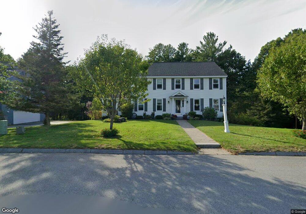
10 Salmon Brook Dr Nashua, NH 03062
Southwest Nashua NeighborhoodEstimated Value: $709,947 - $847,000
4
Beds
3
Baths
2,656
Sq Ft
$292/Sq Ft
Est. Value
About This Home
This home is located at 10 Salmon Brook Dr, Nashua, NH 03062 and is currently estimated at $774,487, approximately $291 per square foot. 10 Salmon Brook Dr is a home located in Hillsborough County with nearby schools including Bicentennial Elementary School, Fairgrounds Middle School, and Nashua High School South.
Ownership History
Date
Name
Owned For
Owner Type
Purchase Details
Closed on
Dec 14, 2021
Sold by
Joyce John A and Joyce Susan T
Bought by
Joyce Ft and Joyce
Current Estimated Value
Purchase Details
Closed on
Jun 26, 1998
Sold by
Judson Jeffrey A and Judson Denise L
Bought by
Joyce John A and Joyce Susan T
Home Financials for this Owner
Home Financials are based on the most recent Mortgage that was taken out on this home.
Original Mortgage
$203,000
Interest Rate
7.09%
Mortgage Type
Purchase Money Mortgage
Create a Home Valuation Report for This Property
The Home Valuation Report is an in-depth analysis detailing your home's value as well as a comparison with similar homes in the area
Home Values in the Area
Average Home Value in this Area
Purchase History
| Date | Buyer | Sale Price | Title Company |
|---|---|---|---|
| Joyce Ft | -- | None Available | |
| Joyce John A | $271,000 | -- |
Source: Public Records
Mortgage History
| Date | Status | Borrower | Loan Amount |
|---|---|---|---|
| Previous Owner | Joyce John A | $203,000 |
Source: Public Records
Tax History Compared to Growth
Tax History
| Year | Tax Paid | Tax Assessment Tax Assessment Total Assessment is a certain percentage of the fair market value that is determined by local assessors to be the total taxable value of land and additions on the property. | Land | Improvement |
|---|---|---|---|---|
| 2024 | $11,208 | $704,900 | $209,900 | $495,000 |
| 2023 | $9,717 | $533,000 | $116,800 | $416,200 |
| 2022 | $9,631 | $533,000 | $116,800 | $416,200 |
| 2021 | $10,667 | $459,400 | $163,600 | $295,800 |
| 2020 | $10,387 | $459,400 | $163,600 | $295,800 |
| 2019 | $9,997 | $459,400 | $163,600 | $295,800 |
| 2018 | $9,744 | $459,400 | $163,600 | $295,800 |
| 2017 | $10,306 | $399,600 | $148,400 | $251,200 |
| 2016 | $10,018 | $399,600 | $148,400 | $251,200 |
| 2015 | $9,802 | $399,600 | $148,400 | $251,200 |
| 2014 | $9,610 | $399,600 | $148,400 | $251,200 |
Source: Public Records
Map
Nearby Homes
- 10 Lamb Rd
- 51 Legacy Dr
- 285 E Dunstable Rd
- 31 Tenby Dr
- 18 Cadogan Way Unit UY250
- 32 Cadogan Way Unit UZ257
- 57 Wethersfield Rd
- 7 Doucet Ave
- 16 Mountain Laurels Dr Unit 402
- 8 Hikers Ln
- 4 Hikers Ln
- 19 Georgetown Dr
- 61 Wilderness Dr
- 59 Wilderness Dr
- 65 Wilderness Dr
- 57 Wilderness Dr
- 50 Wilderness Dr
- 6 Wilderness Dr
- 4 Wilderness Dr
- 3 Wilderness Dr
- 8 Salmon Brook Dr
- 12 Salmon Brook Dr
- 10 Indian Fern Dr
- 6 Salmon Brook Dr
- 17 Indian Fern Dr
- 14 Salmon Brook Dr
- 7 Salmon Brook Dr
- 16 Salmon Brook Dr
- 8 Indian Fern Dr
- 15 Indian Fern Dr
- 11 Indian Fern Dr
- 1 Rainbow Dr
- 5 Salmon Brook Dr
- 17 Salmon Brook Dr
- 18 Salmon Brook Dr
- 6 Indian Fern Dr
- 9 Indian Fern Dr
- 4 Rainbow Dr
- 2 Salmon Brook Dr
- 3 Rainbow Dr