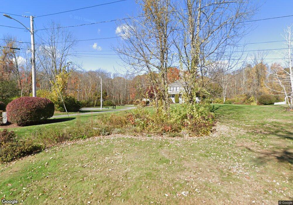
10 Sanclemente Cir Milford, MA 01757
Estimated Value: $792,000 - $864,000
4
Beds
3
Baths
2,668
Sq Ft
$308/Sq Ft
Est. Value
About This Home
This home is located at 10 Sanclemente Cir, Milford, MA 01757 and is currently estimated at $821,404, approximately $307 per square foot. 10 Sanclemente Cir is a home located in Worcester County with nearby schools including Milford High School.
Ownership History
Date
Name
Owned For
Owner Type
Purchase Details
Closed on
May 6, 1999
Sold by
F&D Central Realty Co
Bought by
Palmer John D and Palmer Michelle A
Current Estimated Value
Home Financials for this Owner
Home Financials are based on the most recent Mortgage that was taken out on this home.
Original Mortgage
$160,000
Outstanding Balance
$40,930
Interest Rate
6.92%
Mortgage Type
Purchase Money Mortgage
Estimated Equity
$780,474
Create a Home Valuation Report for This Property
The Home Valuation Report is an in-depth analysis detailing your home's value as well as a comparison with similar homes in the area
Home Values in the Area
Average Home Value in this Area
Purchase History
| Date | Buyer | Sale Price | Title Company |
|---|---|---|---|
| Palmer John D | $280,150 | -- |
Source: Public Records
Mortgage History
| Date | Status | Borrower | Loan Amount |
|---|---|---|---|
| Open | Palmer John D | $74,200 | |
| Open | Palmer John D | $160,000 |
Source: Public Records
Tax History Compared to Growth
Tax History
| Year | Tax Paid | Tax Assessment Tax Assessment Total Assessment is a certain percentage of the fair market value that is determined by local assessors to be the total taxable value of land and additions on the property. | Land | Improvement |
|---|---|---|---|---|
| 2025 | $9,178 | $717,000 | $265,200 | $451,800 |
| 2024 | $9,130 | $687,000 | $256,500 | $430,500 |
| 2023 | $8,578 | $593,600 | $217,400 | $376,200 |
| 2022 | $8,198 | $532,700 | $202,100 | $330,600 |
| 2021 | $7,913 | $495,200 | $202,100 | $293,100 |
| 2020 | $7,825 | $490,300 | $202,100 | $288,200 |
| 2019 | $7,658 | $463,000 | $202,100 | $260,900 |
| 2018 | $7,493 | $452,500 | $197,800 | $254,700 |
| 2017 | $7,289 | $434,100 | $197,800 | $236,300 |
| 2016 | $7,200 | $419,100 | $197,800 | $221,300 |
| 2015 | $7,241 | $412,600 | $197,800 | $214,800 |
Source: Public Records
Map
Nearby Homes
- 31 Haven St
- 3 Bradford Rd
- 1 Tyler St
- 278 Purchase St
- 24 Camp St
- 0 Mcgill Ln
- 58 Village Cir
- 15 Emerson Ln Unit U 15
- 9 Robin Rd
- 18 Shadowbrook Ln Unit 40
- 19 Shadowbrook Ln Unit 13
- 54 Village Cir Unit 54
- 13 Hemlock Ln
- 4 Shadowbrook Ln Unit 31
- 8 Shadowbrook Ln Unit 39
- 9 Shadowbrook Ln Unit 27
- 114 Walden Way Unit 114
- 61 Sunset Dr
- 4 Kennedy Ln Unit 49
- 7 Shadowbrook Ln Unit 9