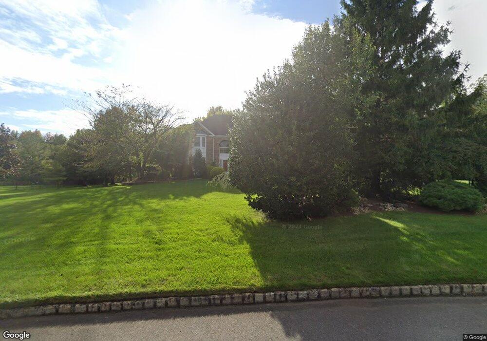
10 Shadowbrook Dr Colts Neck, NJ 07722
Estimated Value: $1,426,000 - $1,859,000
4
Beds
4
Baths
3,364
Sq Ft
$475/Sq Ft
Est. Value
About This Home
This home is located at 10 Shadowbrook Dr, Colts Neck, NJ 07722 and is currently estimated at $1,596,786, approximately $474 per square foot. 10 Shadowbrook Dr is a home located in Monmouth County with nearby schools including Conover Road School, Cedar Drive Middle School, and Colts Neck High School.
Ownership History
Date
Name
Owned For
Owner Type
Purchase Details
Closed on
Nov 29, 1993
Sold by
Matzel
Bought by
Liu Michael and Yang Lu Jin
Current Estimated Value
Home Financials for this Owner
Home Financials are based on the most recent Mortgage that was taken out on this home.
Original Mortgage
$180,000
Interest Rate
6.78%
Create a Home Valuation Report for This Property
The Home Valuation Report is an in-depth analysis detailing your home's value as well as a comparison with similar homes in the area
Home Values in the Area
Average Home Value in this Area
Purchase History
| Date | Buyer | Sale Price | Title Company |
|---|---|---|---|
| Liu Michael | $440,000 | -- |
Source: Public Records
Mortgage History
| Date | Status | Borrower | Loan Amount |
|---|---|---|---|
| Closed | Liu Michael | $180,000 |
Source: Public Records
Tax History Compared to Growth
Tax History
| Year | Tax Paid | Tax Assessment Tax Assessment Total Assessment is a certain percentage of the fair market value that is determined by local assessors to be the total taxable value of land and additions on the property. | Land | Improvement |
|---|---|---|---|---|
| 2025 | $18,415 | $1,452,100 | $780,900 | $671,200 |
| 2024 | $17,905 | $1,235,900 | $605,500 | $630,400 |
| 2023 | $17,905 | $1,150,700 | $555,900 | $594,800 |
| 2022 | $14,457 | $943,900 | $389,800 | $554,100 |
| 2021 | $14,457 | $828,000 | $387,300 | $440,700 |
| 2020 | $14,151 | $802,200 | $377,300 | $424,900 |
| 2019 | $15,523 | $881,500 | $427,300 | $454,200 |
| 2018 | $15,545 | $875,800 | $427,300 | $448,500 |
| 2017 | $15,127 | $855,100 | $412,300 | $442,800 |
| 2016 | $14,726 | $850,700 | $412,300 | $438,400 |
| 2015 | $14,673 | $845,700 | $418,600 | $427,100 |
| 2014 | $16,283 | $965,200 | $562,200 | $403,000 |
Source: Public Records
Map
Nearby Homes
- 4 Brookside Dr
- 145 Heulitt Rd
- 703 Quail Hill Rd
- 152 Bucks Mill Rd
- 3 Colts Gait Ln
- 17 Woods End Rd
- 784 State Route 34
- 151 Dutch Lane Rd
- 40 New St
- 21 Holly Hill Rd
- 10 Livingston Ct
- 9 Mulberry Ln
- 8 Holling Rd
- 24 Willow Lake Dr
- 5 Pheasant Rd
- 15 Windsor Place
- 233-237 County Road 537
- 0 Hominy Hill Rd
- 249 County Road 537
- 10 Driftwood Ln
- 7 Shadowbrook Dr
- 10 Old Farm Rd
- 2 Sunrise Ct
- 6 Shadowbrook Dr
- 14 Shadowbrook Dr
- 8 Old Farm Rd
- 9 Shadowbrook Dr
- 25 Homestead Dr
- Lot 1 Sunrise Dr
- 4 Sunrise Ct
- 7 Magnolia Ln
- 4 Shadowbrook Dr
- 6 Old Farm Rd
- 1 Sunrise Ct
- 5 Magnolia Ln
- 9 Old Farm Rd
- 4 Meadows Run Dr
- 3 Sunrise Ct
- 7 Old Farm Rd
- 26 Homestead Dr