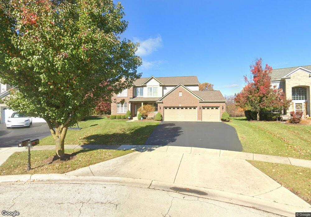
10 Steiner Ct Algonquin, IL 60102
Far West Algonquin NeighborhoodEstimated Value: $490,081 - $585,000
4
Beds
3
Baths
2,782
Sq Ft
$195/Sq Ft
Est. Value
About This Home
This home is located at 10 Steiner Ct, Algonquin, IL 60102 and is currently estimated at $543,020, approximately $195 per square foot. 10 Steiner Ct is a home located in McHenry County with nearby schools including Mackeben Elementary School, Conley Elementary School, and Heineman Middle School.
Ownership History
Date
Name
Owned For
Owner Type
Purchase Details
Closed on
Apr 10, 2019
Sold by
Decal Luisito G and Decal Erlinda M
Bought by
Decal Family Trust
Current Estimated Value
Purchase Details
Closed on
Nov 23, 2005
Sold by
Pulte Homes
Bought by
Decal Luisito G and Decal Erlinda M
Home Financials for this Owner
Home Financials are based on the most recent Mortgage that was taken out on this home.
Original Mortgage
$225,000
Interest Rate
6.17%
Mortgage Type
Fannie Mae Freddie Mac
Create a Home Valuation Report for This Property
The Home Valuation Report is an in-depth analysis detailing your home's value as well as a comparison with similar homes in the area
Home Values in the Area
Average Home Value in this Area
Purchase History
| Date | Buyer | Sale Price | Title Company |
|---|---|---|---|
| Decal Family Trust | -- | -- | |
| Decal Luisito G | $375,000 | -- |
Source: Public Records
Mortgage History
| Date | Status | Borrower | Loan Amount |
|---|---|---|---|
| Previous Owner | Decal Luisito G | $225,000 |
Source: Public Records
Tax History Compared to Growth
Tax History
| Year | Tax Paid | Tax Assessment Tax Assessment Total Assessment is a certain percentage of the fair market value that is determined by local assessors to be the total taxable value of land and additions on the property. | Land | Improvement |
|---|---|---|---|---|
| 2024 | $10,068 | $155,875 | $9,783 | $146,092 |
| 2023 | $9,723 | $140,024 | $8,788 | $131,236 |
| 2022 | $9,439 | $127,503 | $8,002 | $119,501 |
| 2021 | $9,107 | $120,082 | $7,536 | $112,546 |
| 2020 | $8,961 | $116,879 | $7,335 | $109,544 |
| 2019 | $8,717 | $113,895 | $7,148 | $106,747 |
| 2018 | $9,369 | $119,966 | $8,044 | $111,922 |
| 2017 | $9,165 | $113,058 | $7,581 | $105,477 |
| 2016 | $9,239 | $107,490 | $7,208 | $100,282 |
| 2013 | -- | $101,944 | $14,219 | $87,725 |
Source: Public Records
Map
Nearby Homes
- 4351 Bunker Hill Dr
- 9105 Algonquin Rd
- 131 S Annandale Dr
- 5538 Alexandria Dr
- 4020 Bunker Hill Dr
- 11290 Wildridge Ln
- 11300 Wildridge Ln
- 11310 Wildridge Ln
- 11291 Wildridge Ln
- 11320 Wild Ridge Ln
- 11320 Wildridge Ln
- 9946 Edgebrook Ln
- 9956 Edgebrook Ln
- 9927 Edgebrook Ln
- 9966 Edgebrook Ln
- 9937 Edgebrook Ln
- 9976 Edgebrook Ln
- 9947 Edgebrook Ln
- 11331 Wildridge Ln
- 9957 Edgebrook Ln
- 8 Steiner Ct
- 12 Steiner Ct
- 6 Steiner Ct
- 11 Steiner Ct
- 9 Steiner Ct
- 4 Steiner Ct
- 7 Steiner Ct
- 5 Steiner Ct
- 3 Steiner Ct
- 2 Steiner Ct
- 1 Steiner Ct
- 420 Wedgewood Cir
- 400 Wedgewood Cir
- 410 Wedgewood Cir
- 430 Wedgewood Cir
- 390 Wedgewood Cir
- 380 Wedgewood Cir
- 440 Wedgewood Cir
- 2 Benton Ct
- 108 S Lakewood Rd