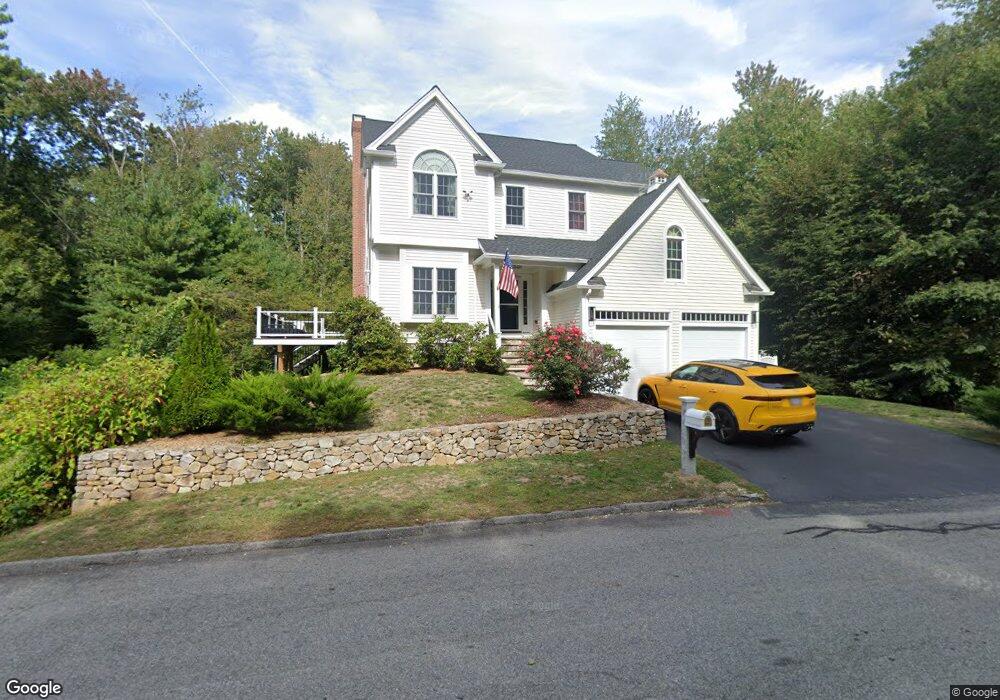
10 Tall Tree Dr Beverly, MA 01915
Beverly Cove NeighborhoodEstimated Value: $1,165,000 - $1,725,000
4
Beds
3
Baths
3,522
Sq Ft
$396/Sq Ft
Est. Value
About This Home
This home is located at 10 Tall Tree Dr, Beverly, MA 01915 and is currently estimated at $1,394,565, approximately $395 per square foot. 10 Tall Tree Dr is a home located in Essex County with nearby schools including Beverly High School, Harborlight Montessori School, and Landmark School.
Ownership History
Date
Name
Owned For
Owner Type
Purchase Details
Closed on
Feb 17, 2005
Sold by
R C Rt and Carnevale
Bought by
Martens Kathleen
Current Estimated Value
Home Financials for this Owner
Home Financials are based on the most recent Mortgage that was taken out on this home.
Original Mortgage
$650,000
Outstanding Balance
$322,128
Interest Rate
5.78%
Mortgage Type
Purchase Money Mortgage
Estimated Equity
$1,072,437
Create a Home Valuation Report for This Property
The Home Valuation Report is an in-depth analysis detailing your home's value as well as a comparison with similar homes in the area
Home Values in the Area
Average Home Value in this Area
Purchase History
| Date | Buyer | Sale Price | Title Company |
|---|---|---|---|
| Martens Kathleen | $820,000 | -- |
Source: Public Records
Mortgage History
| Date | Status | Borrower | Loan Amount |
|---|---|---|---|
| Open | Martens Kathleen | $174,000 | |
| Open | Martens Kathleen | $650,000 | |
| Closed | Martens Kathleen | $129,000 |
Source: Public Records
Tax History
| Year | Tax Paid | Tax Assessment Tax Assessment Total Assessment is a certain percentage of the fair market value that is determined by local assessors to be the total taxable value of land and additions on the property. | Land | Improvement |
|---|---|---|---|---|
| 2025 | $9,699 | $882,500 | $335,900 | $546,600 |
| 2024 | $9,425 | $839,300 | $295,200 | $544,100 |
| 2023 | $9,329 | $828,500 | $284,400 | $544,100 |
| 2022 | $9,006 | $740,000 | $192,300 | $547,700 |
| 2021 | $8,814 | $694,000 | $184,200 | $509,800 |
| 2020 | $8,086 | $716,200 | $206,400 | $509,800 |
| 2019 | $8,003 | $681,100 | $208,000 | $473,100 |
| 2018 | $8,956 | $658,500 | $223,400 | $435,100 |
| 2017 | $9,058 | $634,300 | $190,700 | $443,600 |
| 2016 | $9,128 | $634,300 | $190,700 | $443,600 |
| 2015 | $8,950 | $634,300 | $190,700 | $443,600 |
Source: Public Records
Map
Nearby Homes
Your Personal Tour Guide
Ask me questions while you tour the home.