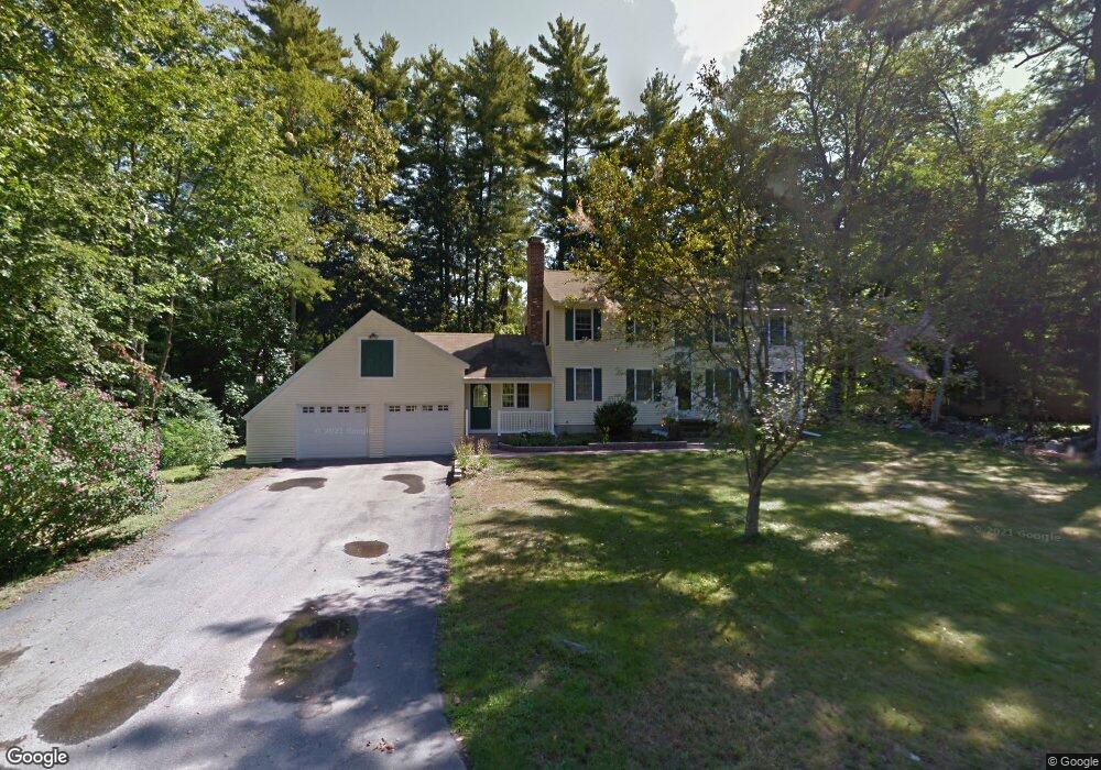
10 Tenby Dr Nashua, NH 03062
Southwest Nashua NeighborhoodEstimated Value: $656,557 - $769,000
4
Beds
3
Baths
2,920
Sq Ft
$239/Sq Ft
Est. Value
About This Home
This home is located at 10 Tenby Dr, Nashua, NH 03062 and is currently estimated at $696,889, approximately $238 per square foot. 10 Tenby Dr is a home located in Hillsborough County with nearby schools including New Searles School, Fairgrounds Middle School, and Nashua High School South.
Ownership History
Date
Name
Owned For
Owner Type
Purchase Details
Closed on
Jan 10, 2017
Sold by
Kayata Patricia
Bought by
Kayata Ft and Kayata
Current Estimated Value
Purchase Details
Closed on
Mar 10, 2016
Sold by
Kayata Gerard
Bought by
Kayata Patrici
Purchase Details
Closed on
Aug 25, 2008
Sold by
Walch Jeffrey A and Walch Lindy A
Bought by
Kayata Gerard and Kayata Patricia
Home Financials for this Owner
Home Financials are based on the most recent Mortgage that was taken out on this home.
Original Mortgage
$260,000
Interest Rate
6.4%
Mortgage Type
Purchase Money Mortgage
Purchase Details
Closed on
Oct 12, 1999
Sold by
Silverstone Harry A and Silve Sharon A
Bought by
Walch Jeffrey A and Walch Lindy A
Create a Home Valuation Report for This Property
The Home Valuation Report is an in-depth analysis detailing your home's value as well as a comparison with similar homes in the area
Home Values in the Area
Average Home Value in this Area
Purchase History
| Date | Buyer | Sale Price | Title Company |
|---|---|---|---|
| Kayata Ft | -- | -- | |
| Kayata Patrici | -- | -- | |
| Kayata Gerard | $369,900 | -- | |
| Walch Jeffrey A | $183,000 | -- |
Source: Public Records
Mortgage History
| Date | Status | Borrower | Loan Amount |
|---|---|---|---|
| Previous Owner | Walch Jeffrey A | $252,080 | |
| Previous Owner | Walch Jeffrey A | $260,000 | |
| Previous Owner | Walch Jeffrey A | $200,000 | |
| Previous Owner | Walch Jeffrey A | $30,000 |
Source: Public Records
Tax History Compared to Growth
Tax History
| Year | Tax Paid | Tax Assessment Tax Assessment Total Assessment is a certain percentage of the fair market value that is determined by local assessors to be the total taxable value of land and additions on the property. | Land | Improvement |
|---|---|---|---|---|
| 2024 | $9,403 | $591,400 | $170,800 | $420,600 |
| 2023 | $8,838 | $484,800 | $136,700 | $348,100 |
| 2022 | $8,760 | $484,800 | $136,700 | $348,100 |
| 2021 | $8,434 | $363,200 | $91,100 | $272,100 |
| 2020 | $8,212 | $363,200 | $91,100 | $272,100 |
| 2019 | $7,903 | $363,200 | $91,100 | $272,100 |
| 2018 | $7,703 | $363,200 | $91,100 | $272,100 |
| 2017 | $8,144 | $315,800 | $70,800 | $245,000 |
| 2016 | $7,917 | $315,800 | $70,800 | $245,000 |
| 2015 | $7,747 | $315,800 | $70,800 | $245,000 |
| 2014 | $7,595 | $315,800 | $70,800 | $245,000 |
Source: Public Records
Map
Nearby Homes
- 31 Tenby Dr
- 51 Legacy Dr
- 15 Westray Dr
- 18 Cadogan Way Unit UY250
- 32 Cadogan Way Unit UZ257
- 7 Doucet Ave
- 61 Wilderness Dr
- 8 Hikers Ln
- 4 Hikers Ln
- 59 Wilderness Dr
- 57 Wethersfield Rd
- 57 Wilderness Dr
- 6 Wilderness Dr
- 10 Lamb Rd
- 3 Wilderness Dr
- 7 Wilderness Dr
- 65 Wilderness Dr
- 79 Wilderness Dr
- 4 Wilderness Dr
- 62 Stillwater Dr Unit U135