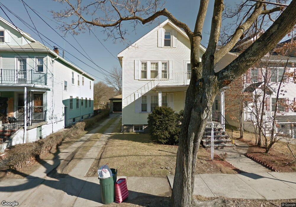
10 Waldo Rd Unit 12 Arlington, MA 02474
East Arlington NeighborhoodEstimated Value: $1,180,000 - $1,412,397
4
Beds
2
Baths
2,531
Sq Ft
$510/Sq Ft
Est. Value
About This Home
This home is located at 10 Waldo Rd Unit 12, Arlington, MA 02474 and is currently estimated at $1,290,599, approximately $509 per square foot. 10 Waldo Rd Unit 12 is a home located in Middlesex County with nearby schools including Thompson School, Hardy Elementary School, and Ottoson Middle School.
Ownership History
Date
Name
Owned For
Owner Type
Purchase Details
Closed on
Nov 21, 2022
Sold by
Spadaro Francis J and Spadaro Barbara A
Bought by
Spadaro Ret
Current Estimated Value
Purchase Details
Closed on
Nov 22, 2004
Sold by
Spadaro Barbara Ann
Bought by
Spadaro Barbara Ann and Spadaro Francis Joseph
Purchase Details
Closed on
Dec 29, 1962
Bought by
Spadaro Francis J and Spadaro Barbara A
Create a Home Valuation Report for This Property
The Home Valuation Report is an in-depth analysis detailing your home's value as well as a comparison with similar homes in the area
Home Values in the Area
Average Home Value in this Area
Purchase History
| Date | Buyer | Sale Price | Title Company |
|---|---|---|---|
| Spadaro Ret | -- | None Available | |
| Spadaro Barbara Ann | -- | -- | |
| Spadaro Francis J | -- | -- |
Source: Public Records
Mortgage History
| Date | Status | Borrower | Loan Amount |
|---|---|---|---|
| Previous Owner | Spadaro Francis J | $26,000 |
Source: Public Records
Tax History Compared to Growth
Tax History
| Year | Tax Paid | Tax Assessment Tax Assessment Total Assessment is a certain percentage of the fair market value that is determined by local assessors to be the total taxable value of land and additions on the property. | Land | Improvement |
|---|---|---|---|---|
| 2025 | $12,131 | $1,126,400 | $574,100 | $552,300 |
| 2024 | $11,206 | $1,058,200 | $546,500 | $511,700 |
| 2023 | $11,300 | $1,008,000 | $458,200 | $549,800 |
| 2022 | $11,265 | $986,400 | $441,600 | $544,800 |
| 2021 | $10,906 | $961,700 | $441,600 | $520,100 |
| 2020 | $10,636 | $961,700 | $441,600 | $520,100 |
| 2019 | $9,657 | $857,600 | $469,200 | $388,400 |
| 2018 | $8,862 | $730,600 | $342,200 | $388,400 |
| 2017 | $8,320 | $662,400 | $298,100 | $364,300 |
| 2016 | $7,913 | $618,200 | $253,900 | $364,300 |
| 2015 | $7,763 | $572,900 | $248,400 | $324,500 |
Source: Public Records
Map
Nearby Homes
- 215 Massachusetts Ave Unit 19 (34)
- 230 Massachusetts Ave Unit 6
- 57 Garrison Ave
- 6 Hamilton Rd Unit 6
- 34 Belknap St
- 235 Powder House Blvd
- 16 High St Unit 2
- 23 Yale Rd
- 327 Alewife Brook Pkwy Unit A
- 42-44 Warren St Unit 42
- 21 High St
- 6 Gordon Rd
- 11 Watson St Unit 1
- 11 Watson St Unit 2
- 12 Arizona Terrace Unit 2
- 202 Powder House Blvd Unit 2
- 69 Sterling St
- 3 Seagrave Rd
- 25-27 Adams St
- 29 Dartmouth St Unit 29
- 14 Waldo Rd Unit 16
- 14 Waldo Rd Unit 14
- 6 Waldo Rd Unit 1
- 68 Waldo Rd
- 16 Waldo Rd
- 20 Waldo Rd Unit 2
- 20 Waldo Rd
- 18 Waldo Rd
- 63 Marathon St
- 82 Trowbridge St Unit 84
- 84 Trowbridge St Unit 2
- 67 Marathon St
- 7 Waldo Rd Unit Rd
- 7 Waldo Rd Unit St
- 53 Marathon St
- 53 Marathon St Unit St
- 53 Marathon St Unit 2
- 53 Marathon St Unit 1
- 22 Waldo Rd Unit 24
- 80 Trowbridge St