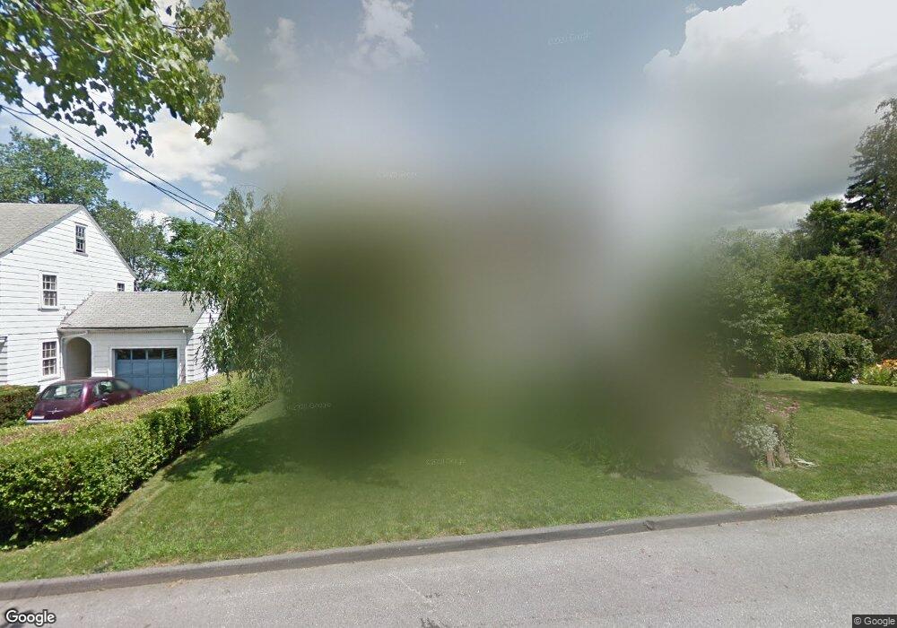
10 Waycross St Worcester, MA 01605
Forest Grove NeighborhoodEstimated Value: $435,000 - $482,000
4
Beds
2
Baths
1,600
Sq Ft
$291/Sq Ft
Est. Value
About This Home
This home is located at 10 Waycross St, Worcester, MA 01605 and is currently estimated at $465,514, approximately $290 per square foot. 10 Waycross St is a home located in Worcester County with nearby schools including Nelson Place Elementary School, Jacob Hiatt Magnet School, and Chandler Magnet.
Ownership History
Date
Name
Owned For
Owner Type
Purchase Details
Closed on
Oct 3, 2000
Sold by
Lepage Susan E
Bought by
Bergeron Gerard M
Current Estimated Value
Purchase Details
Closed on
Jan 14, 1993
Sold by
Heldman Paul P and Heldman Jewel B
Bought by
Reed Stephen D and Reed Kathleen O
Create a Home Valuation Report for This Property
The Home Valuation Report is an in-depth analysis detailing your home's value as well as a comparison with similar homes in the area
Home Values in the Area
Average Home Value in this Area
Purchase History
| Date | Buyer | Sale Price | Title Company |
|---|---|---|---|
| Bergeron Gerard M | $35,000 | -- | |
| Lepage Susan E | $152,000 | -- | |
| Reed Stephen D | $127,500 | -- |
Source: Public Records
Mortgage History
| Date | Status | Borrower | Loan Amount |
|---|---|---|---|
| Open | Reed Stephen D | $50,000 | |
| Open | Reed Stephen D | $132,000 | |
| Closed | Reed Stephen D | $17,000 |
Source: Public Records
Tax History Compared to Growth
Tax History
| Year | Tax Paid | Tax Assessment Tax Assessment Total Assessment is a certain percentage of the fair market value that is determined by local assessors to be the total taxable value of land and additions on the property. | Land | Improvement |
|---|---|---|---|---|
| 2025 | $5,284 | $400,600 | $122,400 | $278,200 |
| 2024 | $5,188 | $377,300 | $122,400 | $254,900 |
| 2023 | $4,957 | $345,700 | $105,400 | $240,300 |
| 2022 | $4,561 | $299,900 | $84,400 | $215,500 |
| 2021 | $4,412 | $271,000 | $67,500 | $203,500 |
| 2020 | $4,279 | $251,700 | $67,300 | $184,400 |
| 2019 | $4,194 | $233,000 | $64,800 | $168,200 |
| 2018 | $4,179 | $221,000 | $64,800 | $156,200 |
| 2017 | $4,030 | $209,700 | $64,800 | $144,900 |
| 2016 | $4,058 | $196,900 | $52,400 | $144,500 |
| 2015 | $3,952 | $196,900 | $52,400 | $144,500 |
| 2014 | $3,842 | $196,600 | $52,400 | $144,200 |
Source: Public Records
Map
Nearby Homes
- 577 Grove St
- 0 Grove St
- 612 Grove St
- 11 Holden St
- 28 Holden St
- 12 Alexander Rd
- 667 Grove St
- 46 Hastings Ave
- 42 Hastings Ave
- 40 Westwood Dr
- 40 Hastings Ave
- 8 Old Colony Rd
- 26 Tower St
- 11 Gifford Dr
- 4 Wheeler Ave
- 15 Boardman St
- 89 W Boylston St Unit 4
- 87 W Boylston St
- 93 W Boylston St
- 477 Salisbury St