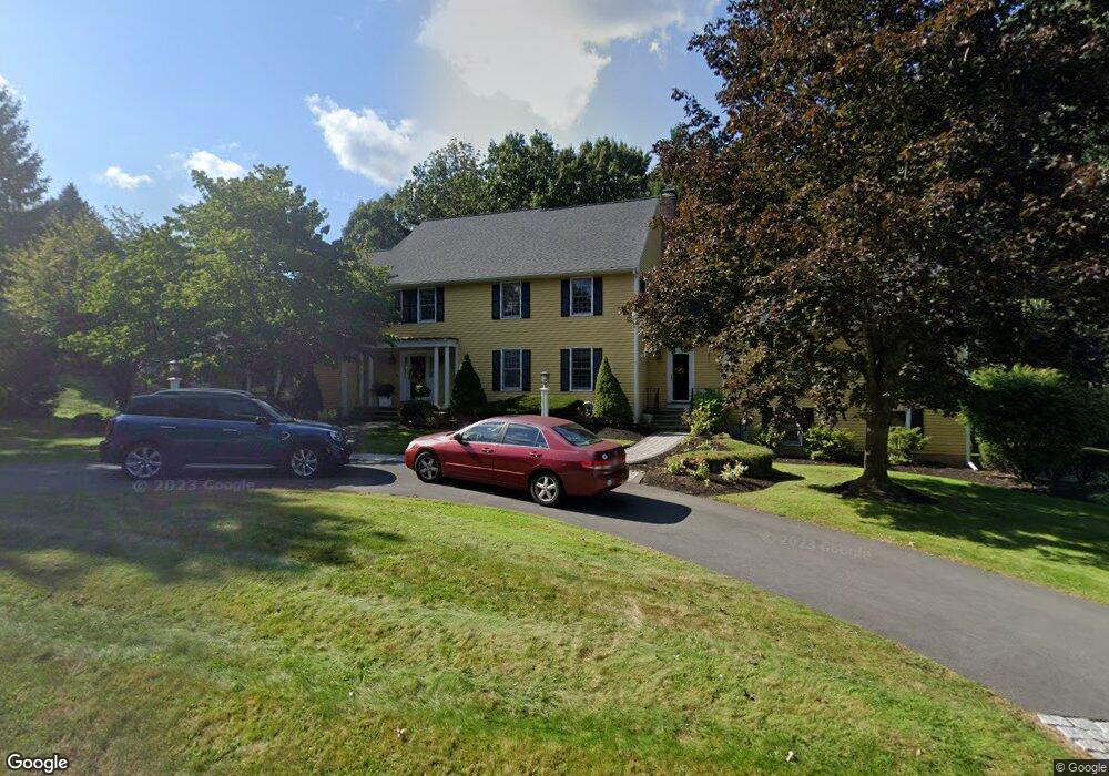
10 Westminster Roadway Andover, MA 01810
Shawsheen Heights NeighborhoodEstimated Value: $1,620,155 - $1,972,000
4
Beds
4
Baths
4,033
Sq Ft
$434/Sq Ft
Est. Value
About This Home
This home is located at 10 Westminster Roadway, Andover, MA 01810 and is currently estimated at $1,750,789, approximately $434 per square foot. 10 Westminster Roadway is a home located in Essex County with nearby schools including West Elementary School, Andover West Middle School, and Andover High School.
Ownership History
Date
Name
Owned For
Owner Type
Purchase Details
Closed on
Oct 30, 2009
Sold by
Tiney Laurence B
Bought by
Larney Raymond D and Larney Kerry A
Current Estimated Value
Home Financials for this Owner
Home Financials are based on the most recent Mortgage that was taken out on this home.
Original Mortgage
$450,000
Outstanding Balance
$292,348
Interest Rate
5.06%
Mortgage Type
Purchase Money Mortgage
Estimated Equity
$1,458,441
Purchase Details
Closed on
Feb 25, 1994
Sold by
Kenley Richard A
Bought by
Tiney Laurence B
Purchase Details
Closed on
Jun 11, 1991
Sold by
Leong Ronald D
Bought by
Kenley Anji Borzo
Purchase Details
Closed on
Sep 1, 1987
Sold by
Ca Investment Trust
Bought by
Leong Ronald D
Create a Home Valuation Report for This Property
The Home Valuation Report is an in-depth analysis detailing your home's value as well as a comparison with similar homes in the area
Home Values in the Area
Average Home Value in this Area
Purchase History
| Date | Buyer | Sale Price | Title Company |
|---|---|---|---|
| Larney Raymond D | $840,000 | -- | |
| Larney Raymond D | $840,000 | -- | |
| Tiney Laurence B | $499,000 | -- | |
| Tiney Laurence B | $499,000 | -- | |
| Kenley Anji Borzo | $425,000 | -- | |
| Kenley Anji Borzo | $425,000 | -- | |
| Leong Ronald D | $560,000 | -- |
Source: Public Records
Mortgage History
| Date | Status | Borrower | Loan Amount |
|---|---|---|---|
| Open | Larney Raymond D | $450,000 | |
| Closed | Leong Ronald D | $450,000 | |
| Previous Owner | Leong Ronald D | $1,183,000 |
Source: Public Records
Tax History Compared to Growth
Tax History
| Year | Tax Paid | Tax Assessment Tax Assessment Total Assessment is a certain percentage of the fair market value that is determined by local assessors to be the total taxable value of land and additions on the property. | Land | Improvement |
|---|---|---|---|---|
| 2024 | $19,196 | $1,490,400 | $674,300 | $816,100 |
| 2023 | $17,968 | $1,315,400 | $576,300 | $739,100 |
| 2022 | $17,225 | $1,179,800 | $519,100 | $660,700 |
| 2021 | $16,527 | $1,080,900 | $472,000 | $608,900 |
| 2020 | $16,086 | $1,071,700 | $472,000 | $599,700 |
| 2019 | $15,737 | $1,030,600 | $439,900 | $590,700 |
| 2018 | $15,201 | $971,900 | $427,000 | $544,900 |
| 2017 | $14,612 | $962,600 | $418,600 | $544,000 |
| 2016 | $14,313 | $965,800 | $418,600 | $547,200 |
| 2015 | -- | $931,800 | $418,600 | $513,200 |
Source: Public Records
Map
Nearby Homes
- 25 Clubview Dr Unit 25
- 13 Clubview Dr Unit 13
- 37 Crenshaw Ln Unit 37
- 21 Clubview Dr Unit 21
- 38 Lincoln Cir E
- 10 Martingale Ln Unit 10
- 6 Windsor St
- 5 Castle Heights Rd
- 42 Stevens St
- 24 York St
- 2 Powder Mill Square Unit 2B
- 96 Beacon St
- 102 Weare St
- 437 N Main St Unit C
- 5 Marc Ln
- 20 Walnut Ave
- 156 High St
- 0
- 29 Glenwood Dr
- 34 Leeds Terrace