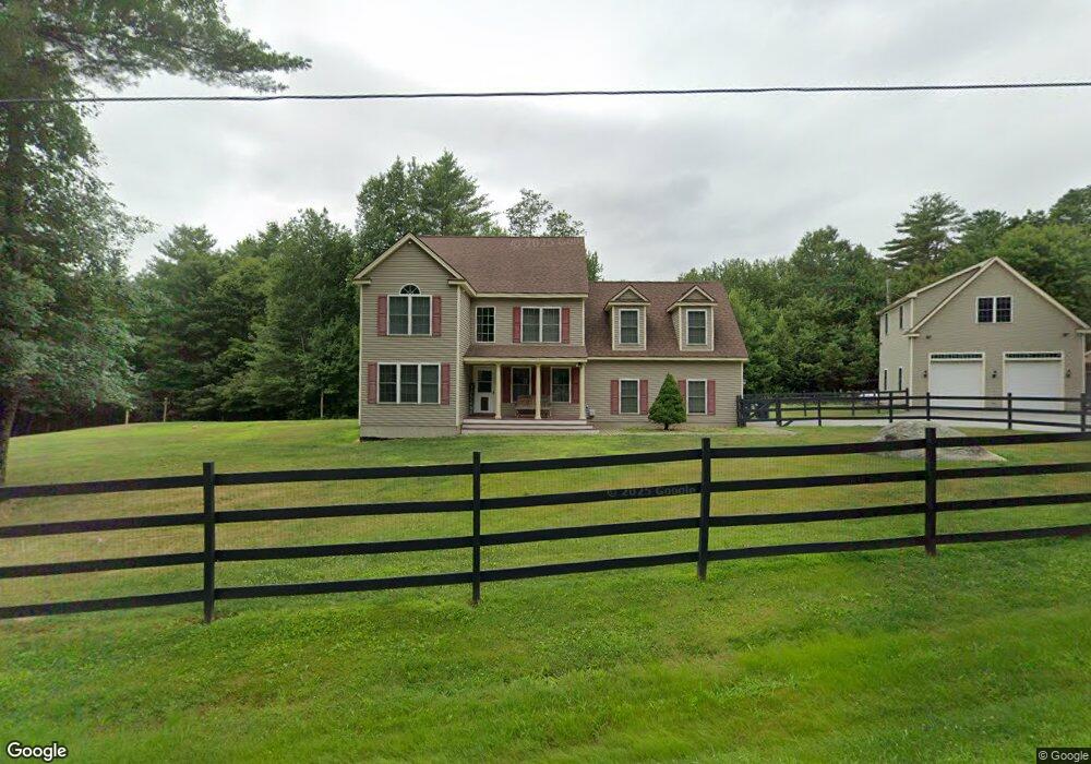
10 Woodridge Dr Allenstown, NH 03275
Estimated Value: $577,000 - $799,100
4
Beds
3
Baths
3,058
Sq Ft
$217/Sq Ft
Est. Value
About This Home
This home is located at 10 Woodridge Dr, Allenstown, NH 03275 and is currently estimated at $663,025, approximately $216 per square foot. 10 Woodridge Dr is a home located in Merrimack County with nearby schools including Allenstown Elementary School and Armand R. Dupont School.
Ownership History
Date
Name
Owned For
Owner Type
Purchase Details
Closed on
Apr 15, 2005
Sold by
Persimmon Builders Llc
Bought by
Ash Michael J
Current Estimated Value
Home Financials for this Owner
Home Financials are based on the most recent Mortgage that was taken out on this home.
Original Mortgage
$62,500
Interest Rate
5.78%
Mortgage Type
Unknown
Create a Home Valuation Report for This Property
The Home Valuation Report is an in-depth analysis detailing your home's value as well as a comparison with similar homes in the area
Home Values in the Area
Average Home Value in this Area
Purchase History
| Date | Buyer | Sale Price | Title Company |
|---|---|---|---|
| Ash Michael J | $312,500 | -- | |
| Ash Michael J | $312,500 | -- |
Source: Public Records
Mortgage History
| Date | Status | Borrower | Loan Amount |
|---|---|---|---|
| Open | Ash Michael J | $584,000 | |
| Closed | Ash Michael J | $365,500 | |
| Closed | Ash Michael J | $62,500 | |
| Closed | Ash Michael J | $250,000 |
Source: Public Records
Tax History Compared to Growth
Tax History
| Year | Tax Paid | Tax Assessment Tax Assessment Total Assessment is a certain percentage of the fair market value that is determined by local assessors to be the total taxable value of land and additions on the property. | Land | Improvement |
|---|---|---|---|---|
| 2024 | $15,369 | $604,600 | $164,700 | $439,900 |
| 2023 | $12,818 | $604,600 | $164,700 | $439,900 |
| 2022 | $11,790 | $604,600 | $164,700 | $439,900 |
| 2021 | $12,011 | $381,300 | $98,300 | $283,000 |
| 2020 | $11,172 | $381,300 | $98,300 | $283,000 |
| 2019 | $11,858 | $381,300 | $98,300 | $283,000 |
| 2018 | $11,496 | $381,300 | $98,300 | $283,000 |
| 2017 | $12,244 | $381,300 | $98,300 | $283,000 |
| 2016 | $10,429 | $308,000 | $68,600 | $239,400 |
| 2015 | $10,112 | $308,000 | $68,600 | $239,400 |
| 2014 | $10,404 | $308,000 | $68,600 | $239,400 |
| 2013 | $9,711 | $308,000 | $68,600 | $239,400 |
Source: Public Records
Map
Nearby Homes
- 348 Deerfield Rd
- 79 Chestnut Dr
- 409 Deerfield Rd
- 47 Chestnut Dr
- 32 Mount Delight Rd
- 22 Mount Delight Rd
- 43 Catamount Hill Dr
- 8 Bush Ave
- 25 Howards Ln
- 238 New Rye Rd
- 6 Jackson Ave
- 30 Pine St
- 15 Elm St
- 105 Mount Delight Rd
- 87 Mount Delight Rd
- 550 Buck St
- 18 Queens Ln
- 8 Lance Ln
- 244 Suncook Valley Hwy
- 172 South Rd
- 358 Deerfield Rd
- 368 Deerfield Rd
- 359 Deerfield Rd
- 352 Deerfield Rd
- 365 Deerfield Rd
- 355 Deerfield Rd
- 15 Woodridge Dr
- 16 Woodridge Dr
- 367 Deerfield Rd
- 344 Deerfield Rd
- 372 Deerfield Rd
- 371 Deerfield Rd
- 378 Deerfield Rd
- 37 Birchwood Dr
- 18 Clearview Dr
- 375 Deerfield Rd
- 22 Woodridge Dr
- 31 Birchwood Dr
- 19 Birchwood Dr
- 341 Deerfield Rd