10 Wyart Rd Gill, MA 01354
Gill NeighborhoodEstimated Value: $163,000 - $332,000
3
Beds
1
Bath
1,066
Sq Ft
$255/Sq Ft
Est. Value
About This Home
This home is located at 10 Wyart Rd, Gill, MA 01354 and is currently estimated at $271,858, approximately $255 per square foot. 10 Wyart Rd is a home located in Franklin County with nearby schools including Four Winds School and Stoneleigh-Burnham School.
Ownership History
Date
Name
Owned For
Owner Type
Purchase Details
Closed on
Oct 11, 2007
Sold by
Haskell Clifford H and Sears Wanita
Bought by
Haskell James K
Current Estimated Value
Home Financials for this Owner
Home Financials are based on the most recent Mortgage that was taken out on this home.
Original Mortgage
$110,000
Outstanding Balance
$69,676
Interest Rate
6.49%
Mortgage Type
Purchase Money Mortgage
Estimated Equity
$202,182
Purchase Details
Closed on
Jul 11, 2006
Sold by
Haskell Clifford H
Bought by
Haskell James and Haskell Naomi
Create a Home Valuation Report for This Property
The Home Valuation Report is an in-depth analysis detailing your home's value as well as a comparison with similar homes in the area
Home Values in the Area
Average Home Value in this Area
Purchase History
| Date | Buyer | Sale Price | Title Company |
|---|---|---|---|
| Haskell James K | -- | -- | |
| Haskell James | -- | -- |
Source: Public Records
Mortgage History
| Date | Status | Borrower | Loan Amount |
|---|---|---|---|
| Open | Haskell James K | $110,000 |
Source: Public Records
Tax History Compared to Growth
Tax History
| Year | Tax Paid | Tax Assessment Tax Assessment Total Assessment is a certain percentage of the fair market value that is determined by local assessors to be the total taxable value of land and additions on the property. | Land | Improvement |
|---|---|---|---|---|
| 2025 | $3,001 | $204,700 | $64,000 | $140,700 |
| 2024 | $2,831 | $182,900 | $58,200 | $124,700 |
| 2023 | $2,707 | $162,500 | $53,000 | $109,500 |
| 2022 | $2,707 | $162,500 | $53,000 | $109,500 |
| 2021 | $2,791 | $161,400 | $53,000 | $108,400 |
| 2020 | $2,675 | $155,100 | $53,000 | $102,100 |
| 2019 | $2,504 | $145,100 | $50,600 | $94,500 |
| 2018 | $2,405 | $140,000 | $50,600 | $89,400 |
| 2017 | $2,321 | $140,000 | $50,600 | $89,400 |
| 2016 | $2,509 | $148,900 | $65,800 | $83,100 |
| 2015 | $2,467 | $146,400 | $65,800 | $80,600 |
Source: Public Records
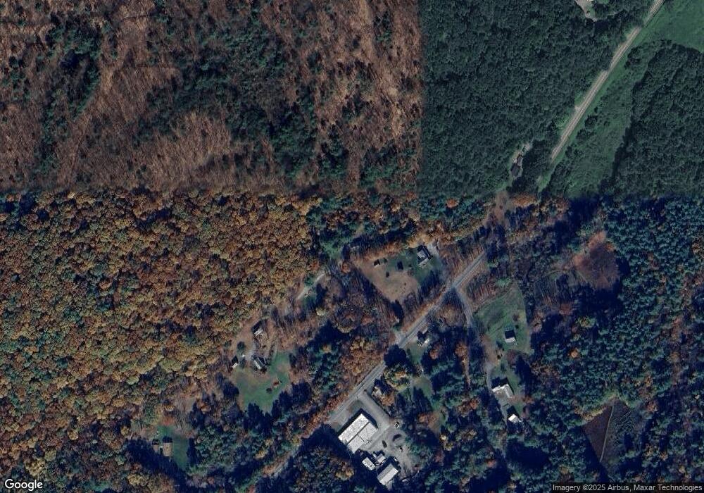
Map
Nearby Homes
- 182 Main Rd
- 001 Adams Rd
- 21 Hillside Ave
- 0 Meadow View Ln & Pine Meadow
- 30 Park St
- 47 Cross St
- 31 Lovers Ln
- 0 Millers Falls Rd Unit 73034825
- 45 Millers Falls Rd
- 59 River St
- 23 Industrial Dr
- 2 Alice St
- 183 Millers Falls Rd
- 1 Northfield Rd
- 696 Bernardston Rd
- 89 Montague St
- 75 South St Unit 3
- 202 Turnpike Rd
- 114 Montague St
- 72 Meadowood Dr