100 Castle Creek Ct O Fallon, MO 63366
Estimated Value: $529,000 - $946,754
4
Beds
4
Baths
2,382
Sq Ft
$322/Sq Ft
Est. Value
About This Home
This home is located at 100 Castle Creek Ct, O Fallon, MO 63366 and is currently estimated at $767,918, approximately $322 per square foot. 100 Castle Creek Ct is a home located in St. Charles County with nearby schools including Mount Hope Elementary School, Fort Zumwalt North Middle School, and Fort Zumwalt North High School.
Ownership History
Date
Name
Owned For
Owner Type
Purchase Details
Closed on
May 27, 2016
Sold by
Grabenhorst Tanya E and The Tanya E Grabenhorst Revoca
Bought by
Grabenhorst Michael J and Grabenhorst Melissa
Current Estimated Value
Home Financials for this Owner
Home Financials are based on the most recent Mortgage that was taken out on this home.
Original Mortgage
$185,000
Outstanding Balance
$83,086
Interest Rate
3.66%
Mortgage Type
New Conventional
Estimated Equity
$684,832
Purchase Details
Closed on
Sep 26, 2013
Sold by
Encore Development Company Llc
Bought by
Tanya E Grabenhorst Revocable Trust
Create a Home Valuation Report for This Property
The Home Valuation Report is an in-depth analysis detailing your home's value as well as a comparison with similar homes in the area
Home Values in the Area
Average Home Value in this Area
Purchase History
| Date | Buyer | Sale Price | Title Company |
|---|---|---|---|
| Grabenhorst Michael J | -- | None Available | |
| Tanya E Grabenhorst Revocable Trust | $76,875 | None Available |
Source: Public Records
Mortgage History
| Date | Status | Borrower | Loan Amount |
|---|---|---|---|
| Open | Grabenhorst Michael J | $185,000 |
Source: Public Records
Tax History Compared to Growth
Tax History
| Year | Tax Paid | Tax Assessment Tax Assessment Total Assessment is a certain percentage of the fair market value that is determined by local assessors to be the total taxable value of land and additions on the property. | Land | Improvement |
|---|---|---|---|---|
| 2025 | $7,958 | $144,955 | -- | -- |
| 2023 | $7,954 | $126,909 | $0 | $0 |
| 2022 | $7,678 | $113,988 | $0 | $0 |
| 2021 | $7,673 | $113,988 | $0 | $0 |
| 2020 | $7,162 | $102,784 | $0 | $0 |
| 2019 | $6,797 | $97,876 | $0 | $0 |
| 2018 | $6,213 | $85,500 | $0 | $0 |
| 2017 | $6,183 | $85,500 | $0 | $0 |
| 2016 | $4,101 | $15,788 | $0 | $0 |
| 2015 | $1,065 | $15,788 | $0 | $0 |
| 2014 | $1,093 | $15,788 | $0 | $0 |
Source: Public Records
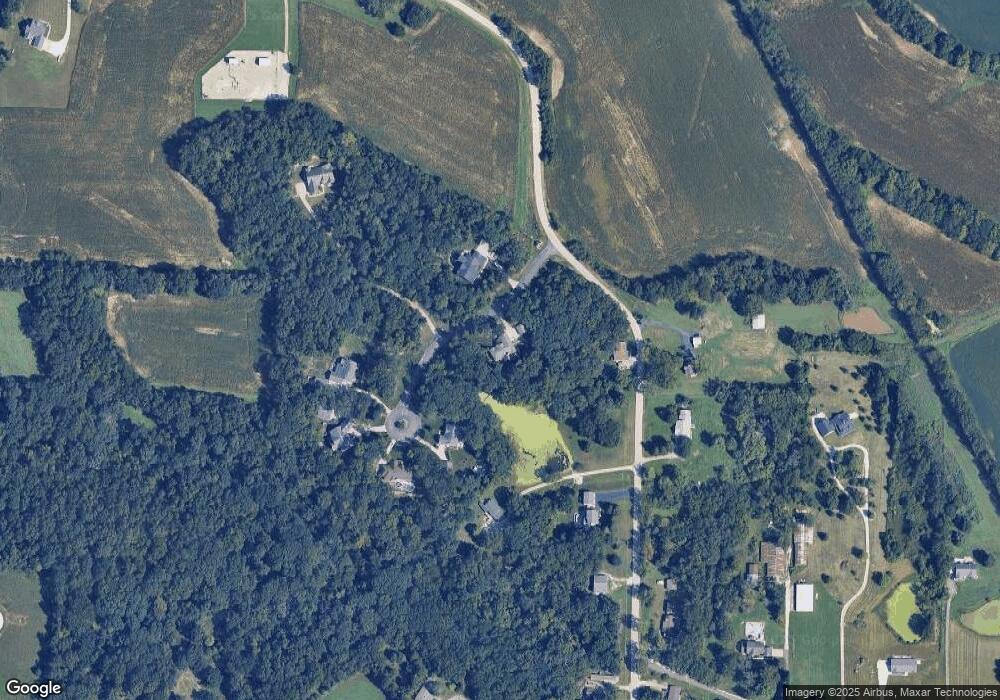
Map
Nearby Homes
- 7.19 Acres Matteson Blvd
- 3.59 Acres Matteson Blvd
- 3.6 Acres Matteson Blvd
- 0 Matteson Blvd
- 765 Koch Rd
- 116 Stone Ridge Meadows Dr
- 9 Spring Ct
- 203 Royal Oaks Dr
- 1342 Woodgrove Park Dr
- 1317 New Charter Ln
- 1466 Koch Rd
- 12 Warshire Ct Unit 67A
- 107 Roxbury Dr
- 103 Roxbury Dr
- 23 New Freedom Way
- Lot 16 Wyndbrook Ln
- 992 Tilestone Dr
- 2160 Wyndbrook Ln
- 421 Dames Park Dr
- 419 Dames Park Dr
- 0Lot 2 Castle Creek Ct
- 0Lot 1 Castle Creek Ct
- 0Lot 5TBB Castle Creek Ct
- 0Lot 6TBB Castle Creek Ct
- 0Lot 7TBB Castle Creek Ct
- 0Lot 7 Castle Creek Ct
- 0Lot 6 Castle Creek Ct
- 0Lot 5 Castle Creek Ct
- 101 Castle Creek Ct
- 1801 Koch Rd
- 104 Castle Creek Ct
- 0 Unknown Unit 705587
- 0 Unknown Unit 439805
- 0 Unknown Unit 439804
- 0 Unknown Unit 439797
- 0 Unknown Unit 439794
- 0 Unknown Unit 245385
- 0 Unknown Unit 677972
- 0 Unknown Unit 677970
- 0 Unknown Unit 677969